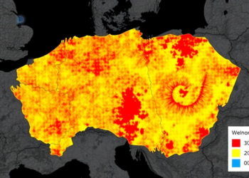
Scientists Map Wildfire Fuels Across Czech Republic at 30-Meter Resolution
Researchers developed a 30-meter fuel model classification for the Czech Republic, revealing that existing coarse European fuel maps substantially understate ...
Researchers developed a 30-meter fuel model classification for the Czech Republic, revealing that existing coarse European fuel maps substantially understate ...

A systematic test of Structure-from-Motion settings across Alabama pine forests found that an Ultra High reconstruction with depth filtering disabled ...
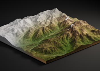
A new conditional diffusion model called DSR-STRDiff reconstructs high-resolution elevation data from coarse inputs, reporting the best metrics among compared ...

A four-decade Landsat analysis of Gauteng Province shows rising urban heat island intensity, more frequent heatwaves, and growing thermal stress ...
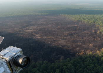
A study of 9,129 North American wildfires finds that radar delivers the fastest post-fire satellite imagery while multispectral sensors map ...

A four-stage hybrid framework combining convolutional spectral compression, a Transformer encoder, and U-Net spatial extraction reports 99.85% overall accuracy on ...
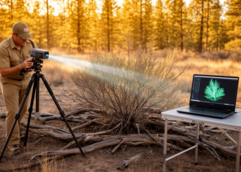
Researchers developed an object-centered laser scanning and meshing protocol that produces sub-millimeter 3D digital models of individual wildland fuel particles ...

A new Frontiers research collection gathers twelve studies spanning vulnerability assessment, ozone impacts, digital phenotyping, multi-trait breeding, and microbial inoculants ...

A global analysis combining satellite observations and climate model projections finds that wet events suppress vegetation productivity at northern high ...

A two-stage satellite mapping method reached up to 97.34 percent accuracy in extracting urban green space, and fifteen years of ...
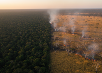
A 40-year analysis of MapBiomas burned-area centroids shows that fires in natural vegetation and anthropogenic land use in Brazil remain ...

A new study combines machine learning and spatial explainable AI to predict surface urban heat island intensity across the Mumbai ...
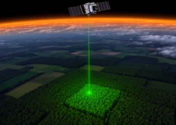
Combining GEDI spaceborne LiDAR data with French National Forest Inventory records in Fay-Herriot small area models cut the uncertainty of ...
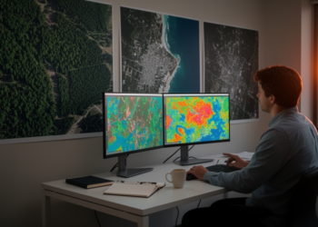
A systematic review finds deep learning exceeds 97 percent accuracy on remote sensing benchmarks but struggles with generalization, spectral exploitation ...
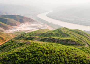
A 2013–2024 satellite analysis of 7,738 surface mining patches in the Yellow River Basin found that 56.78% of patches showed ...

A new study combined Sentinel-2 satellite data with field measurements to map grassland fuels at 10-meter resolution and model how ...

Radar time-series features from Sentinel-1 lifted land-cover classification in India's cloud-prone Cauvery Delta to 72 percent accuracy, with simple logistic ...
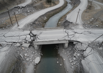
A deep learning framework trained on orthophotos from the 2011 Great East Japan Earthquake detected damaged roads and bridges with ...
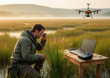
A new GIS-based survey maps 115 sedge taxa across Azerbaijan's landscapes and links their moisture-sensitive distribution to interannual temperature and ...

A bibliometric review of 382 publications maps the rapid growth, geographic concentration and thematic evolution of artificial intelligence research on ...