Researchers have built the first 30-meter-resolution fuel model classification for the Czech Republic, a mapping system designed to describe how vegetation across a fragmented Central European landscape would burn. The work, published in Fire Ecology, integrates openly available national datasets with ecological habitat descriptors to produce fuel maps compatible with the widely used Scott and Burgan (2005) classification standard. Because fuel type and amount at a given location fundamentally determine the potential intensity, spread rate, and duration of a fire, the authors compare this information to the fire load concept used in building design: it is a primary input for any fire behavior simulation.
Central Europe is rarely considered a high-risk region for wildfire, but the study’s background notes that climate change is projected to increase the likelihood of fire-conducive weather, which could raise wildfire frequency and severity in the region. The Czech landscape is dominated by agricultural land, including arable land and permanent grassland at roughly 53 percent, with forests covering about 34 percent, plus built-up areas, water bodies, and succession sites. This fine-grained mosaic motivated the team to develop spatially consistent input layers at 30-meter resolution, a detail level that existing European fuel products, available at best at 1-kilometer or 100-meter resolution, cannot match.
The classification builds on the Habitat Catalogue of the Czech Republic, which divides the landscape into nine groups of 157 natural biotopes plus one group of 49 human-influenced or fully anthropogenic biotopes, describing vegetation height, density, and structural attributes. The researchers linked these habitat classes to the Consolidated Layer of Ecosystems, a spatial dataset containing 41 basic ecosystem categories, and then applied separate classification pathways for forested and nonforested areas. Forest classification drew on datasets from the National Forestry Institute, derived from Copernicus, Landsat, PlanetScope, and national aerial survey data, considering species composition, site, age group, leaf area index, and bark beetle infestation.
The decision logic is explicit and technical. Bark beetle clear-cut areas with large amounts of dead wood received slash-blowdown fuel models, with the more conservative SB2 assignment used when dead wood was identified from remote sensing alone. Young stands up to 10 years old were classified as grass-shrub or shrub types, while older stands became timber-litter or timber-understory types depending on canopy closure measured through leaf area index. Open canopies supported understory vegetation and were mapped as timber-understory, whereas closed canopies where insufficient light reached the ground were mapped as timber-litter. Litter form, whether pine needles, other coniferous needles, or leaves, further refined these classes into pine forests, young coniferous stands, other coniferous forests, and deciduous forests.
Nonforested areas were classified using the ecosystem layer together with the Geographic Digital Landscape Model and the Land Parcel Identification System, with permanent grassland and cereal crop areas assigned to the GR4 grass fuel model. Importantly, the methodology treats agricultural vegetation as seasonally variable: most crops are practically nonflammable during the growing season but can behave as continuous fine fuels during full maturity and harvest. The team defined 30 of the 45 fuel models in the Scott and Burgan system for Czech conditions, deliberately excluding humid fuel model types that sustain flaming combustion at relatively high dead fuel moisture, after consultation with fire behavior specialists and based on national analyses showing that Czech wildfires occur mainly under dry fuel conditions.
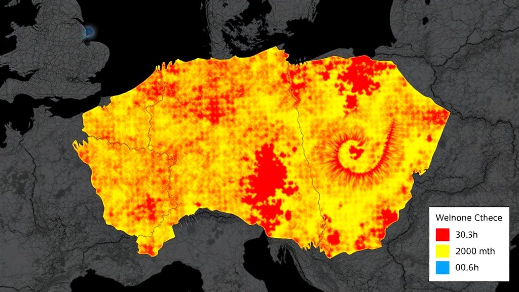
When the workflow was applied nationwide, nearly 87.6 million grid cells at 30-meter spacing received a fuel model estimate, with 23 of the 30 defined models actually represented in the landscape. The mapped patterns followed major land-use gradients: timber-litter and timber-understory models dominated closed forest landscapes of uplands and mountains, grass and grass-shrub models prevailed in agricultural lowlands and successional habitats, shrub models occurred mainly in young stands and shrublands, nonburnable models concentrated in urban areas and infrastructure, and slash-blowdown models appeared only in areas affected by recent disturbances such as bark beetle outbreaks and logging.
To test the consequences of these mapping choices, the researchers compared their Czech map with two pan-European products, one by Aragoneses and colleagues at 1-kilometer resolution and one by Kutchartt and colleagues at 100-meter resolution, after harmonizing all three to the Czech grid. All three converged on the overall dominance of forest fuel types, but diverged sharply elsewhere. Grass fuels covered 47.2 percent of the country in the Czech classification and 62.2 percent in the Aragoneses product, but only 5.1 percent in the Kutchartt product, which instead labeled 62.7 percent of the territory nonburnable, compared with 10.2 percent for the Czech map and 3.2 percent for Aragoneses. Grass-shrub fuels, typical of young stands and regenerating clearcuts, appeared only in the Czech map, at 4.3 percent of the area.
The differences carried through to fire behavior modeling. In a pilot area of heterogeneous forest and agricultural land near Karlovy Vary, the team ran FlamMap simulations under identical wind and fuel moisture settings, comparing their complete Czech input framework against the complete framework from the 100-meter European product. The Czech 30-meter inputs yielded substantially larger fractions of area with high fire behavior values: cells with a spread rate above 5 meters per minute rose from 5.6 to 20.9 percent, flame length above 2 meters rose from 5.8 to 21.5 percent, and fireline intensity above 1000 kilowatts per meter rose from 6.6 to 21.9 percent. Passive and active crown fire fractions also increased, and the nonburnable share differed markedly, at 15.4 percent in the Czech model versus roughly 31 percent in the European product for that area.
The authors are careful about what these numbers mean. Because each framework retained its own fuel and canopy layers, the comparison reflects the combined influence of alternative landscape input frameworks rather than isolating the effect of the fuel model map alone, and without independent observations of fire behavior, the relative accuracy of the two frameworks cannot be assessed. Higher resolution alone does not demonstrate the quality or validity of a fuel map, and the comparison does not establish which product is more accurate, since none represents an independent reference dataset. Preliminary field comparisons helped refine the classification rules but were not collected within a systematic validation framework.
The study therefore addresses only the first component of a longer program. The next steps, as outlined by the team, include a representative stratified sampling design covering major fuel model groups and stand structures, with dead woody fuels estimated using the photoload method combined with double sampling, live fuels quantified through vegetation cover and height measurements, and herbaceous loads in grass-dominated vegetation estimated with the Robel visual obstruction method. Measured fuel bed characteristics will then be compared against the standard Scott and Burgan parameters to determine whether regional calibration is needed, and fire behavior predictions will ultimately be validated against documented wildfires and experimental fires. If that validation succeeds, the authors write, high-resolution fuel mapping can support preventive planning, operational decision-making, and strategic measures by land managers, conservation authorities, and fire services in a region where fire danger is no longer a distant prospect.
Subject of Research: High-resolution fuel model mapping for wildfire risk assessment in the Czech Republic
Article Title: A fuel model classification approach for Central Europe: a high-resolution fire risk assessment example from the Czech Republic
Article References: Kudláčková, L., Novotný, J., Beranová, J., Mašková, R., Hlavsová, M., Cienciala, E., Dvořák, J., Poděbradská, M., Hasalová, L., Vystrčil, V., Opperman, Z. D., & Trnka, M. (2026). A fuel model classification approach for Central Europe: a high-resolution fire risk assessment example from the Czech Republic. Fire Ecology, 22(1), Article 151. https://doi.org/10.1186/s42408-026-00584-3
Image Credits: AI Generated
DOI: 10.1186/s42408-026-00584-3
Keywords: wildfire, fuel models, Czech Republic, fire behavior modeling, FlamMap, remote sensing, Central Europe, fire risk assessment, Scott and Burgan classification, landscape ecology, climate change, forest management
News Source: Drew Townsend. (October 29, 2026). Scientists Map Wildfire Fuels Across Czech Republic at 30-Meter Resolution. Scienmag.