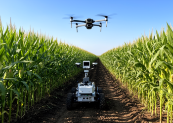
Autonomous Drone and Rover System Measures Maize Traits in Field Trials
Agricultural engineers combined aerial drone surveys and ground rover imaging to measure maize plant height, ear height, and ear height ...
Agricultural engineers combined aerial drone surveys and ground rover imaging to measure maize plant height, ear height, and ear height ...
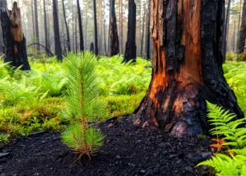
A twenty-year investigation of Mediterranean wildfires in Catalonia reveals that satellite spectral indices can signal forest canopy recovery faster than ...
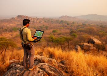
A comprehensive modeling study in Madhya Pradesh reveals that gradient-boosting ensembles outperform complex deep neural architectures in regional wildfire susceptibility ...

A systematic review of 177 studies details how artificial intelligence and advanced spatial data transformed 3D urban modeling from static ...
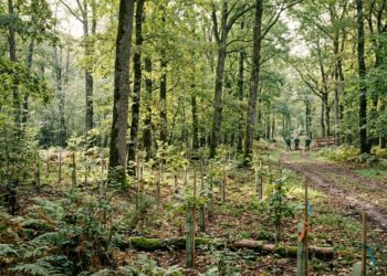
A study of French public forestry reveals how persistent climate disturbances are transforming traditional decades-long management cycles into adaptive planning ...

Researchers propose an artificial intelligence framework combining satellite imagery and machine learning to map urban heat islands and guide sustainable ...

A machine learning framework combining satellite and reanalysis data accurately predicted winter fine particulate matter levels across Riyadh.

A study in Air Quality, Atmosphere & Health uses satellite data to map the spatial relationships between air pollution, land ...
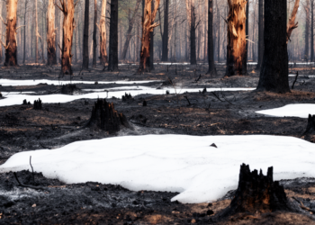
A matched satellite analysis of California's 2020 Creek Fire found increased snow persistence only in the most severely burned areas, ...
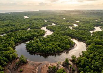
Researchers combining Sentinel-2A satellite imagery, InVEST ecological modeling, and machine learning determined that mangrove forests store over 10.2 million tonnes ...
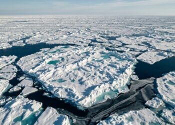
A dual-branch deep learning framework called MAG-Net fuses Sentinel-1 radar and Sentinel-2 optical imagery over Hudson Bay, reaching 96.69% mean ...

A comparative evaluation of GF-1, Landsat 9, and HJ-2 A satellite data reveals that GF-1 achieves the highest modeling accuracy ...
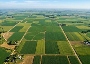
An agronomic-knowledge guided deep learning model called AKGMamba estimates plot-scale seed maize yield from Sentinel-2 imagery, reaching an R2 of ...
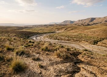
A new study maps desertification sensitivity across the Oued-Sakni sub-catchment in central Algeria, classifying 43.6% of its surface as critical ...
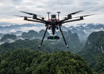
A bibliometric analysis of 66 peer-reviewed documents from 2015 to 2025 finds China dominates UAV-LiDAR research for forest structure estimation ...
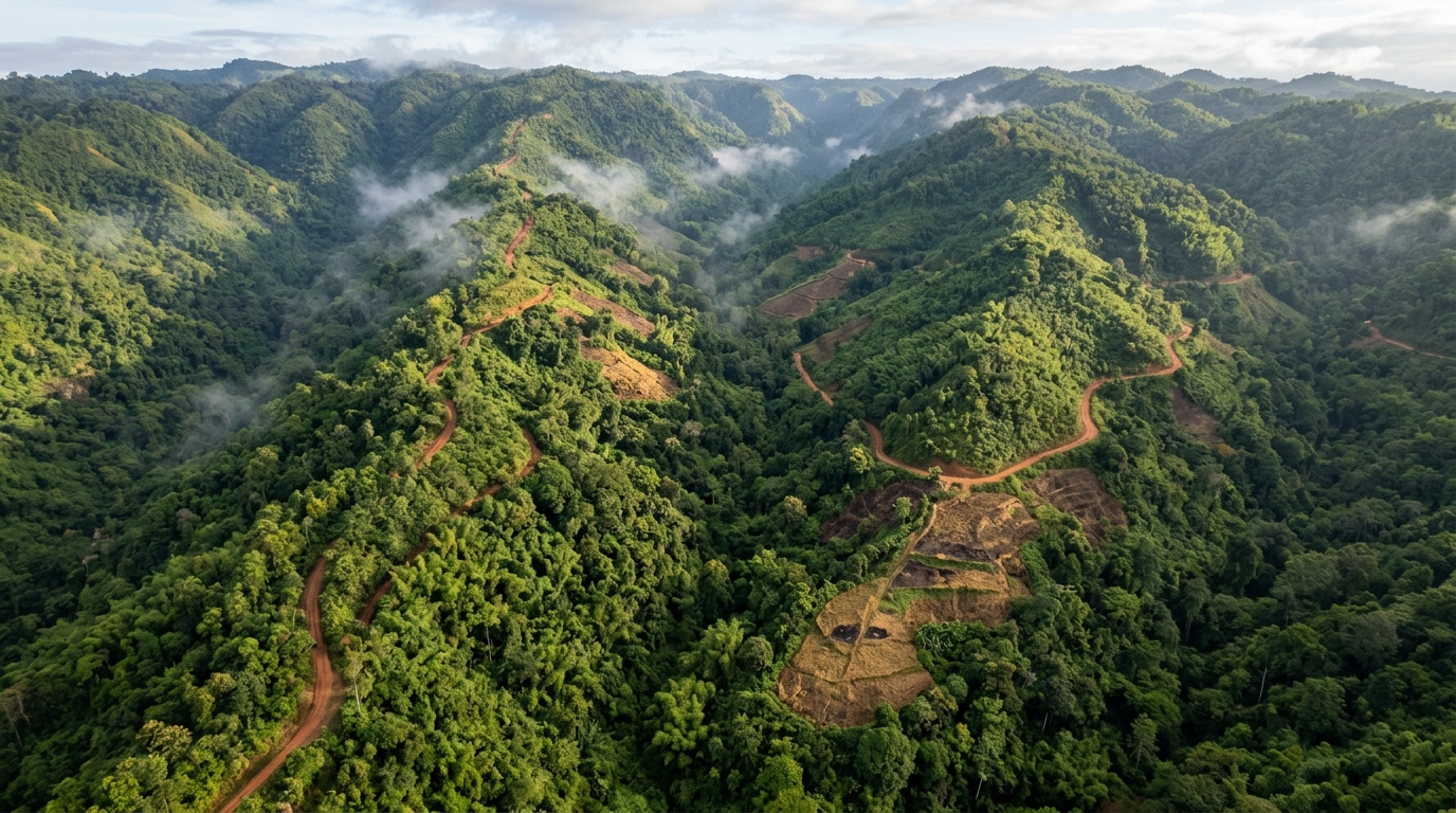
A Weight of Evidence model built on Landsat data shows that 41.06% of Mizoram, India's most forest-covered state, falls into ...

A new opinion article argues that Earth's 4 billion years of coevolution between life and its physical environment make biodiversity ...

A new satellite study mapped 148 square kilometres of bamboo in eastern Nepal using Sentinel-2 imagery, finding that a Random ...

An explainable GeoAI framework identifies ice thickness and elevation as the dominant predictors of glacier surface velocity variability on Chhota ...

An automated VHF telemetry system called ALERT detected the return of all 18 tagged emperor penguins at Atka Bay, Antarctica, ...