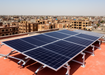
Computer Vision Framework Accurately Maps Urban Rooftop Solar Potential in Pakistan
Researchers combined YOLOv8 object detection with the Segment Anything Model to identify urban rooftops from satellite imagery and estimate solar ...
Researchers combined YOLOv8 object detection with the Segment Anything Model to identify urban rooftops from satellite imagery and estimate solar ...
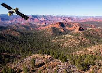
Researchers developed 4D-FUELS, a semi-automated machine-learning system combining airborne lidar with Sentinel satellite imagery to map fourteen forest structure and ...
A synthesis in Nature Plants reviews global plant diversity patterns and their drivers, showing that technological advances alone cannot overcome ...

Researchers Cláudia M. Viana and Jorge Rocha examine the emergence of Geospatial Artificial Intelligence, analyzing how data-driven machine learning transforms ...

Researchers used multi-seasonal satellite imagery to map 18,926 occurrences of the endemic Dnipro birch across southern Ukraine, establishing an essential ...

Researchers have developed an edge-computing framework combining three-dimensional convolutional neural networks with adaptive swarm optimization to classify land cover directly ...
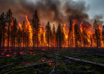
A study of over one thousand wildfires in Ontario's western boreal forest reveals that multi-year climate moisture legacies and conifer ...

High-resolution GPS tracking and satellite data demonstrate that coexisting sandgrouse maintain pronounced spatial segregation across seasons despite sharing highly similar ...
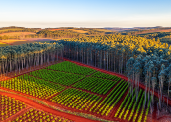
Researchers have developed a satellite-based workflow that estimates the age of Eucalyptus plantations with month-level precision, addressing a critical gap ...
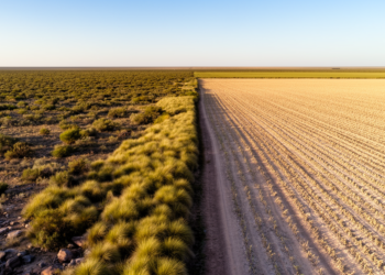
A long-term satellite analysis across Argentina reveals that natural vegetation demonstrates greater ecological resistance to meteorological droughts than simplified anthropogenic ...
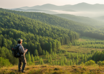
A study of China's National Ecological Civilization Demonstration Program reveals that designated counties possess higher baseline forest cover but show ...
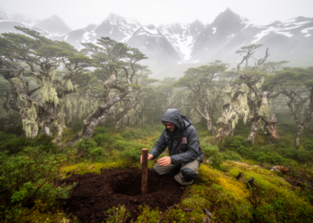
Researchers integrated forest inventory measurements and soil samples across 884 field plots to map total stand carbon across Tierra del ...
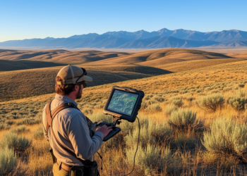
High-resolution satellite imagery significantly outperforms coarse maps for planning and assessing prescribed fires in sagebrush rangelands, according to a new ...

A multi-decadal study of South American protected areas demonstrates that ecosystem responsiveness to climate variability peaks in semi-arid regions and ...
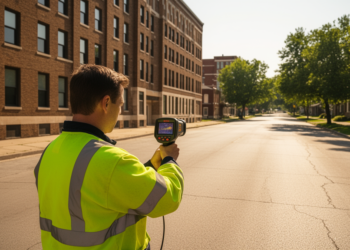
Integrating localized urban form metrics and spatial context into machine learning models significantly improves urban microclimate classification and heat exposure ...
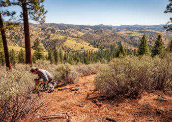
Researchers developed a quantitative method to map wildfire fuel models from plant cover estimates, revealing key thresholds in sagebrush steppe ...
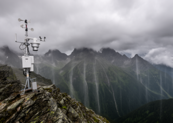
Researchers developed a local structural enhancement framework that reduced precipitation estimation errors across regional test scenarios, though predictions remained compressed ...
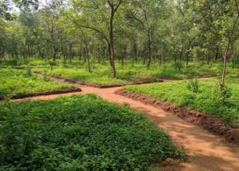
A study in Agra, India, finds that while urban green space area recovered after 2016, persistent fragmentation and declining per ...
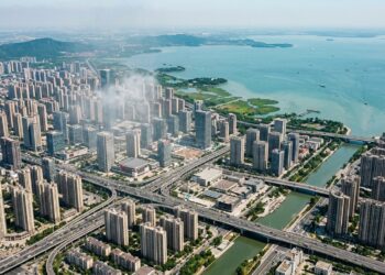
A thirty-year analysis of Wuxi City reveals how urban growth and farmland loss significantly altered local temperature and precipitation trends ...

Researchers have developed MSBA-SAM, an adapted deep learning framework that automates aerial power grid segmentation by combining dual-branch image encoding ...