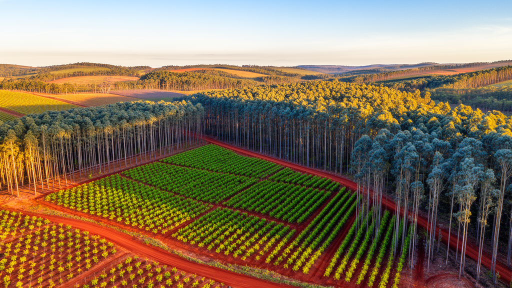
Researchers have developed a satellite-based workflow that estimates the age of Eucalyptus plantations with month-level precision, addressing a critical gap in forest management and carbon accounting. Published in the Annals of Forest Science, the study demonstrates that combining monthly Harmonized Landsat–Sentinel imagery with an adapted LandTrendr algorithm allows for reliable dating of harvest events in short-rotation plantation systems. The team achieved an overall accuracy of 83.2% and a mean absolute timing error of 1.58 months, enabling a more granular understanding of stand age than previously possible with annual data composites.
The study focused on Eucalyptus plantations in Luzhai County, Guangxi, China, a region characterized by hilly terrain and a subtropical monsoon climate. In this area, Eucalyptus trees are typically managed on a 5 to 7-year rotation cycle, with harvesting usually followed by coppice regeneration rather than full replantation. This management pattern creates a diverse stand age structure, making the region suitable for testing month-resolved harvest detection methods. The research team utilized monthly Harmonized Landsat–Sentinel composites from 2019 to 2024 to derive spectral indices that reflect changes in vegetation cover, biomass, and moisture.
Traditional remote sensing approaches often rely on annual or seasonal composites, which are effective for identifying the year of disturbance but often lack the temporal precision needed for month-resolved age estimation. In managed plantation systems where harvest and regrowth occur over short intervals, annual data can blur the timing of canopy loss and recovery, increasing uncertainty in age inference. To overcome this limitation, the researchers employed the Harmonized Landsat–Sentinel (HLS) products, which provide harmonized, high-frequency observations from both Landsat and Sentinel-2 satellites. These datasets were processed through a standardized NASA pipeline, including atmospheric correction and geometric correction, allowing for direct fusion at a 30-meter spatial resolution.
The core of the methodology involved an adapted LandTrendr workflow, a segmentation-based algorithm widely used for identifying temporal breakpoints in forest trajectories. Because LandTrendr was originally designed for annual-scale inputs, the team made specific modifications to apply it to monthly data. They first reconstructed complete monthly time series by filling data gaps caused by cloud cover using linear interpolation. This approach preserved the main harvest-related breakpoints while maintaining temporal continuity, which is essential for accurate segmentation in humid subtropical regions where persistent cloud cover can reduce the reliability of optical time series.
To enhance the robustness of harvest detection, the researchers employed a multi-index fusion strategy. They evaluated six candidate spectral indices and selected four that showed the highest sensitivity to harvest-related changes: the Normalized Burn Ratio (NBR), Normalized Difference Moisture Index (NDMI), Tasseled Cap Wetness (TCW), and Tasseled Cap Angle (TCA). By running LandTrendr independently on each of these indices, the team could identify change dates for each pixel. They then integrated these index-specific dates using a temporal-consensus fusion rule with a ±1-month tolerance, which helped suppress single-index false alarms while retaining changes supported by multiple spectral indicators.
The results demonstrated that monthly inputs significantly improved harvest detection compared to annual inputs. When using the same validation samples, the overall detection accuracy increased from 82.2% under annual input to 89.4% under monthly input. Furthermore, the producer’s accuracy for harvested samples increased from 80.8% to 88.4%, and the user’s accuracy increased from 83.1% to 90.2%. These improvements indicate that month-resolved inputs retained more of the short-term spectral transitions associated with harvest and immediate post-harvest conditions, which annual composites tend to average into a weaker or temporally ambiguous signal.
The multi-index fusion model outperformed single-index configurations over the full study period. The multi-index model achieved the highest overall accuracy of 83.2% with a mean absolute error of 1.58 months. In comparison, the best single-index model, using NBR, reached an accuracy of 76.8% with a mean absolute error of 2.29 months. This suggests that combining different spectral indices reduced the dependence of harvest date detection on any single response pathway, providing a more stable basis for stand age inference in intensively managed plantation systems.
The study also highlighted the importance of the ±1-month temporal tolerance in evaluating detection accuracy. Applying this tolerance improved harvest-detection accuracy for all index configurations, as it accounted for small offsets between spectral responses and actual harvesting operations. In managed Eucalyptus plantations, canopy removal and early regrowth can shift the apparent spectral breakpoint by several weeks. By distinguishing small timing offsets from true detection failures, the tolerance strategy provided a more reliable assessment of the workflow’s performance.
Based on the final multi-index fused harvest dates, the researchers derived monthly stand age estimates for December 2024. The mapped Eucalyptus area covered 802.6 square kilometers, accounting for 24.3% of the study area. The stand age distribution showed that plantations aged 5 to 6 years and older accounted for 42.3% of the mapped area, while plantations aged 0 to 2 years accounted for 12.8%. This detailed age structure provides valuable information for plantation inventory updating and harvest scheduling, allowing managers to track the progression of stands through their rotation cycles with greater precision.
The workflow offers a cost-effective solution for month-resolved stand age assessment using freely available satellite data and cloud-based processing. By leveraging the Google Earth Engine platform, the researchers were able to process large volumes of HLS data efficiently. The study suggests that this framework can support carbon-related assessments by providing timely stand age information, which is a key indicator of carbon sequestration capacity. The ability to update plantation inventories frequently and spatially explicitly addresses the limitations of conventional field inventories, which are labor-intensive and difficult to maintain at regional scales.
While the workflow showed strong performance in Luzhai County, the researchers noted that its applicability to other regions and plantation types requires further testing. The study’s success in a humid subtropical environment with significant cloud cover suggests that the linear interpolation and multi-index fusion strategies are robust, but performance may vary in areas with different management regimes or vegetation types. Future work should evaluate the transferability of the workflow to other intensively managed plantation systems with clear harvest-regeneration cycles.
The integration of optical, Synthetic Aperture Radar (SAR), or thermal data could further improve robustness under persistent cloud cover and complex background conditions. This study contributes to the growing body of research on time series approaches for canopy change detection, demonstrating that sub-annual timing is directly relevant to stand age estimation in fast-growing plantation systems.
By providing month-resolved stand age estimates, the workflow enables more precise tracking of growth status and wood yield. This level of detail is particularly important for carbon accounting, where accurate age data is necessary to model carbon sequestration dynamics. The study provides a practical framework for translating dense satellite observations into actionable information for plantation managers and researchers.
In conclusion, the adaptation of the LandTrendr algorithm to monthly Harmonized Landsat–Sentinel data represents a significant methodological advancement in forest monitoring. By combining time series reconstruction, harvest-oriented breakpoint selection, and multi-index fusion, the researchers achieved reliable month-resolved harvest dating for Eucalyptus plantations. This approach not only improves the accuracy of stand age estimation but also offers a scalable solution for regional-scale monitoring of short-rotation plantation systems.
Subject of Research: Month-resolved stand age estimation of Eucalyptus plantations using Harmonized Landsat–Sentinel imagery and an adapted LandTrendr workflow.
Article Title: Estimating the age of Eucalyptus plantations using monthly Harmonized Landsat–Sentinel imagery and a LandTrendr-based workflow
Article References: Huang, J., Wei, H., Ding, J., Liang, Y., Wu, Z., Chen, J., & You, H. (2026). Estimating the age of Eucalyptus plantations using monthly Harmonized Landsat–Sentinel imagery and a LandTrendr-based workflow. Annals of Forest Science, 83(1), Article 23. https://doi.org/10.1186/s13595-026-01339-5
Image Credits: AI Generated
DOI: 10.1186/s13595-026-01339-5
Keywords: Eucalyptus plantations, Remote sensing, LandTrendr, Harvest detection, Stand age estimation, Harmonized Landsat–Sentinel, Forest management, Carbon accounting, Time series analysis, Multi-index fusion, Estimating, Eucalyptus
News Source: Alan Morgan. (November 11, 2026). Satellite Data Tracks Eucalyptus Plantation Age with Month-Level Precision. Scienmag.