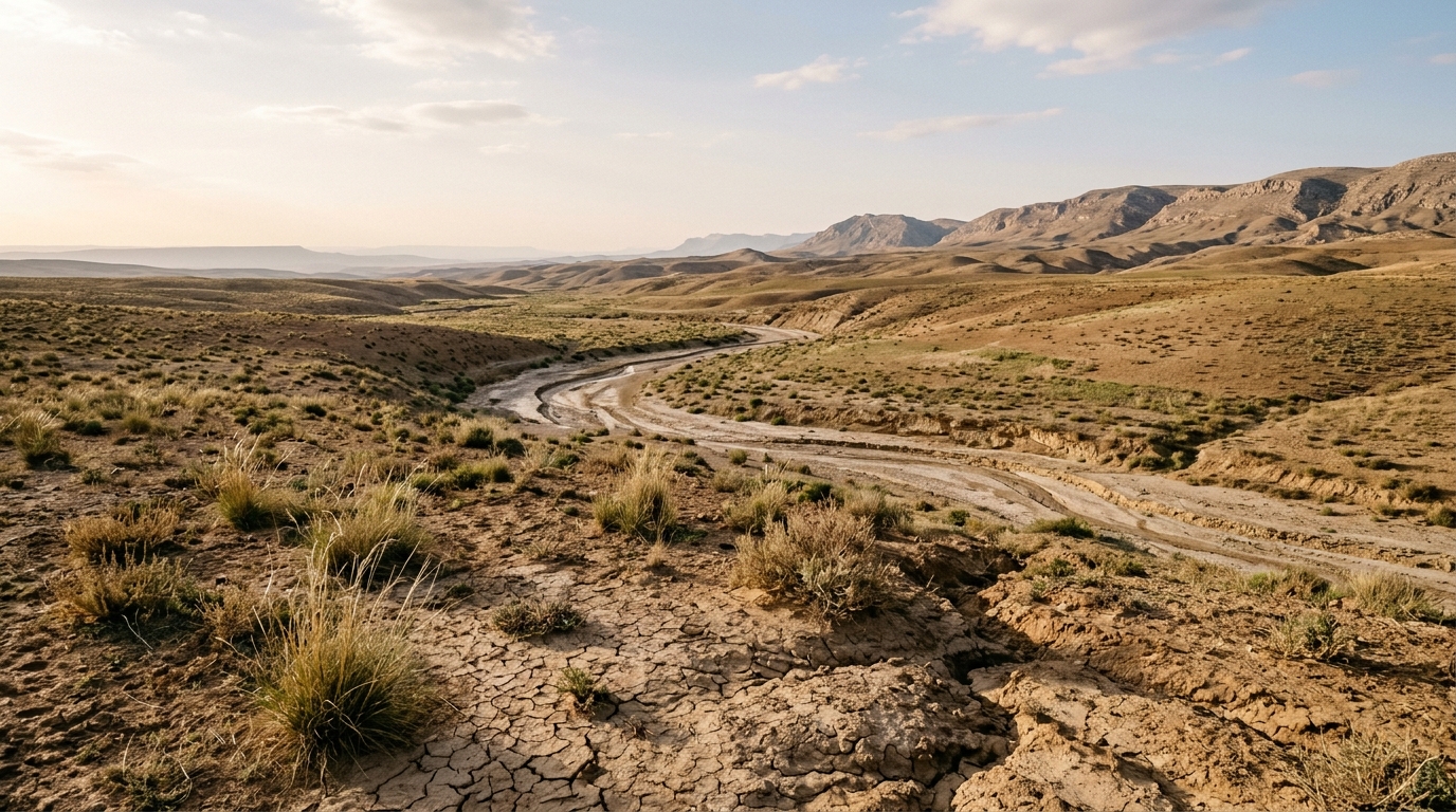
A large stretch of Algeria’s steppe belt has been mapped in fine detail for its vulnerability to desertification, and the picture is stark. In the Oued-Sakni sub-catchment, a representative unit of the Cheliff-Zahrez hydrographic basin in central Algeria, researchers found that 43.6% of the total surface falls into the critical category for desertification sensitivity, 49.2% is classed as fragile, and only 7.2% remains potentially sensitive. The assessment, published in Frontiers in Sustainable Food Systems, combined geoinformatics and remote-sensing techniques within the MEDALUS framework to delineate Environmentally Sensitive Areas at a resolution fine enough to support local management decisions.
The study addresses a long-standing gap. Although the region’s vulnerability to land degradation had been noted in earlier national-scale surveys, its spatial pattern had never been mapped at a scale that could guide practical interventions on the ground. The MEDALUS approach, developed for Mediterranean Desertification and Land Use studies, computes an Environmental Sensitivity Area Index as the geometric mean of four thematic indices: the Soil Quality Index, the Climate Quality Index, the Vegetation Quality Index and the Management Quality Index. Each index is built from natural and anthropogenic layers that together describe how susceptible the land is to degradation.
A key methodological adaptation set this work apart from comparable steppe studies. Local, high-resolution soil survey data are scarce in the region, so the researchers substituted the traditional soil depth and texture inputs with high-resolution Volumetric Water Retention data drawn from the World Soil Information Service database. This substitution allowed the Soil Quality Index to retain an empirical foundation despite the absence of detailed field soil mapping, giving the desertification sensitivity assessment a level of soil detail rarely available in semi-arid catchments of this kind.
Land cover, described by the authors as the most dynamic of the four inputs, was mapped independently through a Random Forest classifier trained on Sentinel-2 imagery within Google Earth Engine. The classifier achieved an overall accuracy of 86.2% and a Kappa coefficient of 0.823, figures that give the vegetation and management layers an empirical grounding rarely available in comparable steppe studies.
The resulting classification places the Oued-Sakni sub-catchment among the more severely affected steppe catchments reported in the recent regional literature. With more than nine-tenths of the surface falling into either the critical or fragile categories, the findings indicate that the land’s susceptibility to degradation is widespread rather than confined to isolated patches.
The Environmental Sensitivity Area Index integrates the four quality indices into a single measure of sensitivity. The Soil Quality Index reflects the intrinsic capacity of the soil to resist degradation, here informed by the volumetric water retention layers. The Climate Quality Index captures climatic conditions that drive aridity and erosion risk. The Vegetation Quality Index describes the protective role of plant cover, and the Management Quality Index accounts for human pressures such as grazing intensity and land use practices.
The authors frame the resulting ESA maps as an operational decision-support tool for prioritizing soil-conservation and rangeland-management interventions in this and comparable semi-arid environments. Prioritizing soil and vegetation conservation in these critical zones is described as key to protecting forage resources and safeguarding long-term food security in the region.
The study was conducted by a multi-institutional team spanning Algeria, Tunisia and Egypt, led from the Research Center on Agropastoralism in Djelfa, Algeria, with contributions from the National Higher School of Forestry in Khenchela, the Centre de Recherche Scientifique et Technique sur les Regions Arides in Biskra, Universite Ibn Khaldoun de Tiaret, Universite de Gabes, the National Authority for Remote Sensing & Space Sciences in Egypt, Sohag University, Tanta University and the Rossijskij universitet druzby narodov in Moscow. The article was received on 13 July 2026 and accepted on 21 September 2026.
Subject of Research: Desertification sensitivity mapping of the Oued-Sakni sub-catchment in central Algeria using the MEDALUS framework, Sentinel-2 imagery and high-resolution soil water retention data.
Article Title: Integrating geoinformatics and high-resolution soil water retention data for fine-scale desertification sensitivity mapping of the Oued-Sakni sub-catchment, Cheliff-Zahrez hydrographic Basin, Algeria
Article References: Laouisset, M. B., Aliat, T., Rahmani, M. M., Bouacha, M. I., Bouzekri, A., Hamdi, W., Khdery, G. A., Mustafa, A.-R. A., & Shokr, M. S. (2026). Integrating geoinformatics and high-resolution soil water retention data for fine-scale desertification sensitivity mapping of the Oued-Sakni sub-catchment, Cheliff-Zahrez hydrographic Basin, Algeria. Frontiers in Sustainable Food Systems, 10, Article 1936786. https://doi.org/10.3389/fsufs.2026.1936786
Image Credits: AI Generated
DOI: 10.3389/fsufs.2026.1936786
Keywords: desertification, Algerian steppe, MEDALUS, Sentinel-2, Google Earth Engine, random forest, soil water retention, remote sensing, land degradation, Oued-Sakni sub-catchment, Environmentally Sensitive Areas, WoSIS
News Source: Alan Morgan. (November 6, 2026). Algerian Steppe Catchment Mapped for Desertification Risk Using Sentinel-2 and Soil Water Retention Data. Scienmag.