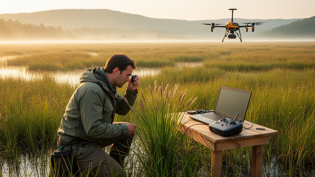
Sedges are easy to overlook. They crowd the margins of rivers, carpet mountain meadows and vanish into swamps without ever drawing the attention that wildflowers command. Yet in Azerbaijan, a new study argues that this humble family of monocotyledonous plants, the Cyperaceae, may be one of the most informative barometers of environmental change in the South Caucasus. By combining classical floristic records with satellite-derived climate data and modern geographic information systems, researchers have produced the first comprehensive, spatially explicit picture of where the country’s sedges live, what ecological conditions they demand and how those conditions shifted between 2020 and 2024.
The study, published in the Biodiversity Data Journal, identified 115 taxa belonging to 14 genera of Cyperaceae across Azerbaijan. The team compiled taxonomic information from classical and modern sources, including the current listings of World Flora Online, and cross-checked older national references against modern classification. That reconciliation mattered: several genera historically recognised in the Azerbaijani flora, such as Juncellus, Acorellus, Pycreus and Torulinium, have been merged into the genus Cyperus, while Elyna and Cobresia now sit within Carex. In addition, 20 species currently listed in the family have been reclassified as subspecies with synonymous names, and two as varieties, underscoring how much the taxonomic landscape has shifted since the mid-twentieth-century floras on which regional botany was built.
The ecological analysis revealed a family overwhelmingly tied to moisture. Of the 115 taxa recorded, 67 species, or 58 percent, are mesophytes, plants of moderately moist meadows, forests, humid sandy areas and river valleys. A further 24 taxa, 21 percent, are hygromesophytes found around rivers, channels, rice plantations and wet meadows, and 18 taxa, 16 percent, are true hygrophytes concentrated in swamps and rice paddies. Only six taxa, 5 percent, are xerophytes, restricted to stony-gravelly screes, dry slopes and sandy-gravelly ground. Representative mesophytes include Cyperus rotundus, Scirpus silvaticus and Carex remota, while the hygrophytic group contains species such as Cyperus difformis, Eleocharis euuniglumis and Carex vesicaria. Taken together, the authors argue, these proportions mark sedges as phytoindicators of humidity, organisms whose presence and abundance track the hydrological balance and soil moisture stability of a landscape.
Light requirements told a complementary story. Among the Azerbaijani sedges, 94 of the 115 taxa, or 82 percent, are heliophytes, light-demanding plants of open meadows, slopes and semi-desert areas that rarely penetrate the forest zone. The remaining 21 taxa, 18 percent, are sciophytes, shade-loving species of the lower tiers of forests and thickets, including Carex digitata, Carex phyllostachys and Scirpus silvaticus.
Mapping the taxa against Azerbaijan’s landscape and soil types showed that this distribution is anything but random. Representatives of the family occur in eight of the eleven main landscape types distinguished in the country, which spans the Greater Caucasus, the Lesser Caucasus with the Karabakh Plateau and the Talysh Mountains, with elevations ranging from 28 metres below Caspian Sea level to the 4,485-metre summit of Mount Bazarduzu. The species are conspicuously absent from the nival and partially nival-glacial landscapes of the high mountains, the semi-desert landscapes of the low mountains and the dry-steppe landscapes of the plains. Elsewhere, each landscape-soil combination supports its own sedge communities: turfy mountain-meadow soils under alpine and subalpine meadow-steppe, brown and carbonate mountain-forest soils under humid shady forests and swampy meadows of the middle highlands, alluvial meadow-forest soils in lowland forest-meadow landscapes, and grey-meadow soils in the marshy meadows of semi-desert lowlands.
To connect this ecological picture with climate, the researchers drew on WorldClim data for average annual temperature and precipitation in 2020 and 2024, together with a Digital Elevation Model from the OpenTopography portal, processing everything in ArcGIS Pro. The authors are careful about what their analysis can and cannot show. The climatic comparison was deliberately restricted to the 2020 to 2024 window and is interpreted as interannual climatic variation rather than as a long-term climatological normal or a quantification of climate change. Within that window, however, the shifts were clear. The minimum annual average temperature recorded across the country rose from minus 10.2 degrees Celsius in 2020 to minus 8.8 degrees in 2024, while the maximum annual average temperature increased from 7.75 degrees to 8.13 degrees over the same period.
The spatial patterns of these changes were uneven. The temperature increase was most pronounced in the Aran zone, the Absheron Peninsula and the southern Lankaran Plain, while mountainous and foothill areas showed weaker but still detectable differences between the two years. Precipitation changed only slightly overall, but the observed differences carried potential implications for moisture-dependent habitats, particularly in the Central Aran region, Nakhchivan Autonomous Republic, the Absheron Peninsula and the Karabakh plains. The highest precipitation levels in both years fell in the Guba-Khachmaz, Shaki-Zagatala and Lankaran zones, with the differences between the two analysed years varying spatially across the country. The authors suggest that such temperature and precipitation differences may be associated with reduced soil moisture availability and increased evaporative demand, conditions that could affect the suitability of biotopes for hydrophytic and hygrophytic plants, including sedges.
Why should a temperature shift of roughly a degree and a half in the annual minimum matter to a plant family? The answer, the study argues, lies in the sedges’ physiology and ecology. Cyperaceae species are described as highly sensitive to temperature changes, and rising temperatures combined with decreasing precipitation increase evaporation, reduce soil moisture and drive negative changes in the water balance, drying soils and shrinking wetland areas. These processes degrade conditions for hydrophilic species, potentially allow drought-adapted plants to replace sedge-dominated phytocenoses and raise the likelihood of vegetation zones shifting. The authors note that in drier settings, plant communities such as Caricetum-Scirpusetum and Eleocharisetum may become more vulnerable to changes in moisture availability, potentially giving way to communities dominated by grasses and aster-family plants. In the relatively dry Aran and Absheron regions, the occurrence of sedges may depend heavily on local moisture availability and irrigated habitats, whereas suitable humid habitats cluster in the Lankaran natural region, the river valleys of the Kura-Araz depression and the foothill humid meadows.
The Azerbaijani findings are placed in a wider scientific context. The country hosts more than 4,500 species of higher plants, roughly 66 percent of all plant species found across the Caucasus, making it a regional biodiversity hotspot. Worldwide studies have projected significant impacts of climate change on ecosystems and species, and recent work cited by the authors indicates that species with restricted niches, such as many aquatic Cyperaceae, are particularly susceptible to extreme climate variations, which can intensify eutrophication and habitat loss. Because sedges are major or even dominant components of wetland habitats, a decline in sedge coverage within these systems serves as a useful indicator of potential habitat damage. Research in degraded wetland ecosystems has shown that Cyperaceae coverage decreases significantly as degradation intensifies, while drought-tolerant graminoid taxa increase, a pattern the authors consider directly relevant to interpreting moisture-driven changes in Azerbaijan.
For the authors, the study’s broader contribution is methodological as much as ecological. Integrating remote sensing, spatial data analysis and climate data, they write, provides a useful framework for assessing potential relationships between climatic variation, vegetation distribution and biodiversity. The GIS-based approach allows relationships between climatic parameters and vegetation to be assessed explicitly at national scale and offers a replicable template for future monitoring programmes. The team stresses that its findings are prospective rather than demonstrated: the observed climatic differences between 2020 and 2024 may influence habitat suitability, but confirming how sedge communities actually respond will require continued GIS-based monitoring and longer-term observation. In a country where two-thirds of the territory is mountainous and wetlands sit at the sharp end of evaporative demand, the sedges quietly rooted in its marshes and meadows may prove to be among the most honest witnesses of what the coming decades bring.
Subject of Research: Ecogeographic distribution of the Cyperaceae family in Azerbaijan analysed with GIS and remote sensing
Article Title: Climate-driven spatial distribution and ecogeographical analysis of Cyperaceae using GIS and remote sensing
Article References: Ibadullayeva, S., Sadigova, N., Mammadova, Z., Movsumova, N., Shiraliyeva, G., & Khudaverdiyeva, S. (2026). Climate-driven spatial distribution and ecogeographical analysis of Cyperaceae using GIS and remote sensing. Biodiversity Data Journal, 14, Article e194618. https://doi.org/10.3897/bdj.14.e194618
Image Credits: AI Generated
Keywords: Cyperaceae, sedges, Azerbaijan, GIS, remote sensing, WorldClim, wetlands, ecological indicators, climate variation, biodiversity, landscape ecology, plant distribution
News Source: Margaret Porter. (October 28, 2026). Research report: Climate-driven spatial distribution and ecogeographical analysis of Cyperaceae using GIS and remote sensing. Scienmag.