
Geospatial Screening Identifies Key High Suitability Wind Corridors Across Egypt
A national geospatial multi-criteria evaluation indicates that approximately 1.60 percent of Egypt's land area is highly suitable for commercial wind ...
A national geospatial multi-criteria evaluation indicates that approximately 1.60 percent of Egypt's land area is highly suitable for commercial wind ...
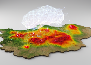
A geospatial machine learning study in East Azerbaijan province found that gastric cancer cases cluster significantly in central districts, with ...

A new GIS-based model identifies sustainable urban development zones in Lalitpur District, Nepal, by integrating environmental and socio-economic factors to ...
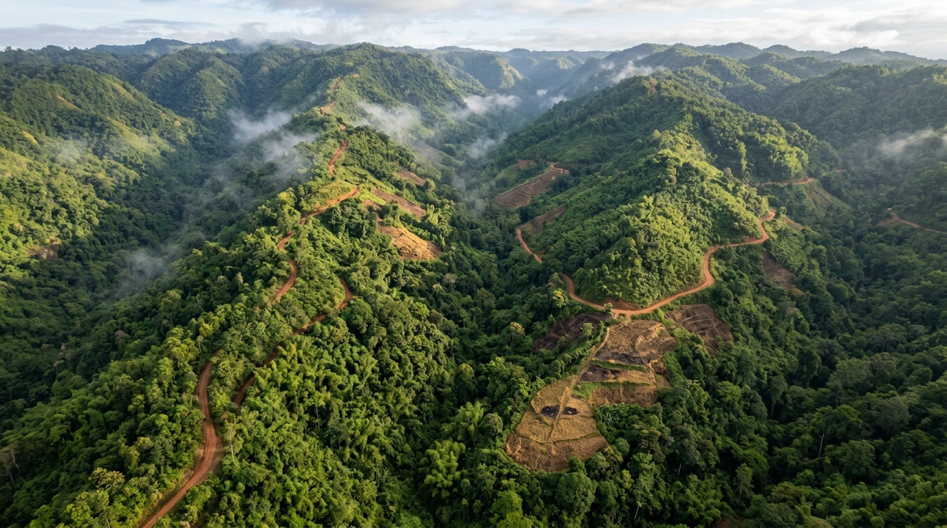
A Weight of Evidence model built on Landsat data shows that 41.06% of Mizoram, India's most forest-covered state, falls into ...

A new satellite study mapped 148 square kilometres of bamboo in eastern Nepal using Sentinel-2 imagery, finding that a Random ...

A GIS and AI-assisted planning framework tested on aging districts in Sharjah and Ajman proposes walkable street networks, land-bank reuse, ...

Machine learning models trained on hydrochemical data from nineteen stations in Odisha's Mahanadi River Basin indicate that most sampled surface ...

A twelve-year study of Odisha's Baitarani River combined water quality indices, multivariate statistics and machine learning to identify monsoon-season pollution ...

A three-year geospatial study of the Mahanadi River near Paradip, Odisha, found that most monsoon-season surface water samples were unfit ...

A GIS and AHP-based study identifies 1,155.25 square kilometers of northern Iran as suitable for hybrid solar-geothermal power plants, with ...

A computational framework scores 1,454 Istanbul office buildings and shopping malls on 15-minute-city measures of urban-context readiness for residential conversion.

A GIS-based reanalysis of historical maps and excavated remains shows that structures on Lima's Rímac riverbank are hydraulic tajamares, not ...

A new GIS-based tool scores and maps the local environmental impacts of quarrying, tested on six coloured marble quarries in ...

A hybrid optimization framework combining genetic algorithms and GIS location-allocation reduced maximum walking distances to neighborhood services by up to ...

A GIS-based study of central Portugal finds that over 60% of planned FIRELAN fuel break routes and buffers could be ...
A proof-of-concept study in Kazakhstan demonstrates a GIS-enabled workflow that integrates georeferenced KAP surveys into veterinary surveillance using ArcGIS Survey123.

A new GIS-based survey maps 115 sedge taxa across Azerbaijan's landscapes and links their moisture-sensitive distribution to interannual temperature and ...

A 24-month ethnographic study of Danish and Swedish municipalities finds that urban digital twins and 3D city models face fragmented ...

A GIS and Geodetector analysis of 424 socialist-era sites in Beijing finds central districts hold the densest heritage but the ...

A GIS-based analysis of 339 public toilets in Addis Ababa finds that only 25.07 percent of residents live within the ...