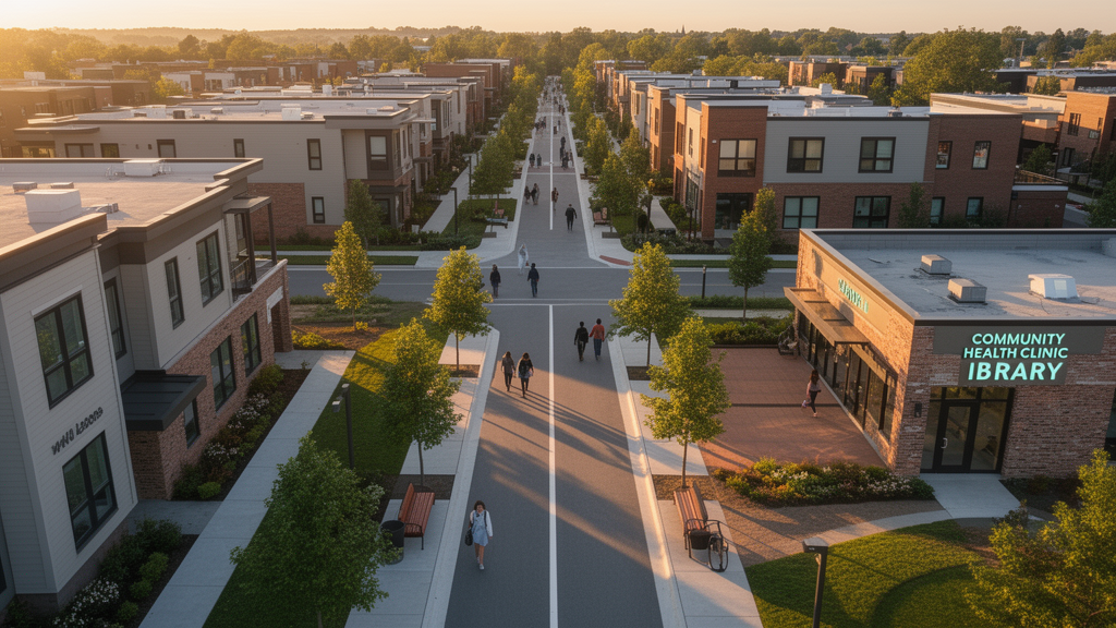
Urban planners testing a hybrid of genetic algorithms and geographic information systems report that repositioning everyday neighborhood services in a new Egyptian district could cut maximum walking distances by up to 76 percent for some facilities, with an average improvement of 15 percent across all services evaluated. The study, published in the journal Computational Urban Science, applied its optimization framework to the R3 residential district of Egypt’s new administrative capital, a 1,050-acre area whose approved master plan already included dozens of dispersed service parcels.
The research team, Mohamed ElZaghal and Mohamed Marzouk, built their work on a three-stage framework. The first stage identified which services a neighborhood actually needs, drawing on case studies of nine sustainable cities, including Barcelona, London, Paris, Berlin, Hong Kong, Singapore, and the Dubai Sustainable City, together with a review of the literature. This process produced a list of 27 essential urban services, screened against Egyptian planning regulations and Middle Eastern cultural norms; the framework, for example, requires enough nursery capacity for a population of 5,000 while excluding establishments such as casinos and bars that conflict with local cultural values. The services were organized into seven categories: transportation, administrative, education, commercial, leisure, health, and religious.
The second stage assigned relative importance to those services through the Analytic Hierarchy Process, a pairwise-comparison method that converts qualitative planning priorities into quantitative weights. Seven urban planning experts, drawn from academia, consulting firms, and government agencies, each with more than ten years of experience, completed questionnaires via interviews. Selection criteria required an academic background in urban planning, prior participation in planning projects, familiarity with sustainable neighborhoods, and experience with urban service issues. The consistency ratio of the expert judgments came out at 0.018, well within the accepted threshold of 0.1, indicating reliable weighting. Those weights feed directly into the accessibility scoring function, so the optimization reflects planning priorities rather than treating every service as equally important.
The third stage is where the computation happens, using two complementary approaches. The first applies a genetic algorithm implemented in MATLAB to a composite walkability indicator called the Street Score, developed by Sonta and colleagues in 2019. The Street Score ranges from 0 to 100, with higher values indicating better walkability, and is calculated from weighted walking distances to the nearest, second-nearest, and third-nearest services for each facility type, measured along road centerline networks rather than straight lines. The genetic algorithm generates candidate service configurations, evaluates their scores, and iteratively refines them through selection, crossover, and mutation operators. With a population of 50, a crossover fraction of 0.7, and a mutation rate of 0.05 chosen to balance exploration against premature convergence, the best-performing configuration emerged after 2,925 iterations, corresponding to the solution with the lowest effective distance values under the scoring formulation.
The second approach uses the Location-Allocation tool in ArcGIS Pro, which works differently: instead of optimizing an abstract score, it selects specific coordinate locations from a set of feasible candidate parcels and assigns residential demand points, derived from building centroids and population estimates based on average Egyptian family size, to those facilities using network distances and population capacity. Three problem types were matched to service characteristics. Minimize Weighted Impedance, the P-median formulation, was applied to services such as grocery stores, ATMs, clothing stores, and universities, where a limited number of facilities must minimize total travel distance for the population. Maximize Coverage was chosen for emergency services, bus stations, and hospitals, where equitable access within a critical distance threshold matters more than minimizing average travel. Minimize Impedance was used for widely distributed facilities such as parking and bicycle parking, where each demand point is simply assigned to its nearest facility.
Applying both methods to the R3 district revealed clear weaknesses in the original master plan. The grocery analysis is the most striking: the original design placed nine grocery services, leaving a maximum distance of 4,955 meters between some residential points and the nearest store. Optimized placement reduced that maximum to 1,840 meters, a 63 percent reduction. Pharmacy placement in the original plan concentrated facilities in higher-density areas southeast and west of the central hub, producing a maximum distance of 5,089 meters; the optimized configuration distributed pharmacies across all corners of the district and cut the maximum distance to 2,936 meters, a 42 percent reduction, with the second-furthest distance at 2,911 meters.
The mosque analysis illustrates a subtler point about what optimization means. The original design provided 12 mosques, mostly concentrated in high-density neighborhoods west of the central hub, with a maximum distance of 2,184 meters, less than half of the Egyptian guideline recommendation of 5,000 meters. The optimized placement produced a maximum distance of 5,157 meters, closely aligned with the guideline standard. The authors argue that the original’s concentrated distribution reduced the accessibility of other services, so the redistribution trades very close mosque access in some areas for a more balanced overall service distribution across the district.
Across the full comparison, of the 24 services evaluated, 20 showed distance improvements, ranging from modest reductions of 2 to 12 percent for services such as gyms and hardware stores to reductions exceeding 60 percent for nurseries, parks, and grocery stores. The nursery service achieved the largest gain, a 76 percent reduction in maximum distance, followed by parks at 64 percent and groceries at 63 percent. The study also compared estimated population coverage between the original and optimized scenarios, finding that redistribution generally increased coverage efficiency by aligning facilities with residential concentrations. Bicycle parking, gym, hardware store, dentist, and pharmacy services all showed notable increases in estimated population served, in some cases without adding facilities, while fixed-capacity services such as hospitals and churches maintained similar coverage levels.
The authors frame the contribution as filling a gap in the facility-location literature, which they say tends to emphasize single-service business site selection, transport-centric mobility optimization, or descriptive coverage measurement without an implementable workflow. Their framework instead integrates local planning regulations and service-specific distance standards, parcel feasibility within a district plan, and citizen-oriented suitability linked to residential demand, producing planning-ready service layouts rather than theoretical point solutions. The closest-facility analysis, run on a street network built from OpenStreetMap data and refined for ArcGIS Network Analysis, allowed direct comparison of optimized and existing service placements.
The study’s limitations are explicitly acknowledged. The analysis focuses on neighborhood-scale services and does not differentiate sub-categories of commercial or social services, such as grocery subtypes or personal services. It does not offer a comprehensive evaluation of critical emergency services, including ambulance, fire station, and police accessibility, which the authors note require more specialized modeling. Road hierarchy, right-of-way standards, and infrastructure quality were not fully incorporated into accessibility outcomes. The authors suggest future work could expand the service hierarchy to cluster and residential-group levels, run sensitivity analyses on the AHP weights, benchmark the genetic algorithm against alternatives such as particle swarm optimization or multi-objective evolutionary models, and explore how optimized allocation affects traffic flows, commuting behavior, and environmental performance. They also note the framework could eventually connect to a city operations center for real-time traffic adaptation across walking, transit, and driving networks. The results, the team writes, align with Egypt’s Vision 2030 goals and demonstrate how computational optimization can be embedded directly into strategic urban planning workflows for emerging cities.
Subject of Research: Optimizing neighborhood service accessibility in sustainable urban planning using genetic algorithms and GIS location-allocation
Article Title: Optimizing service accessibility using GIS-driven and genetic algorithms for sustainable neighborhoods
Article References: ElZaghal, M., & Marzouk, M. (2026). Optimizing service accessibility using GIS-driven and genetic algorithms for sustainable neighborhoods. Computational Urban Science, 6(1), Article 59. https://doi.org/10.1007/s43762-026-00294-1
Image Credits: AI Generated
DOI: 10.1007/s43762-026-00294-1
Keywords: genetic algorithms, GIS, location-allocation, urban planning, walkability, sustainable neighborhoods, Analytic Hierarchy Process, ArcGIS Pro, Egypt, service accessibility, Spatial optimization, new administrative capital
News Source: Juliet Wilcox. (October 28, 2026). Genetic Algorithms and GIS Cut Walking Distances to City Services. Scienmag.