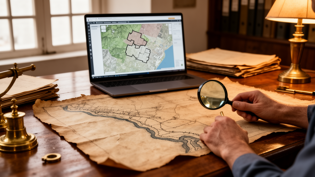
Structures unearthed on the southern bank of Lima’s Rímac River, long presented to the public as remnants of the city’s colonial defensive wall, were in fact hydraulic retaining structures known as tajamares, according to a new study published in the journal Built Heritage. Using georeferenced historical maps, drone photogrammetry and geographic information systems, researchers Diego Javier Celis-Estrada, Pablo Rodriguez-Navarro and Teresa Gil-Piqueras conclude that the riverfront never formed part of Lima’s fortified enclosure, and that the masonry exposed in the ‘Parque de la Muralla’ served to control flooding and erosion rather than to repel attackers.
The debate dates to 2003, when work between Abancay and Lampa Avenues revealed stone, brick and mortar structures along the river. Archaeologist Antonio San Cristóbal interpreted them as a riverside section of the viceregal wall built between 1684 and 1687, and a year later the city opened the ‘Parque de la Muralla’ over the remains. Municipal publications, tourism materials and a 2004 archaeological report that ‘presumed’ the remains belonged to the Colonial Wall reinforced that reading, embedding it in both specialist literature and public understanding of the historic centre, which was declared a UNESCO World Heritage Site in 1991.
The research team argues that earlier interpretations rested heavily on scenographic plans drawn by Pedro Nolasco Mere in 1685 and 1687. Those plans depict the wall as fully finished while construction was still underway, a discrepancy that led historian Guillermo Lohmann Villena to describe the 1685 version as imaginary. The 1687 version reproduces graphic conventions such as solid bastions, a continuous moat and a closed circuit without necessarily matching the built reality. Because these images prioritised symbolic representation over metric accuracy, the authors contend they cannot serve as conclusive evidence without spatial validation.
To test the hypotheses, the team first built a precise contemporary base map. A drone survey with a DJI Mavic 2 Pro covered 10.255 square kilometres of Lima’s Historic Centre at an altitude of 150 metres, producing images with a ground sampling distance of 3.74 centimetres per pixel, comfortably above the resolution required for plans at a 1:500 working scale. Photogrammetric processing in PIX4Dmapper, using structure from motion, multiview stereo and bundle block adjustment, yielded an orthomosaic georeferenced in the WGS 84 UTM Zone 18S coordinate system.
Historical maps were then brought into the same framework using exclusively first-order polynomial, or affine, transformations, which correct global deformations such as shrinkage and shearing without distorting a document’s internal geometry. Ground control points were drawn only from urban features whose stability could be verified across periods, such as active street axes and church facades, while points with high residuals were discarded. Two indicators gauged quality: the total root mean square error of the control points, and a metric equivalence error measuring the percentage deviation between a map’s original graphic scale and its scale after georeferencing. The 1859 Plan of the City of Lima proved the most metrically stable source, while Frézier’s 1713 plan, though geometrically unstable, retained value for general urban-scale comparison.
The metric comparison of the reconstructed wall layout delivered a central result. Viceroy the Duke of La Palata reported the wall exceeded 13,000 Castilian varas, equivalent to about 10,866.8 metres, and the team’s georeferenced reconstruction measured 10,683.86 metres, a close correspondence confirming both the reliability of the georeferenced maps and that the enclosure was not closed along the Rímac bank. Lohmann’s reconstruction, projected onto the modern street grid, reached 11,700 metres, while layouts proposed by San Cristóbal and Reinhard Augustín Burneo, closing the circuit toward the river, reached 12,763 metres, well beyond the viceroy’s figure.
Morphological analysis of the excavated structures pointed the same way. The riverside masonry displays triangular reinforcements at its base, which San Cristóbal had called ‘minor bastions’ but which match the stone ‘teeth’ historically built into tajamar scarps to break the current and protect foundations. The structure also shows a trapezoidal section with a basal berm, consistent with eighteenth-century tajamar descriptions, and a heterogeneous fabric combining rounded river stones, irregular stone and brick in sections of varying dimensions, evidence of successive repairs driven by the river’s erosive action. By contrast, the documented Wall of Lima is a homogeneous adobe structure bearing a cordón, a projecting torus moulding characteristic of viceregal military architecture, which is absent from the riverside remains.
Graphic and documentary records corroborate the reinterpretation. A 1944 aerial photograph shows the discovered structures coinciding with the built riverfront boundary, indicating houses settled on the crest of the stabilised tajamar. Photographs from the 1860s, taken before the wall’s demolition near the Convents of Santo Domingo and San Francisco, show buildings perched on the tajamar crest and no continuous defensive wall along the bank. Viceregal administrators reached the same conclusion centuries earlier: the Marquis of Castelfuerte stated the elevated riverbank needed no wall and ordered only a parapet, an 1807 report under Viceroy Abascal reiterated that the bank lacked a wall, and nineteenth-century travellers William Bennet Stevenson and Roberto Proctor both recorded that the wall terminated at the river rather than following it.
The authors frame the case as a caution about heritage narratives built on uncritically used images. Drawing on Stuart Hall’s account of representation and the ICOMOS Charter for Interpretation, which requires narratives to distinguish verifiable data from hypotheses, they argue that scenographic plans acquired an evidentiary status exceeding their informative capacity, allowing an interpretation to consolidate into institutional ‘heritage truth’ before systematic verification. They cite comparable episodes, including walls in Buenos Aires initially attributed to a colonial powder magazine and later refuted through interdisciplinary analysis, and note that misidentification at the park shaped valorisation strategies that neglected authentic defensive remains elsewhere in the city.
The team acknowledges limitations: manuscript maps carry deformations and scale variations, control points were constrained by the limited survival of viceregal fabric, and the interpretation of the excavated structures rests on typological and spatial analysis without absolute dating or archaeometric study, leaving conclusions open to further research. Even so, the study proposes reinterpreting Lima’s fluvial edge as a historically managed hydraulic landscape, recasting the tajamares as adaptive water-control infrastructure, and offers a transferable geospatial method for testing contested heritage interpretations in other historic cities.
Subject of Research: Geospatial reinterpretation of riverside structures in Lima as hydraulic tajamares rather than defensive walls
Article Title: Fluvial edge of viceregal Lima: historical cartography, GIS-based georeferencing and the reinterpretation of urban defensive heritage
Article References: Celis-Estrada, D. J., Rodriguez-Navarro, P., & Gil-Piqueras, T. (2026). Fluvial edge of viceregal Lima: historical cartography, GIS-based georeferencing and the reinterpretation of urban defensive heritage. Built Heritage, 10(1), Article 68. https://doi.org/10.1186/s43238-026-00307-2
Image Credits: AI Generated
DOI: 10.1186/s43238-026-00307-2
Keywords: Lima, Rímac River, tajamares, viceregal wall, historical cartography, GIS, georeferencing, photogrammetry, urban heritage, Built Heritage, Parque de la Muralla, heritage interpretation
News Source: Denise Maddox. (October 29, 2026). Research report: Fluvial edge of viceregal Lima: historical cartography, GIS-based georeferencing and the reinterpretation of urban defensive heritage. Scienmag.