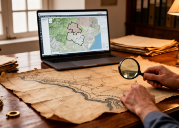
Research report: Fluvial edge of viceregal Lima: historical cartography, GIS-based georeferencing and the reinterpretation of urban defensive heritage
A GIS-based reanalysis of historical maps and excavated remains shows that structures on Lima's Rímac riverbank are hydraulic tajamares, not ...