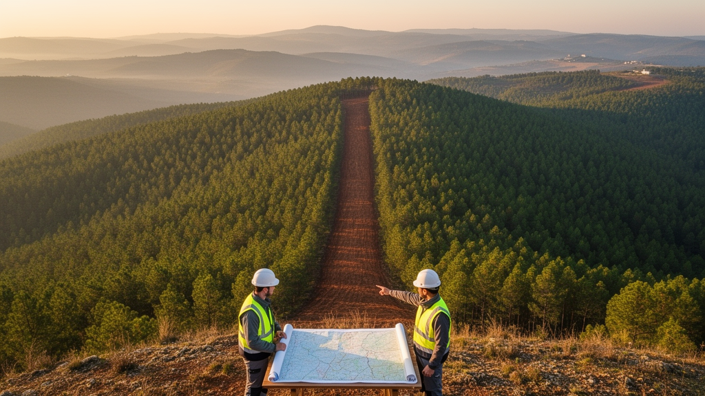
A new GIS-based land evaluation of central Portugal has identified where greenbelts could most effectively be established to contain the sprawl of urban and rural settlements while reducing the region’s severe wildfire exposure. The study, published in the journal Green Technology, Resilience, and Sustainability, covers a 28,125 square kilometre area that includes the districts of Coimbra, Castelo Branco and Leiria, along with parts of Viseu, Aveiro and Guarda, home to more than 2,283,000 inhabitants across 100 administrative municipalities and 84 city points. Rather than treating greenbelt planning as a purely administrative exercise, the researchers built a quantitative model that scores land across the region for its suitability as a protective green buffer, and then tested how those scores relate to actual fire history and to the FIRELAN plan, Portugal’s fire resilient landscape structure programme.
The central region was chosen because of its ecological fragility and fire sensitivity. Portuguese forests and shrublands cover roughly 70% of the country’s surface, and the fire-prone species that dominate the north and centre, principally maritime pine and eucalyptus, contrast with the more fire-resistant oak woodlands of the south. The study area also contains a high number of fragmented landscapes and abandoned rural settlements, which the authors describe as making it the most susceptible zone for forest wildfires in Portugal. Wildfires in this region can produce substantial emissions of carbon dioxide, nitrogen oxides and particulate matter, affecting all urban and rural settlements in what the researchers characterise as a wildland-urban interface with a high risk of human exposure.
To build the model, the team assembled ten factors: elevation, slope, soil, land covers, geological susceptibility, wildfire inventory, agricultural area, climatic data, river and road networks, and urban-rural settlement sprawl. Data sources included remotely sensed NASA Earth data, the HBASE global built-up dataset derived from Landsat imagery, the SOILGRID soil database, Portugal’s national EPIC web-GIS for ecological and land cover data, geological and hydrogeological maps at 1:500,000 scale, wildfire records from FIRELAN and the European Forest Fire Information System, and NASA’s GIOVANNI server for precipitation and temperature records spanning 1984 to 2024. The datasets were updated to cover 2013 to 2023, and the analysis was carried out on 250 by 250 metre pixel-based land units.
The variables were weighted using an analytical hierarchy process, a pairwise comparison method in which fourteen participants drawn from academic scholars and urban professionals completed a two-round questionnaire. The resulting consistency ratio of 0.082 fell below the 0.1 threshold considered acceptable, indicating coherent judgements across the ten variables. The ecology variable received the highest weight, 0.22, reflecting the ecological character of the region. Sum overlaying of the weighted layers produced a land suitability evaluation map classified into four classes: non-suitable, low, moderate and high suitability. The suitable classes for greenbelt planning totalled 18,000 square kilometres, equal to 64% of the study area, and were concentrated geographically in the middle part of the region.
From this land suitability map the researchers derived a greenbelt suitability index, calculated as the ratio of suitable land classes to the current maximum boundary of settlement heat island agglomeration. The region’s settlement sprawl has produced 44 such urban heat island agglomerations covering a total of 3,418 square kilometres, which the authors describe as the climatic footprint of the sprawled settlements. The highest greenbelt suitability index values, exceeding 0.80, appeared in the urbanised regions of Castanheira and Proença, while the lowest values, below 0.25, occurred around Fundao and Souto. Lower index values were generally found at the heat island boundaries of major cities in the western part of the study area, particularly in the Leiria and Aveiro watersheds, whereas medium to higher values, indicating stronger greenbelt potential in the present 2020 status, characterised the urbanised regions of the middle of the study area, especially the Agueda and Coimbra watersheds.
A second index, the environmental change index, was calculated by multiplying the greenbelt suitability index by projected settlement expansion ratios between 2020 and 2030, based on the HBASE dataset. The highest environmental change index values, above 0.60, appeared in both periods in the Leiria watershed, which contains the most cities, 18, and the largest population, 583,430 people, while the lowest values were found in the Covilha basin. Apart from the Leiria basin, increasing values of the index in 2030 can influence most of the populated watersheds, particularly Aveiro, Viseu and Coimbra. The authors conclude that comprehensive decisions to decrease the effects of environmental changes are very necessary in these watersheds to curb settlement expansion and reduce wildfire risks, noting that some of these susceptible watersheds, such as the Viseu basin, hold the most records of burnt areas in the wildfire inventory.
The analysis was organised around nine hydrological watersheds drawn from the topography of the region, with a mean surface area of 3,125 square kilometres. The Leiria watershed along the western offshore zone holds the most cities and population, while the Sabugal watershed in the northeastern elevated zone has the fewest, with three cities and 32,050 inhabitants. The maximum altitude lies over the Serra da Estrela Torre mountain at 2,000 metres, on the border of the Covilha and Viseu watersheds, where steep slopes carry predominantly forestry zones. Agricultural areas and woodlands occupy the lowlands near the western coast, oak vegetation dominates the eastern elevations, and pine types are scattered through the western parts. Mean annual precipitation increases from south to north, while temperature shows the reverse trend, and the most concentrated burned areas, covering 12,758 square kilometres or 45% of the total central region, lie in the middle of the study area, dominantly in the Covilha and Viseu watersheds.
The critical validation step came when the researchers correlated their indices with the FIRELAN agenda, which constitutes Portugal’s primary protection against fire through linear fuel break systems and areas efficient against fire progression. Within the 44 urban heat island agglomeration boundaries, the correlation between the greenbelt suitability index and fuel break zones was significantly positive, with a coefficient of 0.608 at a confidence level above 95%. The correlation between the wildfire inventory and the environmental change index in 2020 was significantly negative, at -0.584, which the authors interpret as revealing the controlling role of settlement sprawl in wildfire events, while the corresponding coefficient for 2030 was modified to -0.437. An ANOVA test confirmed the reliability of these correlation coefficients at significance levels below 0.1 and confidence levels above 90%. On this basis, the study concludes that the research model for greenbelt planning has sufficient correspondence to the FIRELAN agenda, with over 60% of the intended routes and buffers for fuel break zones able to be revised for greenbelt planning of the settlements.
The authors frame the results as a planning tool rather than a prescription: the model identifies where greenbelt buffers align with existing fuel break priorities and where projected settlement growth between 2020 and 2030 may heighten environmental vulnerability. They point to the shifting composition of the region’s forests as context, citing research showing that susceptible eucalyptus types increased by 34% between 1995 and 2018, replacing native maritime pine, which declined by 20%. FIRELAN itself is described as a partial greenbelt plan that attempted to reduce wildfire events by proposing low-flammability land covers along fuel break routes and buffers. The researchers suggest that similar scenarios should be studied in future work, and that optimum management at forestry and watershed scales should consider the allocation and relocation of physical forms and functions, with vegetation types planned in zones that have suitability for greenbelt planning.
By integrating multi-criteria decision analysis with GIS, the study offers a framework intended to help stakeholders visualise spatial relationships and prioritise areas for intervention such as reforestation, controlled burns and the establishment of fuel breaks. The authors argue that the approach will support the conservation of ecosystem services and enhance community resilience against land degradation in the central region of Portugal, contributing to sustainable forestry practices and improved land management. They also emphasise the importance of spatial data in fostering proactive measures that align environmental stewardship with urban development goals.
Subject of Research: GIS-based greenbelt suitability mapping to manage settlement sprawl and wildfire effects in central Portugal
Article Title: A GIS-based land evaluation for the greenbelt planning to manage the settlement sprawl and wildfire effects
Article References: Madanian, S. (2026). A GIS-based land evaluation for the greenbelt planning to manage the settlement sprawl and wildfire effects. Green Technology, Resilience, and Sustainability, 6(1), Article 11. https://doi.org/10.1007/s44173-026-00035-x
Image Credits: AI Generated
DOI: 10.1007/s44173-026-00035-x
Keywords: greenbelt planning, GIS, land suitability evaluation, central Portugal, wildfire risk, settlement sprawl, fuel break zones, FIRELAN, multi-criteria decision analysis, urban heat islands, watershed management, environmental change index
News Source: Denise Maddox. (October 28, 2026). Greenbelt Maps for Central Portugal Could Rework Over 60% of Planned Fire Fuel Breaks. Scienmag.