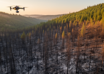
Burn severity maps miss real forest structural loss after Oregon fire
A case study of Oregon's 2020 Holiday Farm Fire found that the widely used dNBR burn-severity index captured broad fire-effect ...
A case study of Oregon's 2020 Holiday Farm Fire found that the widely used dNBR burn-severity index captured broad fire-effect ...

A new review maps how artificial intelligence is transforming mosquito identification, disease forecasting, and vector control worldwide.
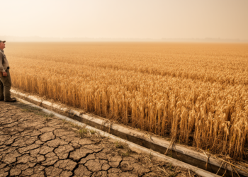
A study of China's Songhua River Basin and global cropland flux sites finds that ecosystem water use efficiency declines nonlinearly ...
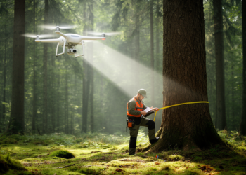
A 22-flight drone LiDAR experiment in a French poplar plantation shows tree heights are robust to almost any flight setting, ...
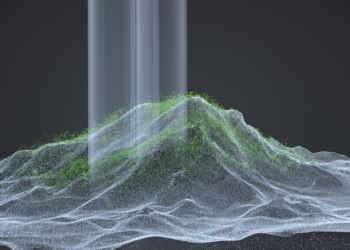
An enhanced PointNet++ with attention mechanisms and model scaling reaches up to 96.26 percent accuracy in separating ground from vegetation ...
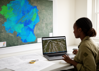
A GIS and Google Earth Engine framework classified Zimbabwe's groundwater potential nationwide and tested it against nearly 10,000 borehole records.
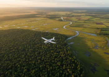
Two large-scale mapping projects used the International Vegetation Classification to produce detailed vegetation and land cover maps for the USA ...
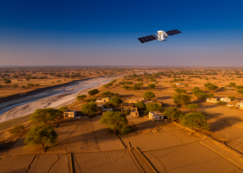
A 26-year satellite analysis of Rajasthan's Hadoti region shows annual drought composites understate monsoon-season stress and that vegetation indices add ...
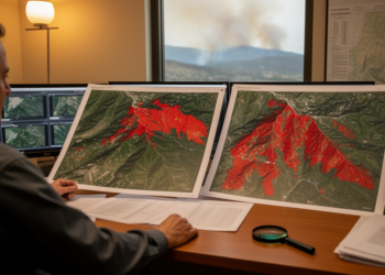
A study of two 2022 South Korean fires found that a previous-year spring baseline gave the most accurate PlanetScope wildfire ...

Measurements in and downwind of Paris show aerosols become more oxidized and optically distinct over two to six hours of ...
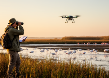
A study integrating remote sensing and ornithological surveys at Karataş Lake reveals seasonal shifts in avian diversity linked to climate ...

A new SR-YOLO-DETR framework combining an improved YOLOv11 backbone with an RT-DETR hybrid encoder raises rotating target detection accuracy on ...

A computational modeling study of 20 common North American tree species found that AI-generated images improved recognition when real training ...

Random Forest delivered the highest accuracy in a comparison of six supervised classifiers using Landsat 8 and Sentinel-2A imagery in ...
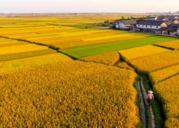
Researchers built a 30-meter-resolution maize production map of China for 2019 and 2020 by downscaling official provincial statistics with satellite-derived ...
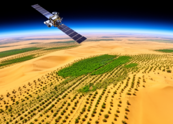
A 24-year satellite analysis shows that more than 80 percent of China's Kubuqi Desert has experienced highly significant vegetation greening, ...

An analysis of more than 3,000 cities worldwide shows that built mass grows sublinearly with population, meaning larger cities and ...
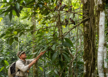
A comparative study in Peru linked six canopy types to the traits and potential vulnerabilities of 1,331 forest-dependent bird species.
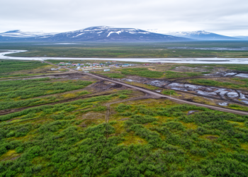
A 30-meter Landsat analysis of 2,221 Arctic human footprint areas shows that industrial disturbance drives browning that offsets climate-driven greening ...

A conditional generative adversarial network tuned by an Adaptive Jaya Algorithm generated synthetic forest images that, combined with EfficientNet-B0 feature ...