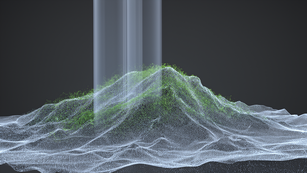
LiDAR scanners can map a mountainside in extraordinary detail, but the point clouds they return are a mixture of what surveyors actually want and what they would rather throw away. Every pulse that comes back may have bounced off bare soil, a boulder, a shrub, or the canopy of a dense forest, and the resulting file is a chaotic three-dimensional swarm of millions of points in which ground and vegetation are hopelessly entangled. Separating them — a task known as ground filtering — is the essential first step for generating digital elevation models and detecting how terrain changes over time, yet in steep, heavily vegetated landscapes it remains one of the hardest problems in point cloud processing.
A new open-access study in AI in Civil Engineering tackles that problem by rebuilding a well-known neural network architecture from the ground up. Researchers Yunchao Cao and Yudong Wang propose an enhanced version of PointNet++, a network originally designed for classifying and segmenting 3D point clouds, that adds an attention mechanism and a model scaling strategy tuned specifically for complex slope terrain. On the benchmark test sets used in the study, the improved model reached 95.48 percent overall accuracy and 91.25 percent mean intersection over union on Test Set 1, and 96.26 percent accuracy with 88.30 percent mIoU on Test Set 2, outperforming PointNet, PointNet++, PointNeXt, and ASSANet in the same comparisons.
The reason conventional approaches struggle in mountains comes down to the physics of laser scanning. Airborne LiDAR can partially penetrate vegetation, which is precisely why it is prized for topographic mapping, but the points that do reach the forest floor are sparse and unevenly distributed. In vegetated areas the point density can vastly exceed that of bare ground, because leaves and branches generate abundant returns while the terrain beneath them yields only a scattering. That spatial inhomogeneity blurs the feature distinctions between ground and non-ground points, and it punishes both traditional and learned methods alike.
Traditional filtering algorithms — the dynamic window method, progressive triangulated irregular network densification, and cloth simulation filtering among them — depend on manually defined thresholds tuned to particular terrain conditions. In rugged landscapes they frequently misclassify low vegetation as ground or fail to recover ground points hidden under dense canopy, producing either over-filtering that erases genuine terrain detail or under-filtering that leaves non-ground noise behind. Deep learning approaches inherited a different set of limitations. The original PointNet relies on global feature aggregation and lacks effective local feature extraction, while PointNet++ added local feature aggregation but carries a fixed-size receptive field that cannot adapt to the varying scales of complex terrain, contributing to high omission rates for ground points.
The new architecture attacks both weaknesses. An attention-based perceptron scaling module, built around an attention scaling multi-layer perceptron, processes raw features through max-pooling, then performs multi-scale feature capture to extract terrain context, clusters similar ground and non-ground features, and outputs weighted attention channel features that sharpen the network’s perception of slope terrain. A self-attention module is inserted after the first set abstraction block in each stage of the network, equipped with residual connections to ease gradient flow, a separable perceptron design that reduces computational cost while strengthening per-point feature extraction, and an expansion design that quadruples the output channels of the second perceptron layer to enrich feature representation.
Model scaling works in parallel. The base channel size controls network width, while the number of stacked attention-aware perceptron modules per stage controls depth, yielding a family of small, medium, large, and extra-large configurations. The researchers also scaled the receptive field by adjusting the neighborhood query radius, which grows during downsampling and shrinks during upsampling, and introduced relative position normalization — dividing relative coordinates by the query radius — after observing that unnormalized relative positions force the network to learn disproportionately large weights that weight decay then suppresses. Training used the AdamW optimizer with cross-entropy loss and label smoothing, an exponential learning rate decay schedule, and five data augmentation strategies: rotation, translation, random sampling, farthest point sampling, and point scaling.
Ablation results trace the contribution of each component. On Test Set 1, overall accuracy climbs from 87.87 percent for the baseline small model to 95.48 percent for the extra-large configuration, mIoU rises from 78.32 to 91.25 percent, and ground-point IoU increases from 77.34 to 90.32 percent. On Test Set 2, accuracy improves from 92.53 to 96.26 percent, mIoU from 77.06 to 88.30 percent, and ground-point IoU jumps dramatically from 62.65 to 81.04 percent. The baseline model, with limited feature perception and a fixed receptive field, visibly confuses ground points with low vegetation; adding the attention module in the medium configuration strengthens terrain feature perception, and scaling further in the large and extra-large models makes the network more adaptive to uneven point density, reducing omission errors for sparse ground points hidden under vegetation.
The comparative results underline the scale of the improvement. On Test Set 1, the improved algorithm’s accuracy of 95.48 percent exceeds PointNet++ by 6.82 percentage points, and its mIoU of 91.25 percent exceeds PointNet++ by 12.21 percentage points. Visual comparisons show mainstream methods blurring terrain contours and losing sparse ground points in steep, densely vegetated areas, misclassifying low shrubs as ground, while the improved algorithm retains vegetation boundaries and terrain details through multi-scale feature fusion and long-range feature correlations captured by self-attention. The authors note that even manual annotation carries substantial errors in steep terrain with extreme vegetation and building coverage, a problem the automated approach helps sidestep.
To test the method outside the benchmark, the team turned to the Three Sisters Peak in Xiangxi, China, in the hinterland of the Wuling Mountains, a region of significant topographic undulation and rich geomorphology along its slopes. The trained model automatically annotated and filtered airborne LiDAR point clouds from the area, classifying points as ground or non-ground, after preprocessing that included coordinate normalization, noise removal, and format conversion. A digital elevation model was then generated from the filtered ground points using Kriging interpolation. Against two traditional baselines, the cloth simulation filter and the progressive morphological filter, the new method’s DEM achieved a mean absolute error of 0.05 meters, better than 0.07 meters for CSF and 0.38 meters for PMF, and a root mean square error of 0.20 meters compared with 0.26 meters for CSF.
The study also leaned on careful dataset preparation. The OpenGF dataset, published by the journal of the International Society for Photogrammetry and Remote Sensing, spans 47 square kilometers across four countries with more than 500 million labeled ground and non-ground points in 160 high-precision files, covering nine terrain scene types. The researchers preprocessed and re-annotated it, applying Gaussian filtering and statistical outlier removal before manual inspection and correction. They further augmented it with data from the Three Sisters Peak, arguing that existing datasets — even OpenGF — offer limited complexity in mountainous and canyon regions. All experiments ran on a workstation with an AMD Ryzen 7 5800X processor, 64 gigabytes of RAM, and an NVIDIA GeForce RTX 3060 GPU with 12 gigabytes of VRAM under PyTorch 2.3.0, trained for 100 epochs with a 0.5-meter neighborhood search radius.
Subject of Research: An enhanced PointNet++ deep learning method for filtering ground points in complex-terrain LiDAR point clouds and generating digital elevation models
Article Title: Point cloud filtering method for slope LiDAR based on attention mechanism and model scaling of PointNet++
Article References: Cao, Y., & Wang, Y. (2026). Point cloud filtering method for slope LiDAR based on attention mechanism and model scaling of PointNet++. AI in Civil Engineering, 5(1), Article 27. https://doi.org/10.1007/s43503-026-00110-z
Image Credits: AI Generated
DOI: 10.1007/s43503-026-00110-z
Keywords: LiDAR, point cloud filtering, PointNet++, attention mechanism, model scaling, digital elevation model, ground filtering, OpenGF dataset, Three Sisters Peak, terrain change detection, deep learning, remote sensing
News Source: Denise Maddox. (October 27, 2026). Attention-Boosted PointNet++ Strips Vegetation from Mountain LiDAR to Build Sharper Terrain Maps. Scienmag.