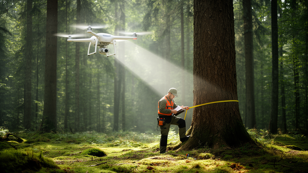
Drone-mounted LiDAR can measure the height of plantation trees reliably under almost any flight configuration, but retrieving trunk diameters from the air turns out to be far more demanding, according to a new study published in Annals of Forest Science.
The study site was a 0.23-hectare section of a poplar plantation in Ordan-Larroque, in the Occitanie region, containing 33 poplar trees planted in 2001 in regular rows spaced 7 metres apart within rows and 8 metres between rows. The trees stand on nearly flat terrain at an average elevation of 149 metres, in a temperate oceanic climate with roughly 847 millimetres of annual precipitation and a mean temperature of 13.4 degrees Celsius. The surrounding plantation holds about 240 individuals at a density of roughly 171 trees per hectare, with undergrowth periodically cleared and lower trunks pruned to ease management.
Between January 2024 and April 2025 the team flew 22 missions using a DJI Matrice 300 drone carrying a Zenmuse L1 LiDAR sensor, which emits 905-nanometre laser pulses at up to 240,000 pulses per second and records up to three returns per pulse. The sensor was paired with RTK positioning accurate to better than 5 centimetres, and 20-megapixel RGB images were captured simultaneously to build an orthophoto with a ground resolution of 1.64 centimetres per pixel. Flight altitudes ranged up to the legal maximum of 120 metres, flight-line spacing varied from 8.01 to 42.52 metres, and all missions followed a simple parallel grid pattern in the sensor’s non-repetitive scanning mode, chosen for its wide 77.2-degree vertical field of view that illuminates vertical trunk surfaces at oblique angles.
Thirteen flights took place in winter when the trees were leafless, and nine in spring when young foliage covered the canopy. Weather conditions were comparable across all flights, with clear skies and low winds, so the researchers treated meteorology as negligible. The team acknowledged an important limitation of the design: the campaign was not a fully orthogonal factorial experiment, because altitude, speed and point density are physically linked, with lower altitudes and speeds producing denser clouds. That partial confounding was carried explicitly into the interpretation of the results.
For canopy height, the findings were strikingly robust. The best flight achieved a root mean square error of 0.33 metres and a coefficient of determination of 0.99 against terrestrial LiDAR data collected a few days before the winter 2025 missions. Height estimates proved insensitive to flight speed, flight-line orientation, the number of recorded returns and the degree of overlap between flight lines, once a threshold of roughly 1,000 points per square metre was reached. Flights flown perpendicular and parallel to the planting rows yielded essentially identical height performance, with RMSE values between 0.32 and 0.35 metres and R-squared of 0.99.
Altitude and the point density tied to it were the dominant factors for height. In 2024, low-density flights at 120 metres with fewer than 700 points per square metre produced mean heights near 20 metres, mid-density flights at 90 metres gave about 20.5 metres, and flights above 1,000 points per square metre between 80 and 45 metres stabilised around 21 metres. The sparsest flights underestimated mean height by 0.5 to 1 metre relative to denser acquisitions and showed the largest variability, with standard deviations near 3.5 metres. The 2025 flights, all flown at 45 metres, produced the most homogeneous results, averaging 21.90 metres. Canopy heights measured in 2025 were about 0.90 metres higher than in 2024 and 2.50 metres higher than in 2022, consistent with the lower end of the theoretical annual height increment of poplar, 0.90 to 1.40 metres.
Trunk diameter told a very different story. Across flights, accuracy ranged from a best RMSE of 3.2 centimetres with an R-squared of 0.90 to a worst of 29 centimetres with R-squared below 0.10. The high-altitude, low-density flights produced the poorest results, while mid-to-low altitude, denser flights delivered RMSE values mostly between 4 and 7 centimetres. Point density also governed how many trees could be measured at all: only flights exceeding 1,000 points per square metre recovered all 33 trees with the spline-fitting method, and more than 500 points per square metre with the two circle-fitting methods. Below those densities, fewer than 20 points landed on each trunk slice, and the fitting algorithms, which require at least five valid points, excluded many trees through data sparsity.
Several acquisition parameters mattered for diameters in ways they did not for heights. Triple-return acquisitions outperformed dual-return flights of otherwise near-identical configuration before outlier filtering, because the third return contributes most of its points near breast height, between 1.8 and 4.2 metres, echoing earlier work finding that roughly 60 percent of trunk points come from returns beyond the first two. Flight speed correlated with an ovalisation effect in which trunk cross-sections appeared elongated along the flight direction, likely because faster motion increases the azimuthal spacing of laser pulses striking the trunk. Flight lines aligned parallel to the planting rows clearly outperformed perpendicular lines, since the 7-by-8-metre row geometry lets more pulses penetrate the canopy and reach stems when flown along the rows. Generous margins flown beyond the plot boundary proved unexpectedly valuable: one flight at 80 metres with only 1,006 points per square metre still performed well because oblique, off-nadir points from wide margins reached the trunks, and removing those external points cut its R-squared to 0.27 to 0.32.
Season and stand management also shaped diameter accuracy. Average RMSE rose from 6.3 centimetres for leaf-off winter 2024 flights with minimal undergrowth, to 8.8 centimetres for leaf-off winter 2025 flights with more developed understory, to 9.0 centimetres for leaf-on spring 2025 flights with foliage and denser vegetation. Leaves intercepted laser pulses before they reached the trunk: the uppermost slice of each tree held 46.3 percent more normalised points in April than in January, while trunk-level point density on clean trunks was 13.3 percent lower with leaves. Basal regrowth between 2024 and 2025 added confusing points near stem bases that the filtering algorithms struggled to separate from trunk returns with the consumer-grade sensor, though the denser terrestrial scanner handled the same conditions easily, achieving an RMSE of 1.7 centimetres with an R-squared of 0.96 and a slight underestimation bias of 1.4 centimetres, against a systematic overestimation in the UAV data attributed to the L1’s relatively wide beam footprint.
The authors conclude that UAV LiDAR can replace laborious field measurements for canopy height under nearly any sensible flight plan, provided altitude stays below about 60 metres above the canopy and density exceeds 1,000 points per square metre, but that reliable trunk diameters demand leaf-off conditions, low altitude, triple returns, generous plot margins and flight lines aligned with the planting rows. The practical payoff is considerable: manual circumference measurements of the whole plot took about three hours, whereas drone acquisition plus largely automated processing took roughly one hour, a gap that widens on larger areas. The team cautions, however, that the experiment covered only 33 trees in a small, sparse, regularly structured plantation under favourable conditions, so the results should not be extrapolated directly to natural forests, where denser canopies, multi-layered structure, irregular tree architecture and heavier occlusion are likely to degrade both height and diameter retrieval.
Subject of Research: How UAV flight parameters and seasonal conditions affect the accuracy of drone LiDAR measurements of tree canopy height and trunk diameter in a poplar plantation
Article Title: Impact of UAV flight parameters and acquisition context for canopy height and trunk diameter measurement using LiDAR
Article References: Battista, C., Frappart, F., Schwartz, M., & Baup, F. (2026). Impact of UAV flight parameters and acquisition context for canopy height and trunk diameter measurement using LiDAR. Annals of Forest Science, 83(1), Article 52. https://doi.org/10.1186/s13595-026-01371-5
Image Credits: AI Generated
DOI: 10.1186/s13595-026-01371-5
Keywords: UAV LiDAR, forest inventory, canopy height, trunk diameter, poplar plantation, flight altitude, point density, leaf-off conditions, remote sensing, DJI Zenmuse L1, terrestrial laser scanning, forest monitoring
News Source: Alan Morgan. (October 28, 2026). Drone LiDAR Measures Tree Heights Almost Anywhere, but Trunk Diameters Demand Precision. Scienmag.