• HOME
  • NEWS
  • EXPLORE
    • CAREER
      • Companies
      • Jobs
    • EVENTS
    • iGEM
      • News
      • Team
    • PHOTOS
    • VIDEO
    • WIKI
  • BLOG
  • COMMUNITY
    • FACEBOOK
    • INSTAGRAM
    • TWITTER
Tuesday, October 27, 2026
BIOENGINEER.ORG
No Result
View All Result
  • Login
  • HOME
  • NEWS
  • EXPLORE
    • CAREER
      • Companies
      • Jobs
        • Lecturer
        • PhD Studentship
        • Postdoc
        • Research Assistant
    • EVENTS
    • iGEM
      • News
      • Team
    • PHOTOS
    • VIDEO
    • WIKI
  • BLOG
  • COMMUNITY
    • FACEBOOK
    • INSTAGRAM
    • TWITTER
No Result
View All Result
Bioengineer.org
No Result
View All Result
Home NEWS Science News Technology

GIS and Google Earth Engine map Zimbabwe’s groundwater potential nationwide

by
October 27, 2026
in Technology
Reading Time: 2 mins read
0
GIS and Google Earth Engine map Zimbabwe's groundwater potential nationwide

GIS and Google Earth Engine map Zimbabwe's groundwater potential nationwide

Share on FacebookShare on TwitterShare on LinkedinShare on RedditShare on Telegram

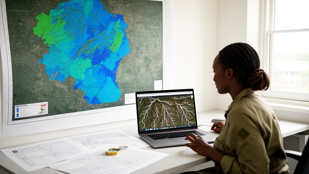
Researchers have built a national-scale framework for assessing groundwater potential in Zimbabwe, combining geographic information systems, remote sensing, the Analytical Hierarchy Process and Google Earth Engine. The study, published in Earth Science Informatics, addresses a persistent problem in data-scarce crystalline basement terrains, where reliable groundwater assessment remains difficult.

The team combined eleven conditioning factors through an AHP-weighted overlay to delineate five Groundwater Potential Zones across the country. Geology received the largest weight at 24.09 percent, followed by lineament density at 20.46 percent, rainfall at 16.76 percent and drainage density at 16.16 percent. The resulting map classified moderate potential over 46.0 percent of Zimbabwe, high and very high potential over 42.5 percent, and low and very low potential over the remaining 11.5 percent.

To evaluate the map, the researchers compared it against 9,695 geolocated boreholes from the national ZINWA database, using statistics that are robust to skew and clustering. Mean borehole yield increased monotonically across the zones, from 1.33 litres per second in the Very Low potential class to 3.96 litres per second in the Very High class. The share of high-yielding boreholes exceeding 5 litres per second rose from 2.9 percent to 9.9 percent across the same gradient, a trend significant by the Cochran–Armitage test at p < 0.001, though the significance weakened to p = 0.02 after 1 km spatial thinning of the borehole data.

Not every measure supported the zoning equally. Median yields were similar across the potential classes, and point-level agreement between the mapped zones and individual borehole yields was weak, with a Spearman correlation of 0.02 and Cohen’s kappa of 0.02. The authors interpret this pattern as consistent with fracture-controlled yields in basement aquifers, where local fracture networks can dominate productivity at individual sites regardless of the regional classification.

The study also examined storage dynamics using GRACE terrestrial water-storage anomalies and CHIRPS rainfall data for 2002 to 2016. The two showed a positive association with an R² of 0.78 and a one-to-two-month lag, which the researchers interpret as a regional storage response to rainfall. The authors position the framework as a transparent national screening tool that identifies where productive boreholes are more likely to be found, while emphasising that site-specific investigation remains essential for actual borehole siting.

Subject of Research: A national GIS and AHP-based groundwater potential assessment of Zimbabwe validated against borehole yield data

Article Title: Integrating GIS, multi-criteria decision analysis and google earth engine for national-scale groundwater potential assessment in Zimbabwe

Article References: Gumindoga, W., Chikwiramakomo, L., Chisadza, B., Rwasoka, D. T., & Muchaka, F. A. (2026). Integrating GIS, multi-criteria decision analysis and google earth engine for national-scale groundwater potential assessment in Zimbabwe. Earth Science Informatics, 19(12), Article 218. https://doi.org/10.1007/s12145-026-02270-z

Image Credits: AI Generated

DOI: 10.1007/s12145-026-02270-z

Keywords: groundwater, Zimbabwe, GIS, Google Earth Engine, Analytical Hierarchy Process, remote sensing, borehole yield, crystalline basement aquifers, GRACE, CHIRPS, groundwater potential zones, Integrating

News Source: Denise Maddox. (October 27, 2026). GIS and Google Earth Engine map Zimbabwe’s groundwater potential nationwide. Scienmag.


Tags: analytical hierarchy processborehole yieldCHIRPScrystalline basement aquifersGISGoogle Earth EngineGRACEgroundwatergroundwater potential zonesIntegratingremote sensingZimbabwe
Share12Tweet7Share2ShareShareShare1

Related Posts

What really decides whether Germans accept new railway lines

What really decides whether Germans accept new railway lines

October 27, 2026
Intermediate Acoustic Pressures Maximize Targeted Microbubble Adhesion

Intermediate Acoustic Pressures Maximize Targeted Microbubble Adhesion

October 27, 2026

Silicon–graphite composite anodes made with scalable powder process hit near 600 mAh/g

October 27, 2026

AI Reads a Single EEG Channel to Stage Sleep, With Confidence Checks Built In

October 27, 2026

POPULAR NEWS

  • Classroom redesigns, active breaks, and active lessons cut children's sitting time, review finds

    Classroom redesigns, active breaks, and active lessons cut children’s sitting time, review finds

    29 shares
    Share 12 Tweet 7
  • Can Genes and Gut Microbes Predict Who Responds to Semaglutide for Liver Disease?

    29 shares
    Share 12 Tweet 7
  • Italy’s Oldest National Park Opens Decades of Alpine Vegetation Data to the World

    29 shares
    Share 12 Tweet 7
  • Injectable aripiprazole linked to fewer hospitalizations in bipolar disorder

    29 shares
    Share 12 Tweet 7

About

We bring you the latest biotechnology news from best research centers and universities around the world. Check our website.

Follow us

Recent News

How Cold, Altitude and Training Shape Human Energy Supply

GIS and Google Earth Engine map Zimbabwe’s groundwater potential nationwide

Defect-Rich Nanozyme Microneedles Heat Tumors and Amplify Oxidative Damage in Mice

Subscribe to Blog via Email

Enter your email address to subscribe to this blog and receive notifications of new posts by email.

Join 85 other subscribers
  • Contact Us

Bioengineer.org © Copyright 2023 All Rights Reserved.

Welcome Back!

Login to your account below

Forgotten Password?

Retrieve your password

Please enter your username or email address to reset your password.

Log In
No Result
View All Result
  • Homepages
    • Home Page 1
    • Home Page 2
  • News
  • National
  • Business
  • Health
  • Lifestyle
  • Science

Bioengineer.org © Copyright 2023 All Rights Reserved.