Grassland fires can outrun the people trying to fight them, and the fuels that carry those flames change from month to month and from one plant community to the next. A new study published in Fire Ecology tackles that variability head-on for the wildland-urban interface grasslands around Boulder, Colorado, where researchers built satellite-based fuel maps at 10-meter resolution and used them to model how potential fire behavior shifts across seasons and grassland types.
The motivation is stark. Grassland fires often move faster than forest fires, and high winds can push them beyond walking speed. The 2021 Marshall Fire near Boulder spread rapidly from the foothills into urban areas under gusts of 70 to 100 miles per hour, destroying more than a thousand homes and causing roughly $2 billion in total financial losses. While topography and weather cannot be managed, fuel loads can, and the researchers argue that accurate, high-resolution predictions of grassland fuels are essential for managers trying to predict and control fire behavior near communities.
Existing tools fall short of that goal, the authors contend. The standard fuel models used in surface fire behavior software, including Anderson’s original 13 models and Scott and Burgan’s 40 standard models available through LANDFIRE at 30-meter resolution, assign average fuel loads and fuelbed depths to broad vegetation types. Anderson’s models assume fully cured herbaceous fuels, and even the dynamic models assume uniform curing rates and timing across space. That assumption overlooks a key ecological reality: cool-season C3 grasses cure from green to brown earlier than warm-season C4 grasses, so different grassland communities create a temporally shifting mosaic of flammability across a landscape.
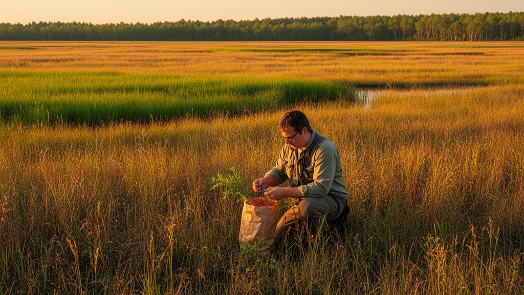
To capture that mosaic, the team combined field measurements with freely available Sentinel-2 multispectral satellite data. Over three years, from 2023 to 2025, they sampled surface fuels at 133 plots distributed across five plant community types in Boulder County: smooth brome-dominated grasslands, mixedgrass prairie, mesic tallgrass prairie, xeric tallgrass prairie, and prairie dog-dominated grasslands. At each plot, they clipped standing herbaceous biomass and collected litter from two quadrats, dried the material at 60 degrees Celsius, and weighed it, separating live and dead components by the proportion of live to dead standing cover. They also measured fuelbed height with a hand ruler.
On the modeling side, the researchers trained random forest models to predict four fuel components from satellite-derived predictors, including vegetation indices such as NDVI, the Dead Fuel Index, NDTI, SATVI, and NDII7, along with broadband spectral angle indices and individual spectral bands. The models performed best for live herbaceous load, with a coefficient of determination of 0.85, followed by fuelbed depth at 0.81, dead 1-hour fuel load at 0.76, and litter load at 0.67. Litter was the hardest component to estimate accurately, with a root mean squared error of 0.20 megagrams per hectare, and the team consistently underestimated litter loads above 0.75 megagrams per hectare, likely because thick litter layers are spectrally difficult to distinguish from soil and are often obscured by standing vegetation.
The resulting fuel maps revealed seasonal variability that standard models would miss. Between August and October, dead 1-hour fuel load accumulated more in early-senescing mixedgrass prairies on well-drained upland soils than in later-senescing tallgrass prairies, while live herbaceous load decreased in southern upland areas but remained high in the lower-elevation eastern plains, where clay-rich soils retain water longer and support tallgrass communities that stay green later into the season. The researchers note that they are not aware of other studies that have quantified sub-annual variability in dead and live grassland fuel loads in this way.
A sensitivity analysis of the fire behavior model added a practical twist. The model was most sensitive to dead 1-hour fuel load, particularly between 0.25 and 0.50 megagrams per hectare, where small changes produced relatively large effects on predicted fire behavior, and least sensitive to litter load. Fuelbed depth had the largest overall influence on rate of spread, fireline intensity, and flame length. The authors suggest that dead standing biomass and fuelbed depth are the key leverage points for fuel management in their region, and that errors in litter estimates, though common, are less detrimental to accurately predicting fire behavior than errors in other parameters.
The findings carry direct management implications. Because fuel reduction in smooth brome-dominated grasslands should be prioritized earlier in the summer, while native tallgrass prairies cure later in the season, the seasonal predictions can help managers strategically time treatments. The authors suggest that prescribed burns in mixedgrass prairies, where modeled rate of spread is lowest in the fall, may limit the risk of fire escaping, and that targeted livestock grazing offers an alternative fuel reduction tool that can be implemented earlier in the season and is less restricted by weather conditions.
The team is candid about limitations. The modeled fire behavior from the Rothermel model has not been validated against observed fire behavior from real fires in the study area, and the June and December fire behavior estimates were simulated scenarios built from August and October fuel predictions rather than direct measurements. Optical satellite estimates also carry inherent inaccuracies, and the authors suggest that combining satellite data with airborne or terrestrial LiDAR could improve estimates of vegetation structure. Still, they argue that as grassland fires increase and resources for fuel management remain limited, a remote sensing approach to grassland fuel modeling can help land managers decide where and when to prioritize fuel treatments to mitigate the risk of catastrophic wildfires.
Subject of Research: Seasonal and spatial variation in grassland fuel loads and modeled fire behavior in Colorado front-range grasslands
Article Title: Fuel load and potential fire behavior vary seasonally and across grassland plant communities
Article References: Aoyama, L., Suding, K. N., Ramachandran, A., Lee, J. T., Dennison, P., Merchant, T., & Henn, J. J. (2026). Fuel load and potential fire behavior vary seasonally and across grassland plant communities. Fire Ecology, 22(1), Article 159. https://doi.org/10.1186/s42408-026-00593-2
Image Credits: AI Generated
DOI: 10.1186/s42408-026-00593-2
Keywords: grassland fuels, remote sensing, Sentinel-2, fire behavior, wildland-urban interface, random forest, fuel maps, tallgrass prairie, mixedgrass prairie, rate of spread, fuel treatment, Colorado
News Source: Drew Townsend. (October 28, 2026). Research report: Fuel load and potential fire behavior vary seasonally and across grassland plant communities. Scienmag.