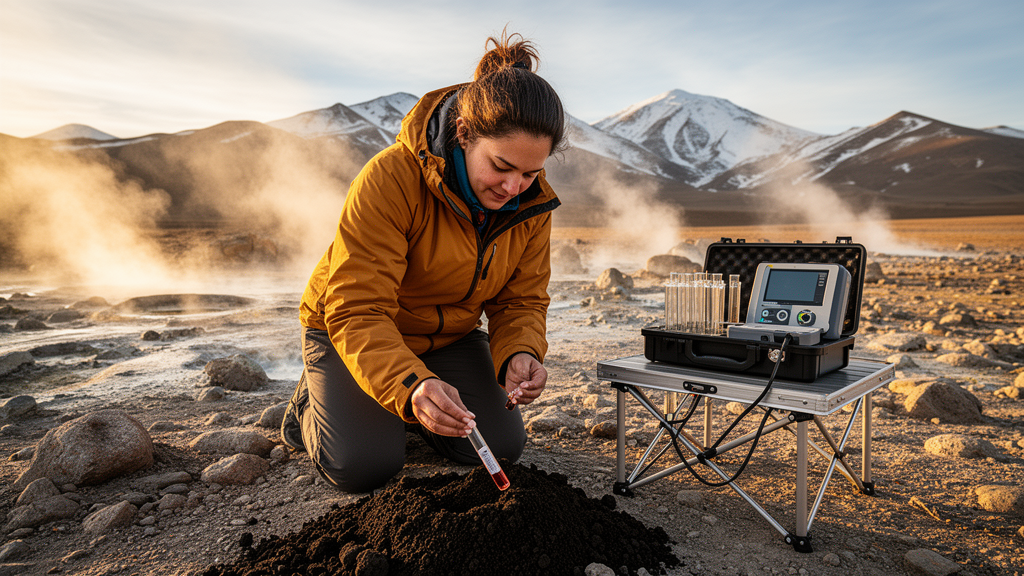
Deep beneath the grasslands of the Yangbajing geothermal field in Tibet, hot fluids rise along faults, cool, mix with groundwater and leave a chemical fingerprint in the soil above. A new study of that fingerprint shows that six trace elements measured in near-surface soils can map where geothermal fluids have traveled—and that mercury, arsenic and antimony are by far the most faithful messengers from the reservoir below.
Researchers collected 167 soil samples from an area of roughly 35 square kilometers around Yangbajing, sampling residual and slope-wash sediments at depths of 25 to 30 centimeters along twelve survey lines on a 500-meter grid. They measured mercury, arsenic, antimony, bismuth, copper and manganese, using atomic fluorescence spectrometry for mercury, arsenic and antimony, inductively coupled plasma mass spectrometry for copper, and inductively coupled plasma atomic emission spectrometry for manganese. Quality control with Chinese national reference materials showed all logarithmic deviation values below 0.011 and measured concentrations within five percent of certified values, and every detected element achieved a 100 percent reporting rate.
The results, published in the journal Geothermal Energy, reveal a stark divide among the six elements. Relative to the Upper Continental Crust baseline, mercury, arsenic, antimony and bismuth are enriched, with geometric mean concentrations running 2.193 to 9.688 times crustal values. For arsenic, antimony and bismuth, 160 of the samples exceeded crustal levels, while for mercury only 48 did. Copper, by contrast, showed marked depletion, with an enrichment factor of 0.729 and just a single sample above the crustal benchmark. Manganese sat in an ambiguous middle ground: its enrichment factor of 1.342 suggests weak enrichment, but only six samples exceeded crustal values, hinting at localized fluctuation rather than a broad geothermal signal.
To separate genuine anomalies from background noise, the team applied Anderson–Darling tests after logarithmic transformation of the data. Copper and manganese passed the log-normality test outright, but mercury, arsenic, antimony and bismuth required iterative removal of outliers by a Z-score method before their distributions conformed to log-normal patterns. Anomaly thresholds were then set as the geometric mean plus one standard deviation, and spatial anomaly maps were built with Kriging interpolation in ArcGIS. Statistical comparison of anomalous and background zones underscored the contrast: minimum values in anomaly zones ran four to seven times background levels, and the average and maximum contrast values for mercury, arsenic and antimony—10.53, 4.12 and 5.65, and 341.86, 25.46 and 163.88, respectively—were roughly five times higher than those of bismuth, copper and manganese.
The geography of the anomalies is strikingly element-specific. The study area was divided into three zones bounded by the China–Nepal Highway and the Zangbuqu River: Zone I north of the highway, Zone II between highway and river, and Zone III on the river’s right bank. Mercury anomalies are broad, with inner zones in both Zones I and II and an outer zone extending south toward the Zangbuqu River. Arsenic and antimony inner anomalies cluster in Zone II, with some extension onto the right bank, and their spatial coincidence confirms a strong coupling—their Spearman correlation coefficient reaches 0.75. Bismuth, copper and manganese show weaker, poorly zoned anomalies along the margins of the field, with manganese outer anomalies flanking both banks of the Zangbuqu River.
Those patterns map neatly onto the surface geology. Zone I hosts ground vents and fumaroles—the high-temperature, vapor-dominated heart of the system—where mercury concentrates. Zone II contains numerous hot springs with temperatures between 74.5 and 85.5 degrees Celsius, all covered by the inner arsenic and antimony anomalies, while the cooler marginal springs T02 and T06, at 48 and 51.3 degrees Celsius, fall within or along the manganese enrichment zone. Borehole logs reinforce the structural control: well ZK304 penetrates fractured quartzite below 140 meters with high vertical connectivity and a temperature profile indicating strong upflow, whereas the cemented, impermeable ZK311 favors lateral discharge. That contrast explains why mercury anomalies track fault F14 from Zone I into Zone II, while arsenic, antimony and manganese migrate sideways.
The underlying chemistry separates a vapor courier from liquid ones. Mercury is volatile and rides upward as vapor along deep faults, then becomes trapped in kaolinite-rich alteration zones in Zone I, where acidic, steam-heated conditions prevail; kaolinite adsorbs gaseous mercury physically within its layered structure and chemically through iron from coexisting pyrite, which oxidizes mercury to more reactive forms. Arsenic, antimony and manganese, far less volatile, stay in the liquid phase, cooling and mixing with shallow cold groundwater before being adsorbed or precipitated in shallow horizons. Hydrochemical data support this: deep geothermal fluids are of sodium–chloride–bicarbonate type, while surface waters are predominantly calcium–bicarbonate, a shift that signals active dilution and cooling. The strong negative correlation between mercury and manganese in anomaly zones, ρ = −0.84, captures this divergence—two elements transported and deposited under opposite conditions.
Source apportionment adds further texture. Soil mercury concentrations match those of travertine, and the mercury-to-arsenic ratio aligns with siliceous sinter and travertine, confirming a geothermal fluid origin. Soil arsenic at 17.94 micrograms per gram and antimony at 1.27 micrograms per gram exceed local rock maxima, ruling out a single rock source and pointing to deep fluids with fluid–rock interaction driving precipitation. Copper and bismuth soil concentrations closely match sulfidized and hematitized granite, tying them to local alteration minerals along the flanks of fluid pathways. Manganese remains the puzzle: its soil concentration resembles calcareous sinter and altered granite, but its distinct manganese-to-arsenic ratio suggests contributions from redox conditions and weathering, and its exact source, the authors note, requires further investigation.
Perhaps the most intriguing finding is temporal. Yangbajing was China’s first high-temperature geothermal power station, generating a cumulative 3.425 billion kilowatt-hours from its 1977 commissioning until ageing equipment forced all eight units offline by August 2021. Comparing soil anomaly maps from before and after development, the researchers found that mercury and antimony anomaly zones expanded slightly after exploitation ceased, while the arsenic anomaly zone contracted slightly. Mercury migration shifted toward fault zones near the China–Nepal Highway and extended northwestward, consistent with rising groundwater levels during the late stage of exploitation, when reduced extraction and reinjection allowed temperatures in wells ZK304 and ZK311 to rebound by 4 and 4.3 degrees Celsius and pressures to recover. Arsenic and antimony, meanwhile, migrated downward toward Zone III, a shift tracing back to the 1980s, when power plant tailwater was discharged directly into the Zangbuqu River and its dissolved elements were adsorbed by riverbed sediments.
The practical upshot is a layered geochemical toolkit. Mercury is the most sensitive indicator of high-temperature, vapor-phase upflow along deep faults; arsenic and antimony mark medium-temperature liquid-phase migration and may signal shallow reservoirs; manganese offers supplementary evidence of low-temperature peripheral discharge; and bismuth and copper reflect local alteration near fluid channels. Because these soil anomalies respond to changes in geothermal water level, discharge pathways and fluid migration conditions, the coupled six-element framework can serve not only to identify geothermal anomaly zones during exploration but also to track how fluid pathways evolve through exploitation and recovery—an increasingly valuable capability as fields like Yangbajing are monitored long after the turbines fall silent.
Subject of Research: Soil trace-element anomalies as indicators of geothermal fluid migration in the Yangbajing geothermal field, Tibet
Article Title: Soil Hg–As–Sb anomalies and associated trace elements as indicators of geothermal fluid migration
Article References: Duan, Y., Wang, W., Xing, L., Zhang, W., Wang, G., Zhao, J., Ciren, S., & Liu, Y. (2026). Soil Hg–As–Sb anomalies and associated trace elements as indicators of geothermal fluid migration. Geothermal Energy, 14(1), Article 28. https://doi.org/10.1186/s40517-026-00396-3
Image Credits: AI Generated
DOI: 10.1186/s40517-026-00396-3
Keywords: geothermal energy, Yangbajing, soil geochemistry, mercury, arsenic, antimony, trace elements, fluid migration, Tibet, fault structures, geochemical exploration, anomaly mapping
News Source: Violet Maxwell. (October 30, 2026). Soil Mercury, Arsenic and Antimony Trace Hidden Geothermal Fluids Beneath Tibet. Scienmag.