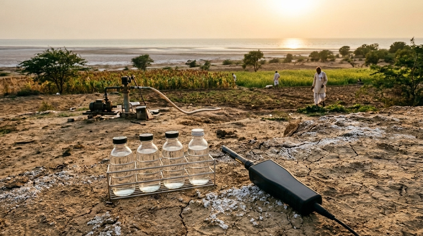
Groundwater across the coastal district of Porbandar in western Gujarat ranges from excellent to entirely unfit for drinking, according to a new hydrogeochemical survey that mapped water quality across nearly the entire district. The study, published in BMC Marine Science, found that water quality declines progressively from the hilly inland recharge zones in the north toward the southern coast on the Arabian Sea, where elevated salinity, sodium, chloride and hardness concentrate in the aquifers closest to the shoreline.
Researchers collected 81 water samples during the pre-monsoon season in May 2024, using a 5 by 5 kilometre grid that covered approximately 2,316 square kilometres between latitudes 21°36′ N and 21°50′ N. The samples came from 29 borewells, 34 dugwells, 5 hand pumps, 3 lakes, 4 supply water sources and 6 reservoirs. Well depths ranged from 13 to 80 metres below ground level in alluvial zones and from 30 to 200 metres in hard rock areas. Sixteen physicochemical parameters were analysed following APHA 2017 standard protocols, with pH, electrical conductivity and total dissolved solids measured in situ using a portable water testing kit, and ions quantified by titration, flame photometry and spectrophotometry.
The hydrochemical analysis showed that the dominant water types were sodium–chloride and mixed calcium–magnesium–chloride facies, a signature the authors interpret as reflecting salinity increase and advanced hydrochemical development in the coastal aquifers. Anion abundance followed the order chloride > sulfate > bicarbonate > carbonate > nitrate > fluoride, while cations ranked sodium > magnesium > potassium > calcium. Electrical conductivity ranged from 308 to 7,860 microsiemens per centimetre, with 88 percent of samples exceeding the desirable limit of 750 and 27 percent surpassing the permissible limit of 3,000. Total dissolved solids ranged from 153 to 3,930 milligrams per litre, with about 75 percent of samples above the desirable limit of 600 and 53 percent above the permissible limit of 1,000 milligrams per litre.
Total hardness ranged from 109.40 to 3,960.28 milligrams per litre, with 92.59 percent of samples exceeding the desirable limit of 200 and 45.68 percent beyond the permissible limit of 600. Sodium ranged from 1.79 to 5,145 milligrams per litre, with 88.89 percent of samples above the desirable limit of 50 and 61.73 percent above the permissible limit of 200. Magnesium varied between 20.74 and 865.93 milligrams per litre, with 95.06 percent of samples exceeding the desirable limit of 30 and 54.32 percent exceeding the permissible limit of 100. Chloride ranged from 17.73 to 6,097.40 milligrams per litre, with 62.96 percent of samples above the desirable limit of 250 and 12.35 percent above the permissible limit of 1,000. Nitrate stayed within the WHO 2017 permissible limit of 50 milligrams per litre, and fluoride exceeded the 1.5 milligram per litre limit at 7 of the 81 sites.
To translate these measurements into a single measure of drinking water suitability, the team computed a weighted Water Quality Index for each site. Values ranged from 19.36 to 727.76, spanning the full classification scheme from excellent to unsuitable. Roughly 48 percent of samples fell into the excellent and good categories, 36 percent were rated poor, 11 percent very poor, and 5 percent unsuitable. Supply water samples were all classified as excellent, while most borewell samples fell into the poor to unsuitable range and dugwell samples predominantly ranged from poor to very poor. The spatial map of the index showed good to excellent water in the elevated hilly zones of the north, poor water in the middle transition belt, and very poor to unsuitable water along the southern coastal belt near the Arabian Sea.
Irrigation suitability told a more nuanced story. Salinity hazard values ranged from 308 to 7,860 microsiemens per centimetre, with most samples classified as good but some falling into the doubtful and unsuitable ranges. The sodium adsorption ratio varied from 0.07 to 52.68, with most samples rated excellent to good and only a few doubtful to unsuitable. Residual sodium carbonate values ranged from −76.88 to 2.88, placing almost all samples in the excellent category. However, potential salinity ranged from 0.53 to 174.33 and the magnesium adsorption ratio from 73.99 to 97.56 percent, with 71.6 percent and 100 percent of samples respectively rated unsuitable. Kelly’s ratio, from 0.02 to 6.20, indicated that about half the samples were suitable, while the permeability index, from 3.71 to 90.05 percent, fell within the good to suitable categories. Overall, inland surface and groundwater were generally suitable for farming, whereas coastal aquifers face moderate to high salinity and sodicity risks.
Industrial suitability assessment revealed a predominantly corrosive character. The Ryznar Stability Index ranged from 5.78 to 9.57 with a mean of 7.79, placing most samples in the corrosive to heavily corrosive categories. The Puckorius Scaling Index ranged from 5.72 to 9.53 with a mean of 7.38, indicating that most samples were highly corrosive. The Langelier Saturation Index ranged from −1.24 to 1.47 with a mean of −0.10, showing that most water was undersaturated and therefore capable of corroding infrastructure. The Larson–Skold Index ranged from 0.20 to 76.81 with a mean of 4.76, and the corrosivity ratio ranged from 0.24 to 67.85 with a mean of 4.32, both indicating that most samples fall within heavy corrosive categories. The authors attribute this corrosive tendency to elevated chloride and sulfate concentrations, and note that while inland waters remain near equilibrium, coastal and low-lying areas show highly aggressive behaviour that poses risks to infrastructure and equipment.
To identify the processes controlling water chemistry, the team applied a suite of hydrogeochemical diagrams. Piper, Chadha and Durov plots confirmed the prevalence of sodium–chloride and mixed calcium–magnesium–chloride facies, with more than half of samples plotting in fields associated with marine intrusion, halite dissolution and evaporation. Gibbs diagrams placed most samples between rock weathering and evaporation dominance, with an absence of samples in the precipitation zone suggesting minimal rainfall contribution to the regional hydrogeology. Chloro-alkaline indices ranged from −3.55 to +0.96 for CAI-I and from −14.68 to +4.78 for CAI-II, with 73 percent of samples in the negative quadrant, indicating that reverse ion exchange, in which calcium and magnesium in water are replaced by sodium and potassium from aquifer minerals, predominantly governs the chemistry. Mifflin and TH–TDS plots showed chemically evolved groundwater with prolonged residence times and high ionic content.
Pearson correlation analysis reinforced these interpretations. Electrical conductivity and total dissolved solids correlated perfectly, and total dissolved solids showed strong associations with total hardness (R = 0.80), sodium (R = 0.84), magnesium (R = 0.81), chloride (R = 0.86) and sulfate (R = 0.76). The strong sodium–chloride correlation (R = 0.884) points to a dominant sodium chloride facies consistent with saline water mixing or seawater intrusion along the coastal areas. Taken together, the integrated analysis indicates that seawater intrusion, evaporation, water–rock interaction, reverse ion exchange, mineral dissolution and long residence times under semi-arid conditions mainly govern groundwater chemistry in the district.
The study has clear limitations. Sampling occurred only during the pre-monsoon season, when recharge is limited, evaporation is high and groundwater stress intensifies, so the dataset captures the most challenging hydrochemical conditions but does not reflect seasonal variation during and after the monsoon, when recharge, dilution and mixing alter water chemistry. The authors also note that advanced multivariate statistical approaches such as principal component analysis and hierarchical cluster analysis were not applied, and recommend future work incorporating seasonal sampling, isotopic techniques and advanced statistics. They emphasise the urgent need for systematic groundwater monitoring, salt management and sustainable aquifer conservation to secure long-term water availability in western Gujarat’s coastal systems, where groundwater remains the primary and often only reliable source for irrigation, industry and drinking in the hot semi-arid climate.
Subject of Research: Hydrogeochemistry and suitability of surface and groundwater in coastal Porbandar district, Gujarat, India
Article Title: Hydrogeochemistry and suitability assessment of surface and groundwater for drinking, irrigation, and corrosive potential in the Coastal District Porbandar of Gujarat, India
Article References: Chavda, P., Chaudhari, M. P., Somaiya, C., & Shrivastav, P. S. (2026). Hydrogeochemistry and suitability assessment of surface and groundwater for drinking, irrigation, and corrosive potential in the Coastal District Porbandar of Gujarat, India. BMC Marine Science, 1(1), Article 10. https://doi.org/10.1186/s44479-026-00010-3
Image Credits: AI Generated
DOI: 10.1186/s44479-026-00010-3
Keywords: groundwater, hydrogeochemistry, seawater intrusion, water quality index, salinity, Porbandar, Gujarat, irrigation suitability, corrosivity, coastal aquifers, pre-monsoon sampling, reverse ion exchange
News Source: Drew Townsend. (November 4, 2026). Coastal Gujarat groundwater study maps salinity from inland recharge to Arabian Sea coast. Scienmag.