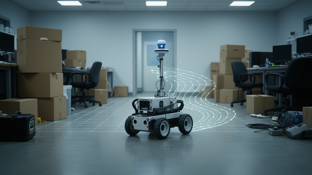
A MATLAB-based simulation framework that stitches together four classic robotics algorithms—Theta* global path planning, artificial potential field obstacle avoidance, Pure Pursuit path tracking, and LIDAR-based occupancy grid mapping—has been evaluated in a cluttered static environment, with results that are encouraging in some respects and sobering in others. The work, published open access in Discover Robotics on 12 October 2026 by Muhammad Mudassir, T. S. Arin and Jittu George Eapen, reports that nine of thirteen simulated trials reached their goals in an 11.0 m by 8.5 m workspace containing 22 static obstacles, with tight path tracking and comfortable obstacle clearances, but also that a standard A* planner matched the any-angle Theta* planner’s path lengths within one percent and that completion rates collapsed when obstacle density increased.
The framework addresses the three interacting problems that autonomous ground robots typically face: global path planning over a known map, local reactive avoidance of nearby obstacles, and path-tracking control that converts a planned route into executable velocity and steering commands. To these it adds perception and mapping through a simulated 2D LIDAR sensor whose ray-casting updates an occupancy grid, marking cells free or occupied as scans arrive. The distinguishing feature, the authors argue, is architectural rather than algorithmic: instead of modifying the potential field itself to escape local minima, as other groups have done, the framework separates local-minimum handling into an independent stall-detection-and-replanning layer built on top of an otherwise standard Theta* plus APF plus Pure Pursuit stack.
Theta* is an any-angle extension of grid search. Where A* produces paths constrained to the eight-connected grid lattice, Theta* checks whether a neighboring node has an unobstructed line of sight to the current node’s parent; if so, the neighbor’s parent is reassigned directly to that grandparent and its cost is computed as the straight-line Euclidean distance. In this implementation the planning grid has 0.08 m resolution, inflated by a 0.34 m safety buffer around every obstacle, and line-of-sight checks sample the candidate segment at 0.06 m resolution. The raw path is then smoothed by a greedy visibility pass that discards intermediate waypoints wherever a direct collision-free line exists, and densified by linear interpolation to a fixed 0.10 m waypoint spacing.
The local avoidance layer computes, for every obstacle boundary point within a 0.75 m influence radius, a repulsive contribution inversely related to distance, with a gain of 0.55 and each individual force capped at a maximum magnitude of 2.0. The net repulsion vector is converted into an angular correction and blended with the Pure Pursuit heading command using a weight that ramps smoothly from zero in open space to one as the robot approaches a 0.22 m hard-collision buffer. Notably, even at full weight the command retains fifty percent of the pure-pursuit term, so the reactive layer never fully overrides path tracking. A hard collision guard independently halts forward motion and rotates the robot toward free space if a proposed step would place it inside the buffered obstacle set. The Pure Pursuit controller itself selects the first waypoint at or beyond a 0.65 m look-ahead distance and uses a proportional heading gain of 2.8, with linear speed shaped by turning, goal-proximity and obstacle factors within a 0.18 to 1.20 m/s range.
Recovery from dead ends is handled by a stall detector: if the robot’s position changes by less than 0.03 m over 45 consecutive control steps—about 0.9 seconds at the 0.02 s simulation timestep—a stall is declared, the robot executes a short back-up-and-turn escape maneuver away from the nearest obstacle, and Theta* replans from the recovered pose. The simulated LIDAR casts 13 rays spanning a 180-degree forward field of view at 15-degree increments, with a maximum range of 2.2 m, and the occupancy grid is registered directly from the robot’s known simulated pose rather than through independent pose estimation—a deliberate limitation the authors acknowledge, distinguishing their mapping from full SLAM.
The headline results come from a second logging session of six trials, all of which reached the goal. Across those runs the robot’s traveled distance averaged 99.4 percent of the planned path length, mean cross-track deviation was 6.9 cm (range 4.9 to 8.4 cm), and mean minimum clearance was 0.288 m (range 0.231 to 0.33 m), comfortably above the 0.22 m hard-collision buffer. No stall-triggered replan occurred in any of these runs, extending the cumulative total to zero replans across all thirteen trials. The earlier first session had run seven trials of which three reached the goal and four were interrupted partway; because the logging script does not record an explicit termination reason, the authors classify those four as manually interrupted rather than algorithmic failures, and report that the true completion rate therefore lies between the conservative cumulative figure of 69 percent and 100 percent for trials allowed to run to a definitive outcome.
The ablation study is where the paper becomes most interesting. Removing the APF repulsion layer caused the most pronounced degradation: two of four trials failed outright, each accumulating roughly 100 hard-collision-guard triggers, compared with zero collisions in the corresponding full-framework runs, indicating that the reactive layer does the substantive work of keeping the robot clear while the hard guard is a last-resort safety net. Disabling the stall-and-replan mechanism changed nothing, because no run ever stalled organically—making that ablation inconclusive about the mechanism’s real-world benefit. Most strikingly, replacing Theta* with standard A* produced success on all four pairs, including a diagonal traverse on which Theta*’s any-angle shortcutting produced a path that clipped an obstacle corner closely enough to trigger the hard-collision guard and fail. On the three pairs both planners completed, planned path lengths were within one percent of each other, for example 13.480 m for Theta* versus 13.548 m for A*. The authors conclude that Theta*’s advantage in this layout of isolated convex shapes with generous spacing is marginal in path length and can even reduce robustness near obstacle corners.
Generalization tests reinforced that caution. In a sparse layout retaining every other obstacle (11 total), all four start/goal pairs completed, with the largest mean minimum clearance of the three densities at 0.333 m. In a dense layout adding 11 further obstacles (33 total), only one of four pairs reached the goal; two failures ended in repeated hard-collision-guard triggers after 97 and 143 collisions with minimum clearances of 0.132 m and 0.154 m, and the third had no feasible path at all through the inflated planning grid, which Theta* correctly reported before the robot began moving. Completion rate, in short, degrades markedly with obstacle density, and the 69 percent figure from the original map should not be extrapolated to denser environments without retuning the inflation buffer, APF gains or grid resolution.
Because zero organic stalls occurred across 25 trials, the authors ran two further experiments to probe the recovery mechanism. Adversarial narrow-corridor and chicane configurations, re-run at several gap widths down to complete infeasibility, never produced a genuine stall—Theta* and the visibility-based smoothing pass generated centered paths that the reactive layer tracked without incident, which the authors read as evidence that the zero-replan result reflects genuine robustness rather than insufficiently challenging geometry. A separate forced-trigger test, in which the stall condition was artificially fired at step 20 during an otherwise ordinary trial starting inside a dead-end pocket, confirmed the code path works: the escape maneuver backed the robot away without collision, Theta* replanned a valid route, and navigation completed in 436 total steps with one replan event and a final minimum clearance of 0.484 m.
The mapping results are similarly candid. Because the LIDAR covers only a 180-degree forward arc, the occupancy grid accumulates evidence along the corridor the robot travels rather than uniformly across the workspace; in one representative trial only 55.3 percent of the workspace’s true free cells were marked explored and 24.2 percent of the true obstacle boundary length was correctly marked occupied. The authors frame this as a locally accurate but globally partial map from a single point-to-point run, not a complete survey. They also caution against over-reading the tracking accuracy: the 6.9 cm mean cross-track error is an order of magnitude smaller than the 0.890 m RMSE reported for a LiDAR-IMU SLAM system tested in a real orchard, but the comparison is not direct, since the simulation here is noise-free with known ground-truth pose. The paper’s overall message is measured: combining an any-angle global planner with a lightweight reactive layer and stall-triggered replanning is a promising, computationally inexpensive approach for cluttered static environments, but its advantages over simpler baselines and its robustness to dense clutter appear environment-dependent rather than general. Future work, the authors say, should prioritize randomized and higher-density layouts, genuine pose estimation for full SLAM, alternatives such as the Dynamic Window Approach, moving obstacles, and validation on physical hardware.
Subject of Research: An integrated simulated navigation framework for mobile robots combining Theta* path planning, artificial potential field avoidance, Pure Pursuit tracking and LIDAR occupancy grid mapping
Article Title: Mobile robot navigation using theta star path planning artificial potential field avoidance pure pursuit tracking and LIDAR based occupancy grid mapping
Article References: Mudassir, M., Arin, T. S., & Eapen, J. G. (2026). Mobile robot navigation using theta star path planning artificial potential field avoidance pure pursuit tracking and LIDAR based occupancy grid mapping. Discover Robotics, 2(1), Article 33. https://doi.org/10.1007/s44430-026-00046-0
Image Credits: AI Generated
DOI: 10.1007/s44430-026-00046-0
Keywords: mobile robots, path planning, Theta*, artificial potential field, Pure Pursuit, LIDAR, occupancy grid mapping, obstacle avoidance, simulation, autonomous navigation, A* algorithm, stall recovery
News Source: Denise Maddox. (October 28, 2026). Simulated Robot Navigates Cluttered Space with Theta* Planning and LIDAR Mapping. Scienmag.