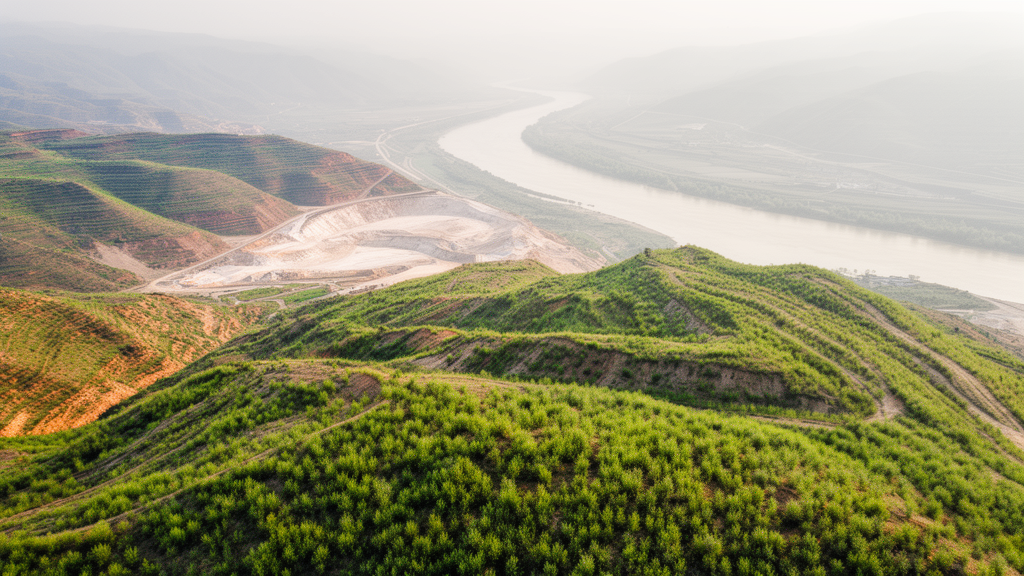
Vegetation across surface mining patches in China’s Yellow River Basin has improved overall over the past decade, even as large areas continue to be disturbed and then recover, according to a new time-series analysis published in GeoEnergy Communications. The study, led by Guobin Wang, Wu Xiao, Wenkai Zhang and Jiwang Guo, tracked vegetation dynamics from 2013 to 2024 using the Normalized Difference Vegetation Index, or NDVI, derived from Landsat 8 imagery and processed on the Google Earth Engine cloud platform.
The researchers identified 7,738 individual surface mining patches within the basin, covering a total area of 4,099.61 square kilometres, with a mean patch area of 0.53 square kilometres and a total perimeter of 17,986.15 kilometres. Inner Mongolia dominated the basin on every measure of mining extent, with 2,655 patches covering 1,990.28 square kilometres. Shanxi had the second largest number of patches, but its total area was less than 40 percent of Inner Mongolia’s, indicating lower mining intensity per patch. Ningxia stood out for its concentrated, large-scale mining pattern, with the highest mean patch area in the basin at 0.99 square kilometres, while Henan and Shandong showed the smallest and most fragmented patches.
To quantify long-term trends, the team fitted a linear regression of NDVI against time for each mining patch and then synthesized the results across patches using a random-effects meta-analysis, which better accommodates heterogeneity between patches than a fixed-effects model. At the pixel scale, they applied the LandTrendr algorithm, a change-detection method originally designed for Landsat data that locates spectral vertices in a time series, removes low-magnitude turning points, and selects the optimal piecewise trajectory based on goodness-of-fit criteria. The analysis was restricted to the June-to-August growing season, when vegetation in the basin reaches peak growth, and images with cloud cover greater than 30 percent were excluded, leaving 2,077 scenes for analysis.
The headline result is a broad but uneven greening. Across the basin, 56.78 percent of mining patches showed vegetation improvement over the study period, and the fitted NDVI for the entire basin rose from 0.26 to 0.27, a relative increase of 3.78 percent. Henan recorded the largest provincial increase, with 80.04 percent of its mining patches improving and a growth rate of 19.60 percent. Gansu and Ningxia, despite starting from low fitted NDVI values of 0.162 and 0.104 in 2013, achieved increases of 10.13 percent and 9.01 percent respectively, with 71.09 percent and 62.39 percent of their patches improving. Shaanxi and Inner Mongolia showed moderate increases of 5.93 percent and 3.94 percent.
Not every province shared in the improvement. Shanxi showed a declining trend, with fitted NDVI falling from 0.384 to 0.372, a reduction of 3.01 percent, and only 46.1 percent of its patches improving. Shandong experienced an overall NDVI decrease of 3.33 percent, although the authors note that this trend was not statistically significant, with 45.81 percent of its patches improving. The study’s authors caution in the discussion that improvements in NDVI do not necessarily indicate a full recovery of ecological functions, and that assessing regional ecological functioning requires integrating vegetation information with other natural and socio-economic factors.
The LandTrendr analysis revealed that stable mining areas accounted for the largest share of the basin, 59.31 percent, meaning no disturbance or recovery vertex was detected during the study period. Areas that experienced disturbance without subsequent recovery covered 11.65 percent, while areas showing recovery alone represented 4.25 percent. The largest dynamic category was the co-occurrence of disturbance and recovery, covering 24.79 percent of the mining area, which exceeded the sum of disturbance-only and recovery-only areas. This co-occurring pattern was markedly more prevalent upstream: in Qinghai, Gansu and Ningxia, disturbance-recovery areas ranged from 26.76 percent to 37.58 percent, whereas midstream and downstream regions showed lower values of 21.8 percent to 25.6 percent. Gansu had the highest provincial share of disturbance-recovery area at 37.58 percent, with stable areas accounting for only 43.43 percent of its mining area.
The interannual trajectory tells a striking story of shifting mining intensity. The total annual newly disturbed area peaked at 236.81 square kilometres in 2018, when it accounted for 5.78 percent of the mining area, and then declined sharply, approaching nearly zero by 2023. In contrast, annual newly recovered areas increased over time, rising rapidly from 2014 to 2017 and then fluctuating between 2 percent and 5.2 percent until reaching a second peak of 213.15 square kilometres, or 5.2 percent, in 2022, with 2023 remaining at a relatively high level. The proportion of stable areas in any given year stayed above 90 percent throughout, dipping from 97.08 percent in 2014 to 91.00 percent in 2018 before recovering to 95.31 percent by 2023.
Provincial trajectories showed pronounced spatial heterogeneity around this basin-wide pattern. Gansu displayed the most extreme swings, with newly disturbed areas reaching 14.31 percent of its mining area in 2018, well above the basin-wide average, and newly recovered areas hitting 25.89 percent in 2023, also substantially above the overall level. Ningxia showed similar temporal variability, with newly disturbed areas peaking at 10.74 percent in 2017 followed by notable recovery in subsequent years. Shandong presented a potential tension between disturbance and recovery, with newly recovered areas reaching 16.49 percent in 2019 and newly disturbed areas rising to 15.46 percent in 2020. Qinghai consistently showed low levels of newly disturbed areas with steadily increasing recovery, while Inner Mongolia, Shaanxi, Shanxi and Henan displayed relatively moderate and stable fluctuations in both directions.
The accuracy of the classification was assessed through stratified random sampling proportional to the areal share of mining areas across provinces, with 300 sample points validated by visual interpretation of high-resolution imagery in Google Earth. User’s accuracy and producer’s accuracy for both stable and changed classes exceeded 84 percent, with an overall accuracy of 86.33 percent and a Kappa coefficient of 0.73, indicating substantial agreement and performance well above random classification. The authors acknowledge limitations, however: the basin’s large extent and the dispersed, heterogeneous distribution of mining patches made constructing a representative and verifiable year-level reference dataset challenging, since some sample points fell where high-resolution imagery was temporally discontinuous or of insufficient quality. They note that the change years identified are primarily used to analyze long-term trends and regional contrasts, and that future work will integrate higher-resolution data and independent mining and restoration records for more refined temporal validation.
The study’s context matters for interpreting the findings. The Yellow River Basin is one of China’s major mineral development regions, with proven coal reserves accounting for approximately 46.5 percent of the national total, mainly across nine coal bases in Shaanxi, Shanxi and Inner Mongolia, and rare earth resources constituting about 97.9 percent of China’s reserves. Surface mining has triggered vegetation loss, intensified soil erosion, landslides, ground collapse and pollution including fugitive dust, waste-rock accumulation and acid mine drainage. In 2019, China elevated ecological protection and high-quality development of the basin to a national strategic priority, and the study period spans both before and after that launch. The authors conclude that the overall improvement in vegetation conditions is accompanied by pronounced spatial heterogeneity, and they argue that the findings highlight the need to sustain restoration efforts while implementing region-specific management strategies rather than a uniform approach, suggesting that provinces such as Gansu and Ningxia should consolidate existing restoration achievements and shift from superficial revegetation toward improving ecosystem stability, whereas provinces such as Shanxi and Shandong require stricter post-mining restoration constraints, higher reclamation standards and strengthened monitoring.
Subject of Research: Time-series satellite monitoring of vegetation disturbance and recovery over surface mining patches in the Yellow River Basin from 2013 to 2024
Article Title: Time-series monitoring of vegetation disturbance and recovery over surface mining patches in the Yellow River Basin
Article References: Wang, G., Xiao, W., Zhang, W., & Guo, J. (2026). Time-series monitoring of vegetation disturbance and recovery over surface mining patches in the Yellow River Basin. GeoEnergy Communications, 2(1), Article 5. https://doi.org/10.1007/s44421-026-00018-5
Image Credits: AI Generated
DOI: 10.1007/s44421-026-00018-5
Keywords: Yellow River Basin, surface mining, NDVI, vegetation recovery, LandTrendr, remote sensing, Google Earth Engine, Landsat 8, ecological restoration, disturbance detection, China, patch-scale analysis
News Source: Violet Maxwell. (October 28, 2026). Vegetation recovers across Yellow River Basin mining patches as new disturbance fades. Scienmag.