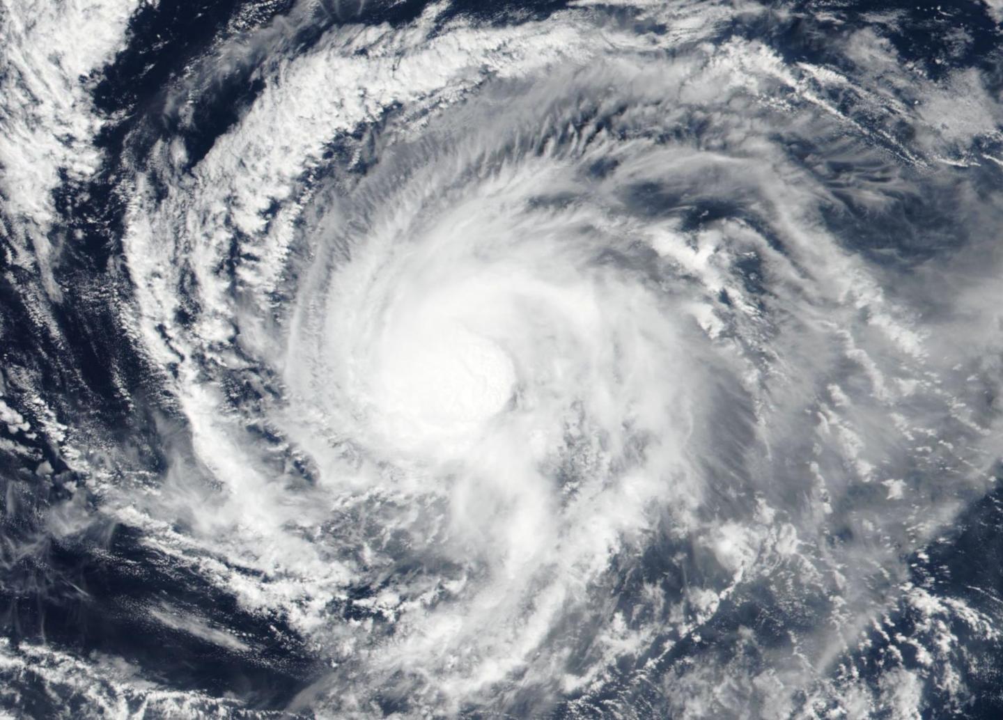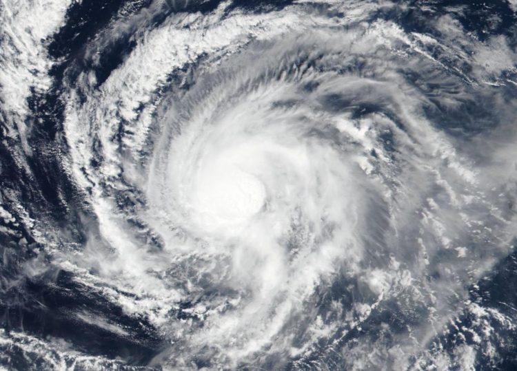
Credit: Credit: NASA Worldview, Earth Observing System Data and Information System (EOSDIS)
Hurricane Kiko weakened to a tropical storm, but imagery from NASA-NOAA’s Suomi NPP satellite showed that the storm has maintained strength in the circular area of powerful storms around the low-level center.
The Visible Infrared Imaging Radiometer Suite (VIIRS) instrument aboard Suomi NPP provided a visible image of Kiko on Sept. 17 revealed that powerful storms circled the low-level center. The image showed strong bands of thunderstorms located over the northern and western quadrants of the storm.
Hurricanes are the most powerful weather event on Earth. NASA’s expertise in space and scientific exploration contributes to essential services provided to the American people by other federal agencies, such as hurricane weather forecasting.
NOAA’s National Hurricane Center or NHC said, “At 11 a.m. EDT (1500 UTC) on Sept. 18, the center of Tropical Storm Kiko was located near latitude 16.0 degrees north and longitude 126.7 degrees west.” That is 1,190 miles (1,920 km) west-southwest of the southernmost tip of Baja California, Mexico.
Kiko is moving toward the west-southwest near 6 mph (9 kph). A westward track is likely later today, followed by a west-northwest motion on Thursday and Friday, and a westward motion on Saturday. Maximum sustained winds are near 60 mph (95 kph) with higher gusts. The estimated minimum central pressure is 1001 millibars. NHC said, “Kiko appears to be stronger this morning with very deep convection near the center, although the cloud pattern is somewhat distorted.”
NHC indicated that Kiko could become a hurricane again on Friday or Saturday [Sept. 20 or 21].
###
For updated forecasts. visit: http://www.
By Rob Gutro
NASA’s Goddard Space Flight Center
Media Contact
Rob Gutro
[email protected]
Original Source
https:/


