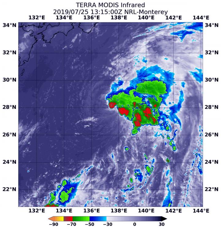
Credit: Credit: NASA Worldview, Earth Observing System Data and Information System (EOSDIS)
NASA-NOAA’s Suomi NPP satellite passed over the Northwestern Pacific Ocean and captured an image of Typhoon Wutip that revealed its eye was clouding over.
Wutip weakened rapidly from a super typhoon to a typhoon on February 26 after running into wind shear. Early on Feb 26, the Visible Infrared Imaging Radiometer Suite (VIIRS) instrument aboard NASA-NOAA’s Suomi NPP satellite showed the effects of that weakening in a visible image. The VIIRS image also showed that the once visible 25 nautical-mile wide eye had become cloud-filled as the storm weakened.
The Joint Typhoon Warning Center noted the storm is weakening because northerly winds or vertical wind shear is pushing the clouds and stretching the storm. Noted. Whenever a storm is no longer circular and elongates, it is a sign of weakening.
At 10 a.m. EDT (1500 UTC) the Joint Typhoon Warning Center or JTWC noted that Wutip’s maximum sustained winds dropped to 105 knots (121 mph/194 kph). By this time, the eye was no longer visible on satellite imagery.
Wutip’s center was located near 15.5 degrees north latitude and 132.1 east longitude, that’s approximately 313 nautical miles west-northwest of Guam. Wutip is moving to the north-northwest.
The wind shear that’s affecting the storm is forecast to increase as Wutip moves into cooler sea surface temperatures, which will enhance weakening of the system. Wutip is forecast to weaken to a depression by February 28 or March 1.
###
Media Contact
Rob Gutro
[email protected]
Original Source
https:/


