Credit: Credit: NASA Worldview, Earth Observing System Data and Information System (EOSDIS)
Tropical Depression 02W has organized and strengthened into a tropical storm.
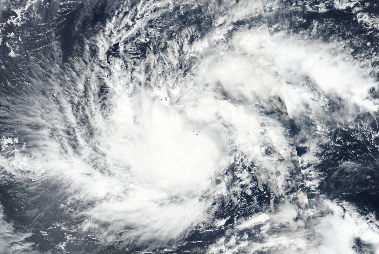
NASA-NOAA’s Suomi NPP satellite captured a visible image of the storm that showed bands of thunderstorms wrapping into a more organized center of circulation. 02W has been renamed Wutip.
On Feb. 20, the Visible Infrared Imaging Radiometer Suite (VIIRS) instrument aboard NASA-NOAA’s Suomi NPP satellite provided a visible image of Tropical Cyclone Wutip. VIIRS revealed that bands of thunderstorms were wrapping into the low-level center of circulation.
The National Weather Service in Tiyan, Guam noted that a Typhoon Warning remains in effect for Satawal in Yap State and for Puluwat in Chuuk State. A Tropical Storm Warning remains in effect for Fananu, Ulul, Lukunor, Losap and Chuuk in Chuuk State.
A Typhoon Watch remains in effect for Faraulep in Yap State. Residents of the Marianas should carefully monitor the progress of Tropical Storm Wutip.
At 10 a.m. EDT (1500 UTC) on Feb. 20 (1 a.m. CHST on Feb. 21) the center of Tropical Storm Wutip was located near Latitude 5.5 degrees North and Longitude 152.0 degrees East. Wutip is moving west at 13 mph. It is expected to make a slight turn toward the west-northwest with little change in forward speed over the next 24 hours. Maximum sustained winds have increased to 65 mph. Tropical storm force winds extend outward from the center up to 185 miles to the southwest and up to 150 miles elsewhere.
Wutip is forecast to intensify through Saturday possibly becoming a typhoon later today.
Wutip is forecast to pass southwest of Chuuk and Fananu and move toward Guam.
###
For updated forecasts, visit: https:/
Media Contact
Rob Gutro
[email protected]
Original Source
https:/


