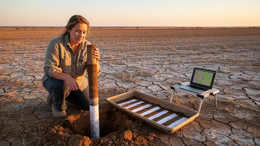
A new study in Scientific Reports presents a depth-resolved digital soil mapping framework that predicts soil electrical conductivity (EC), a standard proxy for salinity, at five standard intervals extending from the surface down to 125 centimeters in Shandong Province, eastern China. Crucially, the approach also quantifies how confident each prediction should be, producing uncertainty estimates alongside the salinity values themselves. The researchers drew on 617 soil profiles, harmonizing the continuous field observations into standard depth layers using equal-area quadratic spline functions.
Environmental covariates were compiled at a 30-meter spatial resolution, capturing spectral salinity signatures, vegetation condition, climate, and terrain attributes. Because many of these predictors carry overlapping information, the team applied principal component analysis to reduce multicollinearity before feeding the data into Quantile Regression Forest (QRF) models, a machine learning method that estimates not just a single predicted value but an entire distribution—here used to derive 90% prediction intervals for EC at each depth. Model accuracy was assessed with repeated 10-fold cross-validation.
The results reveal a clear pattern: predictive performance declines steadily with depth. The coefficient of determination fell from 0.79 in the 0–25 cm layer to 0.51 in the 100–125 cm layer, while the root mean square error rose from 0.142 to 0.295 dS m⁻¹. In other words, the model explains nearly four-fifths of the variance in surface salinity but only about half at the deepest interval, and its typical error roughly doubles over the same span.
The drivers of the predictions also shift with depth. Near the surface, salinity-sensitive spectral indices—including SSIB, CSI, and SC—dominated the model’s variable importance, reflecting the fact that salt-affected soils leave detectable fingerprints in satellite reflectance data. Below 50 centimeters, however, the influence of these spectral variables weakened, and topographic wetness index, valley depth, relative slope position, and climatic variables became increasingly important.
This suggests a transition from spectral controls at the surface to hydro-topographic and climatic regulation deeper in the profile. Geographically, the highest EC values were generally predicted in the eastern and southeastern parts of Shandong, while prediction uncertainty was most pronounced in the western and central transitional zones of the province.
That spatial separation of high salinity and high uncertainty is practically significant: it tells land managers not only where salt stress is likely to be severe, but also where the maps themselves should be treated with caution. The 90% prediction intervals produced by the QRF models make this caution explicit, attaching a quantified range to every predicted EC value rather than a single, potentially overconfident number.
The choice of quantile regression forests matters for how the maps should be read. Unlike conventional regression approaches that output one central estimate, QRF models the conditional distribution of EC, allowing the researchers to report both the prediction and the interval around it. Combined with the equal-area quadratic spline harmonization, which converts profile observations into consistent standard layers, the framework produces comparable predictions across all five depth intervals.
The study’s scope is a single province, and its accuracy figures come from cross-validation rather than independent field verification, so performance in other regions or under different sampling densities remains to be established. The depth-related decline in accuracy also means deeper predictions rest on a narrower evidential base than surface ones.
By pairing depth-specific environmental information with probabilistic machine learning, the study demonstrates that uncertainty-aware, spatially explicit salinity maps are achievable across the soil profile rather than only at the surface. Such maps could support more targeted monitoring and site-specific land management, provided users respect the quantified confidence limits that accompany each prediction.
Subject of Research: Depth-resolved digital mapping of soil salinity and prediction uncertainty using quantile regression forests
Article Title: Mapping soil salinity and prediction uncertainty across different depths using quantile regression forests
Article References: Zhang, H., Han, D., & Wang, X. (2026). Mapping soil salinity and prediction uncertainty across different depths using quantile regression forests. Scientific Reports. https://doi.org/10.1038/s41598-026-77408-6
Image Credits: AI Generated
DOI: 10.1038/s41598-026-77408-6
Keywords: soil salinity, digital soil mapping, quantile regression forests, electrical conductivity, prediction uncertainty, Shandong Province, machine learning, spectral indices, soil depth, cross-validation, environmental covariates, land management
News Source: Teresa Odom. (October 27, 2026). Machine Learning Maps Soil Salinity at Depth—and Shows Where Predictions Falter. Scienmag.