Building Information Models have become the standard digital backbone of construction and facility management, yet most as-built BIM reconstructions still look disappointingly plain. According to a new study published in Multimedia Tools and Applications, models rebuilt from real-world scans typically appear as bare geometric surfaces or rely on artificially assigned textures, an absence of real-world appearance that limits visual interpretability, reduces immersion in digital environments and restricts downstream tasks that depend on surface texture, such as defect detection and facility inspection. The paper, authored by Yuyang Jin, Siyi Li, Lihui Huang, Nanying Liang and Yiyu Cai, introduces a framework called GSBIM that fuses laser-scanned point clouds, industry-standard BIM geometry and a rapidly maturing 3D rendering technique known as Gaussian Splatting into a single photorealistic, metrically consistent model.
The core problem the researchers identify is one of disconnected pipelines. Existing image-to-BIM texture mapping methods often depend on image feature registration or manual alignment and can be affected by occlusions, the authors write. Meanwhile, Gaussian Splatting provides photorealistic view synthesis, but standard image-driven pipelines usually rely on Structure-from-Motion and produce standalone Gaussian representations that are not inherently constrained to the shared LiDAR and BIM metric frame. In other words, the visually striking renders produced by Gaussian Splatting have historically lived in their own coordinate universe, detached from the precisely measured BIM geometry that engineers and facility managers actually use. GSBIM addresses this by integrating IFC-based as-built BIM, point-cloud-derived IFC texture maps and geometry-constrained LiDAR Gaussian Splatting in a shared coordinate system, so that rendered output is anchored to the same metric frame as the underlying building model.
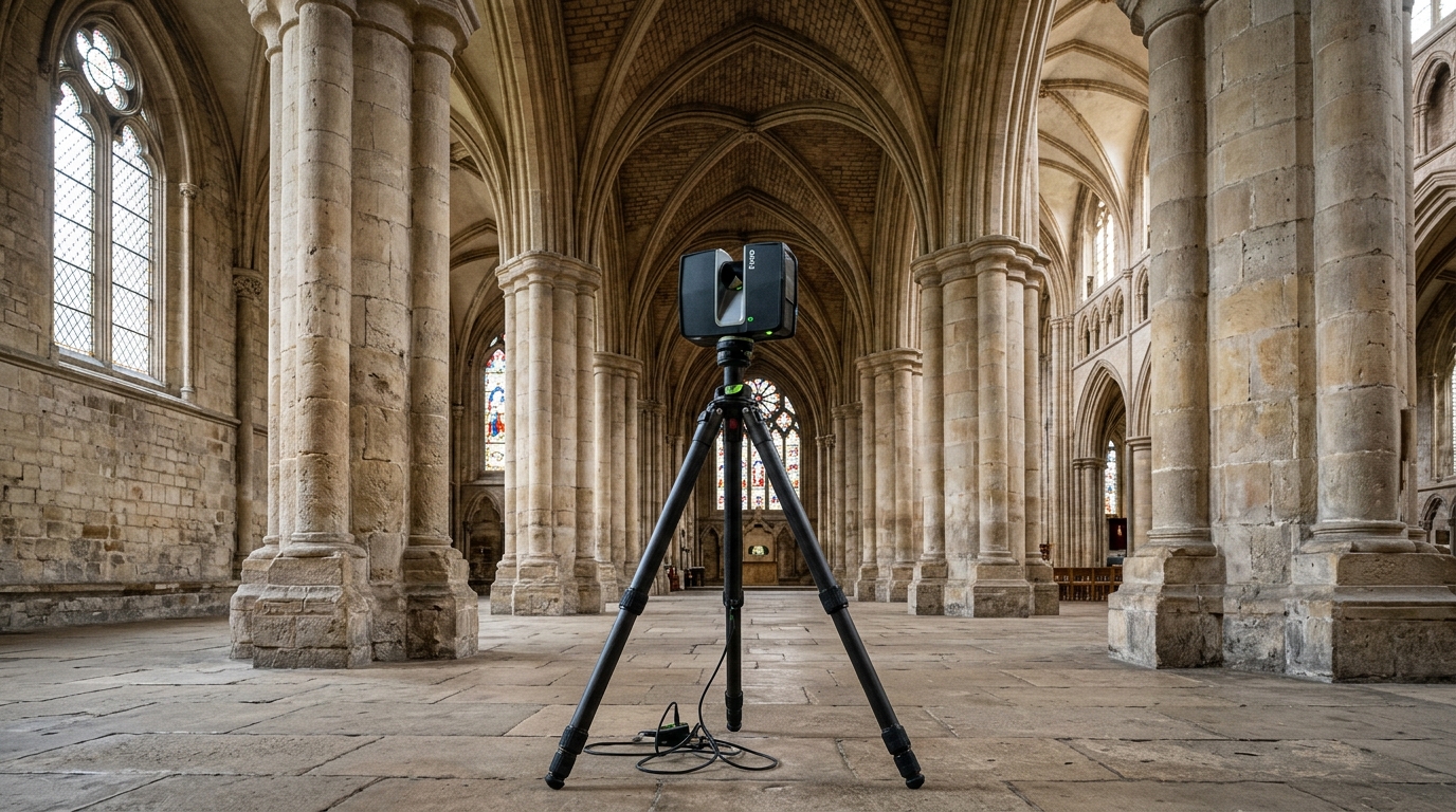
A key innovation lies in how the framework acquires its training views. Perspective training views and camera poses are derived from registered scanner panoramas and scan poses, avoiding manual alignment between images, point clouds and BIM geometry. The system leverages the poses already captured by terrestrial laser scanners rather than asking technicians to register photographs to meshes by hand, sidestepping a known weakness of Structure-from-Motion pipelines.
Training Gaussians directly from LiDAR data brings its own challenges, and the team developed two targeted mechanisms to address them. A BIM-guided seed-growing point filter and a LiDAR-supported density-control strategy are introduced to reduce floating artifacts and maintain geometric consistency, while retaining connected scene objects that are important for photorealistic rendering. Floating artifacts, stray Gaussian blobs that hover in empty space and mar renders, are a persistent nuisance in radiance-field methods. By using the BIM geometry itself as a scaffold for deciding which points deserve to seed Gaussians, and by letting the LiDAR data govern where density is increased or pruned, the framework keeps the rendered scene faithful to the measured environment without sacrificing the connected objects that make a room recognisable.
The texture reconstruction stage proceeds element by element. Element-level texture maps are first designed according to IFC surface geometry; colored point clouds are then projected onto IFC surfaces, occlusions are removed through calibrated surface-proximity filtering, and the generated texture maps are embedded using IFC texture entities. This last step matters for interoperability: by embedding textures through standard IFC texture entities rather than as loose image files, the framework preserves explicit texture–geometry associations inside the BIM file itself, so the photorealistic appearance travels with the model rather than living in a separate rendering package.
The experimental evidence spans nine indoor scenes drawn from self-acquired laser scans and from two widely used academic datasets, ScanNet++ and S3DIS. For scenes with RGB imagery, GSBIM improves the average test PSNR from 23.05 dB to 28.73 dB and reduces LPIPS from 0.3247 to 0.1947 compared with standard 3DGS. PSNR, or peak signal-to-noise ratio, measures how closely rendered views match ground-truth photographs, while LPIPS captures perceptual difference as judged by learned feature comparisons; gains on both metrics indicate renders that are more faithful and more visually plausible.
Geometric quality was assessed separately from visual quality. Based on nearest-neighbour distance and Gaussian Outlier Ratio, the optimized Gaussians achieve the lowest floating-artifact levels and highest geometric consistency relative to filtered LiDAR references. These metrics quantify how far the trained Gaussian distribution strays from the cleaned point cloud that the scanner actually measured, providing an objective check that photorealism has not been purchased at the cost of geometric distortion.
Placement accuracy was verified with physical markers. Marker-based evaluation reports a mean point-cloud-to-BIM texture centre error of 1.53 cm across nine scenes, demonstrating centimetre-level texture placement accuracy. For facility inspection workflows, where a defect spotted in a render must be locatable on the real wall, this figure indicates that textures are not merely visually appealing but correctly positioned. On the performance side, CUDA acceleration achieves an average 7.38× speed-up for texture mapping, a substantial practical gain for pipelines that must process entire buildings.
The authors conclude that these results demonstrate GSBIM can generate photorealistic as-built BIM visualizations while preserving explicit IFC texture–geometry associations and LiDAR-supported geometric consistency. Limitations remain inherent to the evaluation: the reported experiments cover nine indoor scenes, and the framework’s performance on large, complex or cluttered exteriors has not been established in the published results. Nevertheless, by unifying scanner panoramas, point clouds and BIM geometry in one metric frame, the study offers a concrete recipe for turning the plain grey models of today’s as-built workflows into vivid, measurable and interoperable representations of the built environment.
Subject of Research: An automated framework integrating LiDAR point clouds, IFC-based BIM and Gaussian Splatting for photorealistic as-built building model reconstruction.
Article Title: GSBIM: automated photorealistic as-built BIM reconstruction from point clouds via gaussian splatting
Article References: Jin, Y., Li, S., Huang, L., Liang, N., & Cai, Y. (2026). GSBIM: automated photorealistic as-built BIM reconstruction from point clouds via gaussian splatting. Multimedia Tools and Applications, 85(11), Article 834. https://doi.org/10.1007/s11042-026-21989-x
Image Credits: AI Generated
DOI: 10.1007/s11042-026-21989-x
Keywords: Gaussian Splatting, BIM, point clouds, LiDAR, IFC, texture mapping, digital twins, photorealistic rendering, ScanNet++, S3DIS, facility inspection, 3D reconstruction
News Source: Denise Maddox. (November 5, 2026). GSBIM turns laser scans into photorealistic building models with centimetre-level textures. Scienmag.