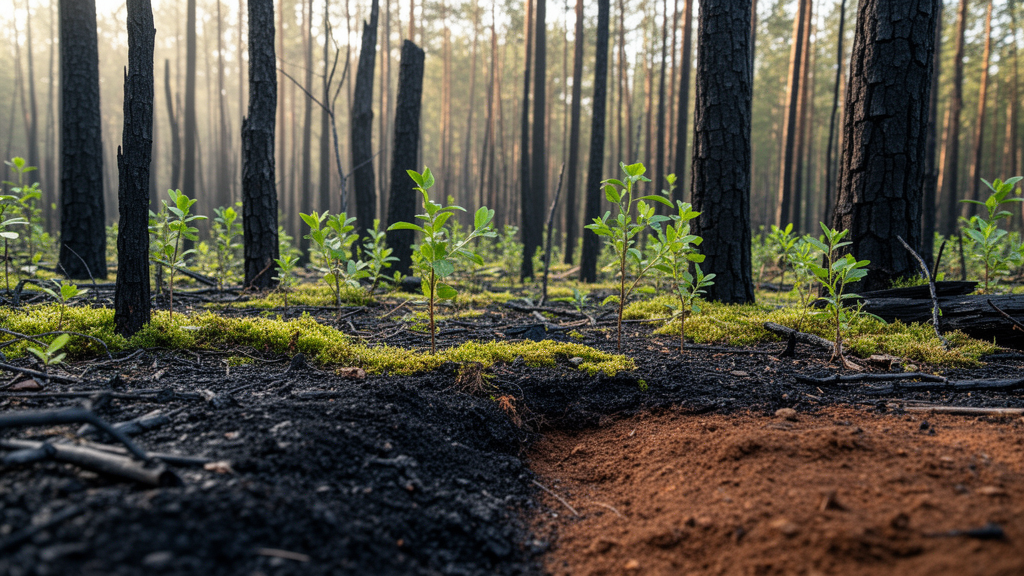
When wildfire tears through a forest, the damage does not stop at the trees. The soil itself is scorched, restructured, and chemically reshuffled, and ecologists have long wanted to know how quickly that buried damage heals.
Researchers led by Jisi Han and colleagues tracked a Pinus massoniana plantation in Daye, Hubei Province, central China, after a wildfire burned part of the landscape in April 2022. Within days of the fire, they classified plots into unburned, low-, moderate-, and high-severity classes using field evidence such as stem charring, shrub-layer burning, and litter consumption. They then established twenty permanent plots, five per severity class, and returned to the same plots eight times over 43 months, at roughly 1, 7, 13, 19, 25, 31, 37, and 43 months after the fire. At each visit they sampled three soil depths, from 0 to 10 centimeters, 10 to 30 centimeters, and 30 to 50 centimeters, and measured seven indicators spanning temperature, water content, bulk density, pH, soil organic carbon, total nitrogen, and available phosphorus.
The early signal was dramatic. In the surface layer, high-severity plots at the first survey had a mean near-surface soil temperature of 25.48 degrees Celsius, more than three degrees warmer than the 21.65 degrees recorded in unburned plots, and their soil water content was 23.00 percent against 31.64 percent in the reference. The chemical contrast was even starker. Surface soil organic carbon under high severity stood at 19.08 grams per kilogram, barely half the 38.61 grams per kilogram found in unburned soil, a deficit of 50.6 percent. Available phosphorus, by contrast, had spiked to 53.48 milligrams per kilogram in burned plots versus 11.82 in unburned ones, a classic ash-derived pulse, and pH had risen from 5.10 to 5.93.
What makes this study unusual is its persistence. Most postfire soil studies rely on one or two sampling dates, which the authors argue is precisely why the literature is full of contradictions. Earlier work in the same forest type had reported everything from seven-year trajectories of bulk density, carbon, and nutrients in South China to a case where, three months after fire, pH and nitrate had risen but soil organic carbon and total nitrogen showed no significant burned-unburned difference at all. By resampling the same plots eight times, the team could separate genuine directional change from short-term and seasonal noise, an important distinction because the surveys alternated between spring and autumn windows.
The answer that emerged is convergence, but uneven convergence. By the final survey at 43 months, surface-soil temperature, water content, bulk density, pH, total nitrogen, and available phosphorus no longer differed significantly among severity classes. Soil organic carbon told a different story: high-severity plots still held 35.10 grams per kilogram against 38.96 in the unburned reference, a residual gap of 3.86 grams per kilogram, roughly 9.9 percent. That is a huge improvement from the initial 19.52-gram deficit, meaning about 80 percent of the original carbon gap had closed, but the remaining difference is not trivial. Soil organic carbon governs aggregate stability, nutrient retention, and water relations, so a persistent ten percent shortfall in the surface layer may matter even when faster indicators look fully recovered.
Depth mattered too. The strongest and most consistent early departures occurred in the 0-to-10-centimeter layer, and several contrasts attenuated steadily with depth: the high-severity bulk-density excess fell from 0.164 grams per cubic centimeter at the surface to 0.057 at 30 to 50 centimeters, and the pH and phosphorus contrasts shrank along the same gradient. But the pattern was not a simple monotonic fade. Statistical interactions among fire severity, sampling time, and soil depth were significant for pH, organic carbon, total nitrogen, and available phosphorus, and some late-stage responses in the 10-to-30-centimeter layer, such as slightly lower bulk density under high severity, did not mirror the surface at all. The authors caution that their 0-to-10-centimeter interval is an operational definition, so the sharpest heating effects within the top few centimeters were likely diluted by averaging.
To capture the soil system as a whole rather than variable by variable, the team also ran integrated multivariate analyses on the surface layer. Principal component analysis placed burned plots far from unburned ones early on, with displacement growing from low to high severity, and showed scores drifting back toward the unburned range over time. Redundancy analysis, tested with permutation schemes that respected the repeated-measures structure of the permanent plots, found that fire severity explained 15.5 percent of surface-soil multivariate variation while linear elapsed time explained 25.2 percent, with 59.3 percent unexplained. A distance-to-reference metric declined in all three burned classes, and fitted exponential decay models showed the mean absolute effect size starting highest under high severity at 9.55 and decaying with the longest half-life, 6.3 months, compared with 5.3 months under low severity. High-severity fire, in other words, produced both the biggest initial shock and the most persistent integrated legacy.
The authors are careful about what this convergence does and does not mean. Because the wildfire was a natural event and monitoring began only afterward, no prefire soil measurements exist. The unburned plots serve as a contemporaneous reference, not a measured prefire baseline, so convergence toward them cannot be read as demonstrated restoration of the original prefire condition. The severity classes are a field-based ordinal gradient rather than quantitatively calibrated fire intensity, plots could not be randomly assigned, and elevation and slope varied among classes, though sensitivity analyses adjusting for topography left the key severity-by-time interactions significant in all 19 depth-by-variable models. Mechanistic explanations involving ash inputs, leaching, litter accumulation, and microbial processing are drawn from prior literature rather than measured directly in this study.
Even so, the practical takeaway is clear. A single indicator, or a single sampling date, can seriously mislead. A land manager who measured only pH or available phosphorus at 43 months would conclude the soil had recovered, while the carbon bookkeeping says otherwise. The study supports multi-indicator, depth-explicit monitoring of postfire soil condition, particularly after high-severity wildfire, and points toward future work with finer near-surface depth resolution, direct measurements of vegetation and hydrological recovery, and monitoring well beyond 43 months to determine whether the residual carbon deficit eventually closes or represents a lasting shift in how these plantation soils store and cycle carbon.
Subject of Research: Postfire recovery of soil physical and chemical properties across fire severity classes and soil depths in a subtropical pine plantation
Article Title: Postfire soil convergence toward an unburned reference varies with fire severity and soil depth
Article References: Han, J., Xue, W., Zhao, Z., Chen, L., Yan, Z., & Zhao, P. (2026). Postfire soil convergence toward an unburned reference varies with fire severity and soil depth. Fire Ecology, 22(1), Article 160. https://doi.org/10.1186/s42408-026-00585-2
Image Credits: AI Generated
DOI: 10.1186/s42408-026-00585-2
Keywords: wildfire, soil recovery, soil organic carbon, fire severity, Pinus massoniana, subtropical forest, soil depth, soil pH, available phosphorus, multivariate ordination, China, plantation forestry
News Source: Drew Townsend. (October 29, 2026). Burned soils creep back toward normal, but carbon lags behind. Scienmag.