Urban rivers are vital for biodiversity, local climate regulation, and everyday water supply, yet many are increasingly pressured by eutrophication. This nutrient-driven process can accelerate algal blooms, reduce dissolved oxygen, and degrade water quality. Traditional monitoring relies on labor-intensive sampling and laboratory analysis, which often produces sparse data and misses rapid spatial changes along entire river networks.
A new study introduces a high-resolution monitoring framework that estimates chlorophyll-a—the key photosynthetic pigment used as a proxy for algal abundance—by combining UAV (drone) multispectral imaging with an ensemble of machine learning and deep learning models. The approach aims to turn limited sampling into detailed spatial maps, enabling decision-makers to identify where water quality deteriorates and which surrounding land uses may contribute.
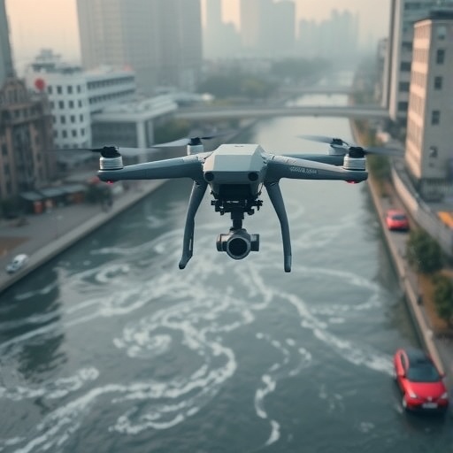
The researchers deployed UAV imaging over urban waterways in Harbin, Qiqihar, and Suihua in China’s Heilongjiang Province. They collected 57 water samples and captured multispectral data from a camera mounted on an unmanned aerial vehicle flying at 100 meters altitude. The resulting imagery achieved an estimated ground resolution of about 4.5 centimeters, supporting fine-scale observation of localized patterns in chlorophyll-a.
Instead of relying on a single predictive algorithm, the team developed an ensemble machine and deep learning (EMD) method. It integrates support vector machine, random forest, AdaBoost, and multilayer perceptron models. A central innovation is dynamic weighting: model contributions are adjusted per pixel based on local spectral characteristics, improving robustness where water properties vary across the scene.
Model performance was evaluated across repeated tests, yielding an average coefficient of determination of 0.797 and an average root mean square error of 18.96 mg/m³. Incorporating spectral indices derived from the drone imagery further improved accuracy and stability compared with using each model alone.
The generated maps revealed striking inter-city differences. Mean chlorophyll-a concentrations were about 12.57 mg/m³ in Harbin and 12.00 mg/m³ in Qiqihar, but rose sharply to 28.43 mg/m³ in Suihua, highlighting a hotspot of eutrophication risk.
To interpret these spatial patterns, the study linked chlorophyll-a variations to land-use context. Industrial development emerged as a dominant driver in Suihua: rivers adjacent to industrial areas showed substantially higher chlorophyll-a than those primarily affected by agriculture or mixed residential-green landscapes.
The results suggest that green areas can mitigate nutrient inputs by intercepting runoff, while well-managed sewage treatment can reduce the influence of residential zones. Overall, the findings argue against one-size-fits-all water management, instead advocating land-use tailored interventions.
While the framework demonstrates clear promise for rapid environmental surveillance, the authors note limitations including seasonal variability and a relatively small number of field samples. Future work could integrate satellite data, expand seasonal campaigns, and incorporate larger shared datasets to improve generalization.
Subject of Research: Efficient monitoring of chlorophyll-a concentration in urban water bodies using UAV multispectral imaging and ensemble machine/deep learning.
Article Title: Efficient monitoring of chlorophyll-a concentration in urban water bodies based on UAV multispectral images and ensemble machine and deep learning method.
News Publication Date: 29-Apr-2026
Web References: http://dx.doi.org/10.66178/aie-0026-0007
References: He A; Yang B; Qu Q; et al. AI Environ. 2026, 1(2): 93-105. DOI: 10.66178/aie-0026-0007
Image Credits: Anqi He, Bin Yang, Qinghe Qu, Fenfen Tian, Bin Yang
Keywords
chlorophyll-a, UAV multispectral imaging, eutrophication, ensemble machine learning, deep learning, spectral indices, urban water quality, land-use impacts, algal monitoring
Tags: AI-driven water quality managementdeep learning models for algal bloom assessmentdrone multispectral imaging for water qualityensemble machine learning for chlorophyll-a predictionfine-scale monitoring of urban water networkshigh-resolution water quality mappinginnovative approaches to river water quality assessmentland use impact on water pollutionremote sensing of urban water bodiesspatial analysis of eutrophication in citiesUAV-based urban river pollution detectionurban water pollution monitoring