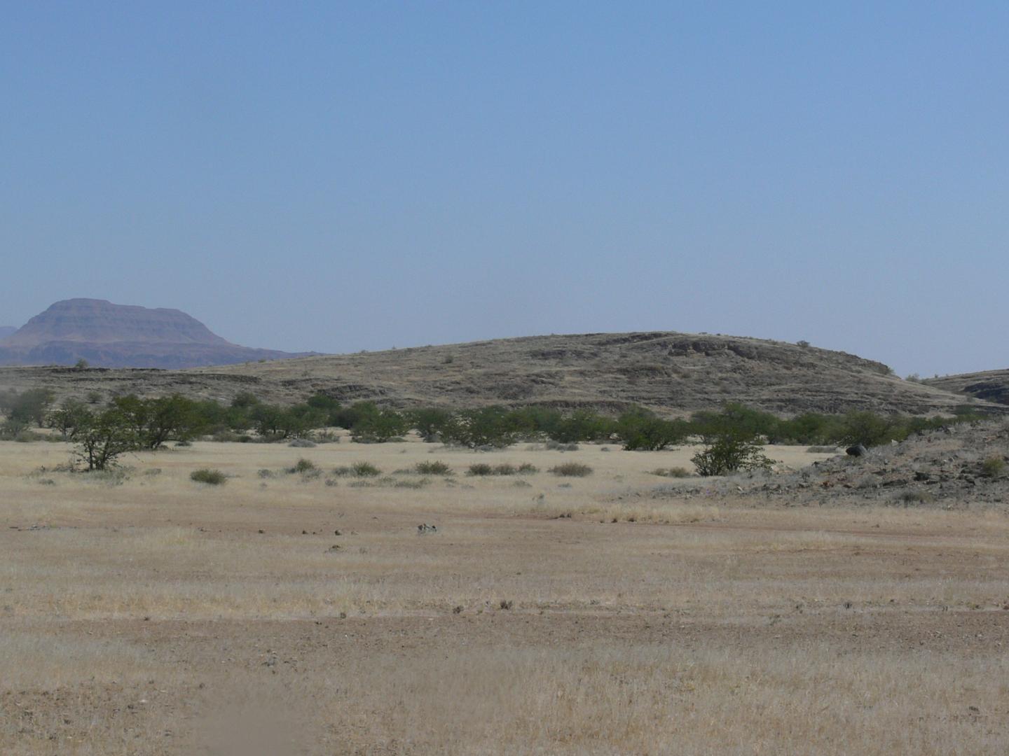
Credit: WVU
MORGANTOWN, W.Va.–A field trip to Namibia to study volcanic rocks led to an unexpected discovery by West Virginia University geologists Graham Andrews and Sarah Brown.
While exploring the desert country in southern Africa, they stumbled upon a peculiar land formation–flat desert scattered with hundreds of long, steep hills. They quickly realized the bumpy landscape was shaped by drumlins, a type of hill often found in places once covered in glaciers, an abnormal characteristic for desert landscapes.
“We quickly realized what we were looking at because we both grew up in areas of the world that had been under glaciers, me in Northern Ireland and Sarah in northern Illinois,” said Andrews, an assistant professor of geology. “It’s not like anything we see in West Virginia where we’re used to flat areas and then gorges and steep-sided valleys down into hollows.”
After returning home from the trip, Andrews began researching the origins of the Namibian drumlins, only to learn they had never been studied.
“The last rocks we were shown on the trip are from a time period when southern Africa was covered by ice,” Andrews said. “People obviously knew that part of the world had been covered in ice at one time, but no one had ever mentioned anything about how the drumlins formed or that they were even there at all.”
Andrews teamed up with WVU geology senior Andy McGrady to use morphometrics, or measurements of shapes, to determine if the drumlins showed any patterns that would reflect regular behaviors as the ice carved them.
While normal glaciers have sequential patterns of growing and melting, they do not move much, Andrews explained. However, they determined that the drumlins featured large grooves, which showed that the ice had to be moving at a fast pace to carve the grooves.
These grooves demonstrated the first evidence of an ice stream in southern Africa in the late Paleozoic Age, which occurred about 300 million years ago.
“The ice carved big, long grooves in the rock as it moved,” Andrews said. “It wasn’t just that there was ice there, but there was an ice stream. It was an area where the ice was really moving fast.”
McGrady used freely available information from Google Earth and Google Maps to measure their length, width and height.
“This work is very important because not much has been published on these glacial features in Namibia,” said McGrady, a senior geology student from Hamlin. “It’s interesting to think that this was pioneer work in a sense, that this is one of the first papers to cover the characteristics of these features and gives some insight into how they were formed.”
Their findings also confirm that southern Africa was located over the South Pole during this period.
“These features provide yet another tie between southern Africa and south America to show they were once joined,” Andrews said.
The study, “First description of subglacial megalineations from the late Paleozoic ice age in southern Africa” is published in the Public Library of Science’s PLOS ONE journal.
“This is a great example of a fundamental discovery and new insights into the climatic history of our world that remain to be discovered,” said Tim Carr, chair of the Department of Geology and Geography.
###
Media Contact
Katlin Swisher
[email protected]
304-293-9264
Original Source
https:/
Related Journal Article
http://dx.


