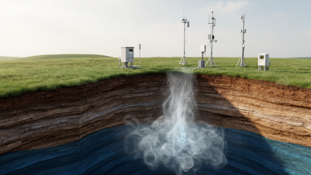
Burying carbon dioxide deep underground only works if engineers can watch where it goes. A comprehensive review published in the open-access journal Carbon Neutral Systems examines the geophysical methods used to monitor CO2 plumes in real time at carbon capture and sequestration (CCS) sites, evaluating their accuracy, sensitivity, and reliability across laboratory tests, pilot projects, and full-scale operations.
The review, led by Tayyab Shahid and Khizar Abid with Alexander Hessinger and Catalin Teodoriu, organizes monitoring around five objectives: tracking the plume’s spatial and temporal migration, verifying that it stays within the planned storage zone, detecting leaks through faults, fractures, or wellbore failures, monitoring stress and deformation of the reservoir and caprock, and assuring that shallow aquifers and surface ecosystems remain unharmed. Each technique serves one or more of these goals, and the authors stress that no single method can cover an entire CCS site on its own.
The authors divide real-time monitoring into three temporal categories. Continuous real-time techniques, such as microseismic monitoring and fiber optic sensing, acquire data with latency of seconds to minutes. Near real-time methods, including interferometric synthetic aperture radar (InSAR) and electrical resistivity tomography (ERT), involve processing delays of hours to days. Campaign-based approaches, such as time-lapse seismic and gravity surveys, collect data periodically at intervals of weeks to months. Each category carries its own resolution, latency, and suitability for detecting fast versus slow subsurface changes.
Seismic methods provide the highest-resolution tracking of plume migration. Time-lapse vertical seismic profiling (VSP) exploits the way supercritical CO2 alters elastic properties of the reservoir rock, including density, compressional and shear velocity, and seismic attenuation. VSP receivers placed in the wellbore achieve roughly twice the resolution of 3D surface seismic surveys, though with much narrower lateral coverage. Microseismic monitoring, using surface arrays and borehole geophones, detects induced seismicity caused by injection-related pressure changes, which can reveal fault movement and potential leakage pathways. Surface arrays cover more area, while downhole geophones record smaller events.
Non-seismic techniques complement seismic imaging. Gravimetry directly measures mass change: as low-density CO2 displaces denser brine, the bulk density of the formation drops, producing detectable anomalies in the local gravitational field. The density contrast between supercritical CO2 and brine is less than 0.5 grams per cubic centimeter, so surface gravity surveys generally cannot detect a plume unless roughly ten million tons have been injected, and performance degrades above 800 meters depth, where survey errors reach 5 to 10 microGal. Borehole gravimeters address this limitation, though field testing remains limited. ERT tracks resistivity changes in shallow aquifers and deep reservoirs, self-potential measurements detect streaming potentials generated by fluid flow, and induced polarization surveys can sense chemical interactions between CO2, rock minerals, and groundwater.
A substantial portion of the review focuses on MEMS gravimeters, which the authors identify as an emerging technology that could improve cost-effectiveness, sensitivity, and spatial resolution. Devices described include the University of Glasgow’s Wee-g instrument, which detects gravity variations of roughly 30 billionths of g and achieved field-tested sensitivity below 1 microGal in a package under 5 kilograms; a Huazhong University of Science and Technology sensor with 8 microGal per root-hertz noise that correlated at 0.91 with a reference superconducting gravimeter for Earth tides; and a wireline MEMS tool deployed in Canada’s Aquistore project that recorded gravity anomalies of approximately 20 microGal over 12 to 18 months, correlating with CO2 plume growth from 36 to 272 kilotons injected. The authors caution that MEMS devices remain susceptible to noise, temperature fluctuations, and pressure variations, and that their field validation is still very limited.
Laboratory studies establish the physical basis of these methods under controlled conditions. Experiments on sandstone cores showed that electrical conductivity changes during CO2 injection depend strongly on salinity: conductivity increased in fresh and low-salinity water, where CO2 dissolves most readily, but the change became negative in high-saline water, where gaseous CO2 simply displaced pore water. Carbonate-rich samples showed stronger conductivity responses than silica-dominated ones because CO2 dissolves carbonate minerals. Distributed fiber-optic strain sensing tracked plume breakthrough in clay-rich cores, with strain changes of about 260 microepsilon driven mainly by clay swelling from adsorption rather than poroelastic pressure effects. The authors note that lab findings cannot always be generalized directly to reservoir-scale operations.
Field deployments validate the techniques at scale. At the Sleipner project off Norway, the first full-scale offshore CCS site, nearly 18 million metric tons of CO2 have been injected since 1996, monitored with ten 3D seismic surveys and four seafloor gravity surveys using the ROVDOG instrument on 30 concrete benchmarks. Modeling indicated a CO2 dissolution rate in formation brine not exceeding 2.7 percent, and the volume of supercritical CO2 in the storage formation matched the injected volume, indicating no leakage. Limitations included gravity anomalies of 5 to 10 microGal, a detection limit of 3 to 5 microGal, and repeatability error of 2.1 microGal. At the Cranfield site in Mississippi, where 5.3 million metric tons were injected from 2009 to 2015, the first wellbore gravity survey at a CCS site detected an apparent density reduction of 0.02 grams per cubic centimeter in high-porosity zones, though noise increased with depth.
At the MRCSP project in the Michigan Basin, a time-lapse wellbore gravity survey using Scintrex’s Gravilog tool measured 39 downhole stations between 3 and 1,658 meters depth. Reservoir mass increased during injection from 2013 to 2016 and decreased during withdrawal from 2016 to 2018, matching model predictions, with a positive anomaly of about 90 microGal in the upper reef section and no density change above the reservoir. Other case studies include the Otway Stage 3 project in Australia, where the first field trial of time-lapse pressure tomography tracked roughly 15 kilotons of injected CO2 in agreement with offset-VSP and 4D-VSP seismic monitoring, and a controlled sub-seabed release experiment at Ardmucknish Bay, Scotland, where real-time pH and pCO2 sensors recorded data every two seconds during 37 days of injection.
The review concludes that integrated, multi-method monitoring is essential, since geophysical signals are rarely unique to CO2: gravity anomalies can reflect groundwater movement, microseismicity can stem from natural seismicity or unrelated pressure changes, and resistivity shifts can arise from salinity, temperature, or pore-pressure variation. The authors highlight three promising combinations: microseismic monitoring paired with time-lapse VSP for continuous event detection plus periodic high-resolution imaging; ERT combined with distributed fiber-optic sensing for complementary resistivity and strain measurements; and MEMS gravimetry joined with campaign-based gravity surveys to bridge near-wellbore sensing with reservoir-scale monitoring. They call for coordinated multi-site field trials to validate emerging technologies at operational CCS conditions before a fully reliable real-time monitoring framework can be deployed.
Subject of Research: Real-time geophysical monitoring methods for carbon capture and sequestration
Article Title: Real-time monitoring methods for secure carbon capture and sequestration: a comprehensive review of technologies and applications
Article References: Shahid, T., Abid, K., Hessinger, A., & Teodoriu, C. (2026). Real-time monitoring methods for secure carbon capture and sequestration: a comprehensive review of technologies and applications. Carbon Neutral Systems, 2(1), Article 8. https://doi.org/10.1007/s44438-026-00030-6
Image Credits: AI Generated
DOI: 10.1007/s44438-026-00030-6
Keywords: carbon capture and sequestration, CO2 plume monitoring, geophysical monitoring, time-lapse gravity, microseismic monitoring, MEMS gravimeter, vertical seismic profiling, electrical resistivity tomography, fiber-optic sensing, Sleipner project, leakage detection, CCS case studies
News Source: Sloane Callahan. (October 29, 2026). Tracking CO2 Underground: A Review Maps Real-Time Monitoring for Carbon Storage. Scienmag.