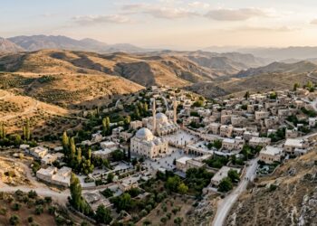
Geographers Map Multi-Scalar Spatial Dynamics of Turkey’s Menzil Religious Community
Researchers used GIS mapping, CAD reconstruction, and diachronic aerial imagery to analyze how the Menzil Community produces distinctive territorialities across ...
Researchers used GIS mapping, CAD reconstruction, and diachronic aerial imagery to analyze how the Menzil Community produces distinctive territorialities across ...
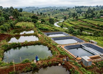
A descriptive spatial analysis of registered aquaculture enterprises across Nyeri County, Kenya, revealed significant geographic clustering and marked differences between ...

A new national assessment identifies 27 geothermal plays across Italy and finds major potential in sedimentary basins beyond the traditional ...

A survey of 276 Sierra Leonean farms mapped widespread cassava diversity, regionally variable pest pressure and cassava mosaic disease associated ...

Researchers have unveiled a solar-powered wireless sensor mesh architecture in which a single node monitors ten streetlights, detecting faulty bulbs, ...

A new multicriteria vulnerability mapping study of Cameroon's Sanaga River at Nachtigal reveals that nearly a quarter of the drinking ...

Researchers in Aligarh, India, developed a new Standard Weight Scoring method for soil quality indices that outperforms traditional approaches in ...

In the sprawling urban forests of the Pacific Northwest, the invasion of English Holly, scientifically known as Ilex aquifolium, is ...