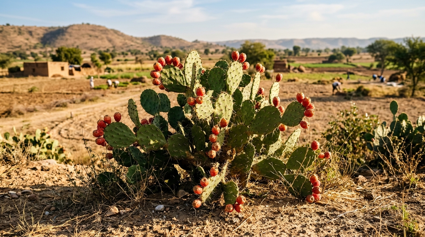
A new modeling study has assessed the current and future environmental suitability of cactus pear across India, establishing a spatial prioritization framework designed to support climate-informed dryland agricultural planning. Researchers evaluated where the crop could serve as an option for diversifying water-limited farming systems under shifting climate conditions. The investigation identified land areas that currently meet ecological criteria and analyzed whether favorable conditions are likely to persist through the middle and late twenty-first century.
To model environmental suitability, the authors employed Maximum Entropy modeling based on 138 spatially thinned occurrence records of cactus pear. The modeling incorporated environmental predictors spanning climatic conditions, soil characteristics, and land-use and land-cover variables. To project future suitability, the researchers projected the models to the 2050s and 2070s across four Representative Concentration Pathway scenarios using projections derived from the BCC-CSM1-1 global climate model.
The study integrated the raw ecological niche predictions with selected soil and land-surface criteria through the Analytic Hierarchy Process to produce an integrated measure of environmental suitability. Under current conditions, areas classified with Moderate-to-Optimum integrated suitability covered approximately 1.085 million square kilometers across the country, providing a baseline assessment of existing biophysical suitability.
To track environmental stability over time, the team evaluated suitability retention across future climate projections using a Climate Persistence Index. The analysis revealed that approximately 73.41 percent of the currently suitable area, amounting to 796,315 square kilometers, retained at least Moderate suitability across five or more of the eight evaluated future climate scenarios.
By combining current integrated suitability with future persistence scores, the authors formulated the Climate-smart Opuntia Priority Index to identify priority intervention zones. This framework categorized 549,070 square kilometers, representing 16.80 percent of the analyzed territory, as High or Very-high priority for dryland planning. These higher-priority zones were primarily located in western India, while additional suitable expanses were identified across peninsular regions.
The researchers compared the model classifications against five independently reported Indian field experimental locations, noting that all five sites spatially corresponded with areas categorized as High or Very-high priority. However, documented variations in cactus pear survival and biomass productivity across these sites indicated that model-estimated habitat suitability does not directly predict on-the-ground crop performance.
The authors emphasized several notable scientific limitations inherent to the modeling framework. The projections rely entirely on a single global climate model, predefined regularization settings within MaxEnt, fixed Analytic Hierarchy Process weights, static assumptions regarding soil and land-use stability over time, and a limited set of field comparison points. Consequently, the priority index serves as a preliminary decision-support guide for targeting agronomic trials and germplasm evaluations rather than direct proof of agricultural resilience.
The study was authored by Manish Mathur of the Central Arid Zone Research Institute (ICAR) in Jodhpur, India, alongside Preet Mathur from the Thapar Institute of Engineering and Technology (Deemed to be University) in Indra Puri Colony, India. Published as original research in Frontiers in Sustainable Food Systems within the agroecology and ecosystem services section, the work evaluates Opuntia ficus-indica (L.) MILL. to address the broader need for climate-informed diversification across water-limited farming systems. The formal editorial timeline for the publication records that the paper was received on 18 September 2026 and accepted on 16 October 2026.
Ultimately, the researchers emphasize that the Climate-smart Opuntia Priority Index functions strictly as a preliminary biophysical decision-support framework rather than direct evidence of cultivation success or agricultural resilience. By distinguishing modeled environmental suitability from actual on-the-ground crop performance, the spatial prioritization system establishes a structured baseline to guide subsequent field research. Agricultural planners and researchers can use these geographic findings to prioritize genotype evaluations, agronomic trials, and sustainable dryland diversification initiatives across identified regions in India before committing substantial development resources or expanding crop programs.
Subject of Research: Environmental suitability and climate-informed spatial prioritization of cactus pear in India
Article Title: Environmental suitability and climate-informed spatial prioritization of Opuntia ficus-indica (L.) MILL. in India using MaxEnt and the analytic hierarchy process
Article References: Mathur, M., & Mathur, P. (2026). Environmental suitability and climate-informed spatial prioritization of Opuntia ficus-indica (L.) MILL. in India using MaxEnt and the analytic hierarchy process. Frontiers in Sustainable Food Systems, 10, Article 2003244. https://doi.org/10.3389/fsufs.2026.2003244
Image Credits: AI Generated
DOI: 10.3389/fsufs.2026.2003244
Keywords: Opuntia ficus-indica, cactus pear, MaxEnt, Analytic Hierarchy Process, India, climate persistence, dryland agriculture, agricultural planning, spatial prioritization, environmental suitability, BCC-CSM1-1, RCP scenarios, diversification, crop modeling, agroecology, sustainable food systems
News Source: Alan Morgan. (November 17, 2026). Study Maps Future Environmental Suitability for Cactus Pear Cultivation in India. Scienmag.