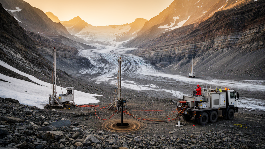
Deep beneath a quiet patch of countryside roughly 45 kilometers north of Lake Constance in southern Germany, an ancient scar left behind by the Rhine Glacier is giving up its secrets one seismic pulse at a time. In a study published in the journal Scientific Drilling, a team of German geophysicists has reported the results of an unusually ambitious crosshole seismic experiment conducted at the Tannwald Basin, a glacially overdeepened valley that is about one kilometer wide and reaches depths of up to 250 meters. By firing a sparker source inside one borehole and listening with a hydrophone string in another, the researchers produced some of the first high-resolution velocity models ever obtained for glacial sediments at depths down to about 160 meters, offering a new window into how glaciers carve and then bury entire valleys.
The work forms part of the International Continental Scientific Drilling Program project known as DOVE, short for Drilling Overdeepened Alpine Valleys, which investigates how repeated Alpine glaciations excavated deep troughs and then filled them with sediment over hundreds of thousands of years. These buried basins matter far beyond their scientific curiosity. Because their sedimentary infill forms complex systems of aquifers with widely differing permeabilities, groundwater levels can vary dramatically over distances of just a few tens of meters. The same soft, layered sediments also strongly amplify earthquake shaking, a serious consideration in a seismically active Alpine region, and they influence the viability of shallow geothermal installations. Understanding what lies hidden inside these basins is therefore directly relevant to water supply, hazard assessment, and energy planning.
What makes the Tannwald experiment exceptional is its geometry. While most of the DOVE drilling sites involved a single borehole, site 5068_1 in the Tannwald Basin was equipped with three boreholes, labeled A, B, and C, all of which reached the base of the Quaternary infill between 153 and 158 meters depth. The boreholes were cased with 80-millimeter PVC pipe and backfilled with bentonite and filter sand, and they were arranged in an isosceles triangle with short edges of 28 meters oriented north-south and west-east. According to the authors, this acquisition geometry has never before been used to investigate glacial sediments at such depths, although crosshole seismic methods are routinely employed in the oil and gas industry to characterize reservoirs deeper than 500 meters and have more recently been applied at geothermal sites and in shallow aquifer studies.
The physics behind the technique explains why it delivers such sharp images. Surface seismic surveys are typically limited to frequencies below about 200 hertz, and the low-velocity weathering layer at the ground surface strongly attenuates high frequencies before they can penetrate the subsurface. Crosshole seismic methods sidestep this problem entirely by placing both the source and the receivers below the surface, inside the boreholes. In the Tannwald campaign, a sparker source powered by a high-voltage generator generated compressional waves, and a 24-station hydrophone string with omnidirectional pressure sensors spaced every 2 meters recorded the arrivals. Each position was shot eight times to improve the signal-to-noise ratio, and the team collected roughly 40 gigabytes of data over about ten working days with a field crew of three to four people.
The raw data, however, proved to be a mixed blessing. On the positive side, the signal-to-noise ratio with respect to environmental noise was excellent, and the sparker source excited seismic waves with frequencies in the kilohertz range, far above what surface methods can achieve. On the negative side, the records were dominated by two distorting features. The first was tube waves, a notorious nuisance in crosshole sparker surveys, which propagate along the borehole fluid at velocities of about 1430 meters per second and mask later arrivals with their high amplitudes. The second was aliasing, an artifact of undersampling in both time and space. The time sampling interval of 0.5 milliseconds used for the two short borehole planes was too coarse to capture the full frequency content of the sparker signal, producing smeared first arrivals and wrap-around effects visible in the frequency-wavenumber spectra of the data.
These practical lessons translate into concrete recommendations for future surveys. The team suggests concentrating future P-wave acquisitions on high-resolution horizontal-path imaging rather than anisotropy investigations, sampling time at rates of at least 8 kilohertz to preserve sharp phase onsets, shortening the total recording window to around 800 milliseconds, and registering surface receivers separately from the crosshole data, since the additional 336 surface channels were the main driver of long listening times. Positioning also proved challenging: avoiding spatial aliasing would have required a source and receiver spacing of just 0.1 meters, at which point depth errors from cable extension, depth markers, and tool clamping would have been of similar magnitude, and buoyancy from drilling mud left in one borehole shifted the deepest source positions by up to half a meter.
Despite these hurdles, the team extracted valuable images using first-arrival travel-time tomography. The method picks the arrival times of the earliest seismic energy at each receiver and then iteratively adjusts a subsurface velocity model until simulated travel times, computed with a shortest-path ray-tracing scheme, match the observations. The researchers used the open-source inversion code pyGIMLi with a damped Gauss-Newton algorithm, and, because the basin infill was expected to be predominantly horizontally layered, they applied geostatistical constraints with a horizontal correlation length of 50 meters and a vertical correlation length of 5 meters. Synthetic resolution tests demonstrated that the inversion could distinguish layers of 5 meters thickness differing in velocity by only 5 percent on the longer borehole plane, although the tests also revealed a systematic bias: because seismic rays prefer fast paths, high-velocity layers appear thicker in the tomograms while low-velocity zones appear thinner.
The resulting tomograms tell a coherent geological story that matches the drill core remarkably well. A low-velocity zone below 1800 meters per second extends from the groundwater level down to about 54 meters, corresponding to gravel and fine-grained sediments, with an intermediate-velocity layer at roughly 40 meters depth on the long plane that aligns with a sand layer in the core. Below that, an approximately 9-meter-thick high-velocity layer exceeding 2000 meters per second appears on all three planes and corresponds to a diamict, a poorly sorted glacial deposit, recovered between 54 and 63 meters in the cored borehole. Deeper still, discontinuous layers between about 75 and 138 meters reflect an alternation of sands and fines, and the bottom of the model reveals velocities approaching 2600 meters per second, marking the massive diamict and, ultimately, the Tertiary Molasse bedrock at the base of the basin. Extracted velocity profiles along the borehole trajectories agree reasonably well with cased-hole sonic logs, with the best fit achieved on the long plane, where the four-times-finer time sampling delivered picking accuracy roughly four times better than on the short planes.
Perhaps the most striking finding is that the seismic images are not smoothly layered at all. The discontinuous layers at intermediate depths reveal a heterogeneous basin infill, a picture echoed by groundwater measurements showing highly variable water levels over distances of less than 40 meters between the boreholes. The apparent interruption of the shallow sand layer between boreholes A and B, visible as an intermediate-velocity zone near one well but not the other, suggests glacial deposits that change character rapidly in the horizontal direction, something surface seismic data simply cannot resolve. The authors also note that the low-pass filtering effect of glacial sediments turned out to be much smaller than literature values had led them to expect during survey planning, an encouraging result for anyone considering kilohertz-frequency imaging in similar settings.
The team sees this tomography as only a first step. The next phase of the research will apply full-waveform inversion, a computationally demanding technique that fits not just arrival times but the entire shape of the recorded seismic traces. Because FWI exploits reflections and amplitude information that travel-time tomography discards, it promises to push the resolution down to the decimeter scale, bridging the gap between conventional surface seismic surveys and core-scale geological observation, provided the pervasive tube waves can be thoroughly removed first. Combined with the detailed sedimentology of the drill core, these models will allow geologists to reconstruct precisely how the Rhine Glacier sculpted, emptied, and refilled the Tannwald Basin through successive glacial cycles, and they offer a template for imaging buried glacial landscapes across the entire Alpine foreland and beyond.
Subject of Research: Crosshole seismic imaging of glacial sediments in the glacially overdeepened Tannwald Basin
Article Title: A comprehensive crosshole seismic experiment in glacial sediments at the ICDP DOVE site in the Tannwald Basin
Article References: Beraus, S., Burschil, T., Buness, H., Köhn, D., Bohlen, T., & Gabriel, G. (2024). A comprehensive crosshole seismic experiment in glacial sediments at the ICDP DOVE site in the Tannwald Basin. Scientific Drilling, 33(2), 237-248. https://doi.org/10.5194/sd-33-237-2024
Image Credits: AI Generated
Keywords: crosshole seismics, glacial sediments, Tannwald Basin, ICDP DOVE, Rhine Glacier, travel-time tomography, sparker source, overdeepened valleys, Scientific Drilling, P-wave velocity, borehole geophysics, full-waveform inversion
News Source: Violet Maxwell. (October 9, 2026). Seismic Waves Fired Between Alpine Boreholes Reveal Hidden Glacial Buried Basin in Unprecedented Detail. Scienmag.