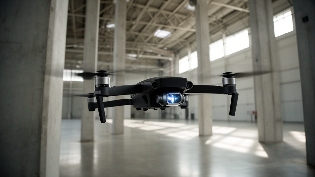
Researchers Mohammed Maiza, Chahira Cherif, Samira Chouraqui, and Abdelmalik Taleb-Ahmed have engineered an autonomous navigation framework called BS-CYOLOv5, uniting a customized deep learning vision architecture with an evolutionary backtracking search algorithm to guide unmanned aerial vehicles through cluttered environments. Detailed in Discover Vehicles, the study bridges the divide between visual sensing and flight trajectory execution in drone autonomy. By unifying multi-sensor processing, real-time obstacle detection, and dynamic three-dimensional path recalculation into a closed loop, the platform resolves operational bottlenecks that cause in-flight collisions. Evaluated on benchmark flight data, the framework achieved 98.10 percent obstacle detection accuracy, while reducing in-flight collision rates by 75 percent compared to standard baseline configurations. These findings demonstrate that simultaneous algorithmic optimization of perception models and kinetic navigation planning yields safer, more dependable flight paths in dense airspace without requiring continuous human intervention.
The expanding deployment of unmanned aerial vehicles across civilian and industrial sectors—including search and rescue, agricultural monitoring, infrastructure inspection, and aerial logistics—has underscored the demand for guidance systems that adapt to unpredictable physical surroundings. Traditional drone navigation architectures typically divide perception and trajectory planning into separate computing stages. In dense settings such as urban corridors or forested terrain, this decoupling introduces computational latency, where delays in processing sensor feeds leave insufficient time to compute avoidance maneuvers around slender wires, moving structures, or tree branches. To resolve these challenges, the authors structured their study around two primary research questions. First, the team investigated how deep learning architectures could be optimized to improve real-time obstacle identification through multi-sensor fusion.
To establish an empirical foundation for model training and flight trajectory benchmarking, the researchers utilized the publicly available UAV Autonomous Navigation Dataset from Kaggle. This benchmark dataset comprises 10,000 labeled flight samples gathered from synchronized multi-sensor platforms navigating realistic flight profiles. The data acquisition payload integrated four primary sensing modalities: optical RGB cameras capturing frames at 640 by 480 pixel resolution at 30 frames per second, a LiDAR sensor offering depth sensing across a 100-meter range with 0.1-degree angular resolution, an inertial measurement unit equipped with a three-axis accelerometer and gyroscope for vehicle orientation tracking, and a global positioning system unit delivering global coordinates with 5-meter positional accuracy. Continuous time-series logs tracked obstacle encounters over 80-second continuous flight segments, displaying distinct confidence transitions. Sensor cross-plots revealed an inverse correlation between vehicle speed and LiDAR obstacle distance, confirming that speed dropped proportionally as obstacles approached.
Before inputting the heterogeneous multi-modal streams into the deep learning pipeline, the authors executed a four-stage preprocessing procedure to guarantee numerical consistency, model stability, and generalizability. In the initial data cleaning phase, the authors filtered out incomplete or corrupted records caused by transmission dropouts or inter-sensor synchronization offsets. Next, all continuous numerical readings—including distance metrics from LiDAR, acceleration and angular velocity values from the IMU, and coordinate readings from the GPS—underwent min-max normalization, mathematically scaling values into a strict zero-to-one interval. To expand data diversity and prevent artificial overfitting on the RGB camera images, the researchers applied data augmentation comprising random image rotations within plus or minus 15 degrees, brightness and contrast variations within plus or minus 20 percent, and horizontal flipping. Finally, the sanitized dataset was partitioned using an 80 percent training, 10 percent validation, and 10 percent testing split.
The perceptual core of the architecture is CYOLOv5, a customized neural network derived from YOLOv5 that incorporates explicit domain adaptations for aerial obstacle detection. While retaining the computational efficiency of the CSPDarknet53 backbone, the designers embedded additional convolutional layers alongside Squeeze-and-Excitation attention modules following the final three cross-stage partial blocks. Within the network neck, the Path Aggregation Network was modified with weighted bi-directional feature pyramids, enhancing cross-scale feature fusion across large structures down to narrow hazards like transmission poles or cables. In the detection head, the authors expanded the structure from three output layers to four, establishing a finer detection grid for ultra-small objects. Furthermore, anchor bounding boxes were reclustered on the dataset using K-means++, and the training objective combined Complete-IoU loss with Focal Loss modulation.
To optimize both model learning and real-time flight navigation, the framework introduces a dual-purpose implementation of the Backtracking Search Algorithm, an evolutionary global optimization technique known for population-based exploration. The BSA operates in two distinct functional modes with differing computational horizons. During offline model training on a computing cluster equipped with dual NVIDIA A100 GPUs and an AMD EPYC 64-core processor, BSA conducts hyperparameter optimization over 200 generations with a population of 50 candidates. Conversely, during live drone flight, a lightweight instance of BSA functions as an onboard path planner. Running at 10 Hz with a population of 20 individuals, the algorithm terminates within 15 generations to comply with an onboard 100-millisecond latency deadline, fusing CYOLOv5 bounding boxes with LiDAR depth and GPS data to generate 3D collision-free trajectories.
The mathematical foundation of real-time path planning relies on an explicit multi-factor cost function that couples visual perception confidence directly to physical flight safety. When generating waypoint sequences, the real-time BSA evaluates a total path cost comprising four competing penalty components: a collision indicator that enforces severe penalties whenever a candidate path intersects an obstacle boundary, a proximity penalty calculated as the sum of inverse distances between the trajectory and all detected obstacles, an energy consumption estimation based on route length and maneuvers, and an endpoint deviation penalty measuring Euclidean distance from the destination goal. In an innovative feedback mechanism, the proximity weighting coefficient for each obstacle is scaled dynamically by the detection confidence score produced by CYOLOv5.
In comparative experimental benchmarking averaged across five independent trials, BS-CYOLOv5 surpassed leading vision and reinforcement learning baselines across all evaluated performance dimensions. The integrated architecture attained an overall detection accuracy of 98.10 percent, precision of 97.52 percent, recall of 97.54 percent, an F1-score of 97.28 percent, and an Intersection over Union of 96.1 percent. When compared to the next most competitive baseline detector, RetinaNet, BS-CYOLOv5 recorded a 2.05 percentage point higher accuracy and a 2.30 percentage point improvement in mean Average Precision at an IoU threshold of 0.5. It similarly outperformed Faster R-CNN, EfficientDet-D0, DETR, standard YOLOv5s, YOLOv8n, and reinforcement learning methods including SARSA and DAC-SAC. An ablation analysis isolated the specific performance contributions of each architectural enhancement. Replacing baseline YOLOv5s with CYOLOv5 produced an immediate gain of 2.64 percentage points in accuracy and 3.05 percentage points in precision, while adding real-time BSA path planning improved recall by 0.55 percentage points.
To evaluate holistic navigational capability beyond computer vision metrics, the researchers assessed the platform across 200 simulated missions against a conventional baseline pairing YOLOv5s detection with the A* path planning algorithm. In these operational trials, BS-CYOLOv5 slashed the obstacle collision rate—defined as flight distance spent within a 1.5-meter safety radius of any obstacle—from 3.2 percent down to 0.8 percent, representing a 75 percent reduction. Mission success rate climbed to 96.5 percent, exceeding the baseline by 9.3 percentage points. Energy expenditure dropped by 13.1 percent, from 48.7 down to 42.3 watt-hours per kilometer, while trajectory deviation decreased by 42.8 percent to 1.23 meters. Flight path smoothness also improved by 38.2 percent, averaging 4.2 degrees of angular change per meter compared to 6.8 degrees in the baseline. Hardware evaluations on an embedded NVIDIA Jetson Xavier AGX processor with INT8 quantization demonstrated real-time feasibility, achieving an average inference latency of 45 milliseconds per frame with 2.1 gigabytes of system memory.
Despite the clear performance advances demonstrated across detection accuracy and flight efficiency, the researchers highlighted several technical boundaries and hardware limitations that govern real-world deployment. Continuous 30-minute stress flights on the Jetson Xavier AGX platform triggered thermal throttling that increased inference latency by approximately 20 percent to 54 milliseconds per frame, lowering processing throughput to 18 frames per second. Furthermore, extending tests to simulated multi-drone operations involving three to five UAVs revealed that inter-vehicle communication exchanges introduced an additional 8 to 15 milliseconds of latency. Acknowledging that the 10,000-sample dataset cannot encapsulate every atmospheric variation, the authors outlined future work focusing on multi-modal sensor fusion incorporating thermal cameras, millimeter-wave radar for fog penetration, and polarization sensors alongside distributed planning algorithms for multi-drone coordination.
Subject of Research: Autonomous unmanned aerial vehicle obstacle detection and real-time trajectory optimization
Article Title: Enhanced UAV navigation in cluttered environments via a BS-CYOLOv5 multi-sensor approach
Article References: Maiza, M., Cherif, C., Chouraqui, S., & Taleb-Ahmed, A. (2026). Enhanced UAV navigation in cluttered environments via a BS-CYOLOv5 multi-sensor approach. Discover Vehicles, 2(1), Article 3. https://doi.org/10.1007/s44465-026-00008-1
Image Credits: AI Generated
DOI: 10.1007/s44465-026-00008-1
Keywords: unmanned aerial vehicles, BS-CYOLOv5, obstacle detection, backtracking search algorithm, multi-sensor fusion, autonomous navigation, LiDAR mapping, real-time path planning, Squeeze-and-Excitation attention, Complete-IoU loss, Focal Loss, trajectory optimization, NVIDIA Jetson Xavier AGX, collision avoidance, embedded edge computing, inertial measurement unit, feature pyramid network
News Source: Blake Davidson. (November 12, 2026). Novel Deep Learning Framework Cuts Autonomous Drone Collision Rates by 75 Percent. Scienmag.