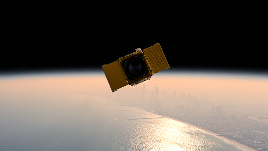
In the summer of 2023, a fleet of aircraft, ground-based lidars, and a brand-new geostationary satellite converged on New York City and Long Island Sound for an unprecedented look at how ozone pollution forms and moves through one of the most complicated coastal urban environments in the United States. The results, published in Atmospheric Chemistry and Physics by a team led by Claudia Bernier of NASA’s Ames Research Center, offer the first comprehensive test of NASA’s TEMPO satellite over the region and reveal how sea breezes, residual pollution layers, and urban emissions conspire to produce some of the worst air quality days of the season. The work is a milestone for a new era of air quality monitoring in which pollution can be tracked hour by hour from space.
TEMPO, short for Tropospheric Emissions: Monitoring of Pollution, was launched on 7 April 2023 and observes North America from geostationary orbit, scanning from east to west every daylight hour at a spatial resolution of roughly 2.1 by 4.4 kilometers. That combination of speed and detail is revolutionary for air quality science, because ozone and its precursors change rapidly throughout the day. But a new instrument is only as good as its validation, and the STAQS campaign, short for Synergistic TEMPO Air Quality Science, was designed to put the satellite’s measurements of nitrogen dioxide and formaldehyde, the two key ozone precursors, through a rigorous real-world examination over the New York City and Long Island Sound region.
The researchers compared TEMPO’s column retrievals against two independent reference systems. The first was Pandora, a network of ground-based spectrometers that measure trace gas columns by tracking the sun. The second was the GEO-CAPE Airborne Simulator, or GCAS, an instrument flown aboard NASA’s DC-8 research aircraft at about 9 kilometers altitude, which maps nitrogen dioxide and formaldehyde with a native resolution of roughly 250 meters. For nitrogen dioxide, TEMPO performed impressively, achieving correlations of about 0.79 against Pandora and 0.81 against GCAS, with biases comparable to those reported in earlier satellite validation studies. The satellite successfully captured the dramatic contrast between the polluted urban core of Manhattan and the cleaner suburban and coastal surroundings.
Yet the validation also exposed clear weaknesses. TEMPO struggled most at sites near the land-water boundary, such as New Haven and Westport, where sharp contrasts in surface reflectivity between land and water complicate the retrieval. The satellite also smoothed out the steep gradients between urban and suburban zones, producing a more gradual transition than GCAS observed. Over Staten Island, TEMPO showed a pronounced negative bias in nitrogen dioxide, likely tied to the same albedo issues and to the coarse vertical profiles assumed in the retrieval process. Formaldehyde proved even harder, with weak correlations against both reference instruments, a result the authors caution reflects the inherent noise of single-hour retrievals rather than a definitive verdict on the satellite’s formaldehyde capability.
To bridge the gaps between these sparse observations, the team ran a high-resolution simulation with the WRF-Chem model at an unusually fine 1.33-kilometer grid spacing, driven by hourly kilometer-scale emission inventories. The model reproduced the major spatiotemporal patterns of surface ozone and nitrogen dioxide with correlations between roughly 0.56 and 0.73, along with realistic coastal wind fields, making it a credible tool for filling in the blanks where no instrument was watching. Slight overestimation of ozone and underestimation of nitrogen dioxide were noted, but the overall agreement was strong enough to support the integrated analysis that followed.
With the model and observations in hand, the researchers classified the campaign into three pollution regimes. The high pollution days of 26 and 28 July occurred under a stagnant high-pressure system with weak winds, high temperatures, and clear skies. On 26 July, ozone concentrations climbed above 100 parts per billion along the coast at the New York-Connecticut border. Lidar observations traced the event from its birth over the urban core, where a dense nitrogen dioxide plume accumulated by late morning, eastward across Long Island Sound as a moderate sea breeze recirculated the pollutant-rich air back toward the coastlines. Doppler wind lidars showed the sea breeze circulation penetrating nearly a kilometer into the atmosphere, deep enough to sweep urban emissions across the water and fuel widespread ozone production along both shores.
The following high pollution day told a strikingly different story despite similar winds. On 28 July, coastal ozone spiked early, before the urban core had produced much ozone at all, suggesting the pollution did not originate from that morning’s emissions. Lidar data from the previous evening showed elevated ozone persisting aloft, and model simulations indicated that an ozone-rich residual layer between one and two kilometers altitude likely survived the night, only to be entrained downward into the growing daytime boundary layer the next morning. The authors are careful to note that this mechanism remains a provisional hypothesis, since direct overnight observations were unavailable and coastal convergence offers a plausible alternative, but the pattern is consistent with a well-known phenomenon in which yesterday’s pollution becomes today’s problem.
The moderate pollution days in August revealed how sharply conditions can differ across just a few kilometers of coastline. On 11 August, ozone exceeding 70 parts per billion persisted for hours along the Connecticut shore while sites on the New York side of the Sound, under a different air mass, stayed relatively clean. Lidars on the Connecticut coast captured the elevated ozone, and TEMPO tracked the precursor buildup over the city and southern Long Island before enhanced formaldehyde signaled a shift toward a more VOC-rich chemical environment downwind. On the low pollution days, by contrast, frontal passages brought strong winds that flushed nitrogen oxides out of the source region entirely, and both TEMPO and GCAS showed minimal precursor enhancements, demonstrating that meteorology alone can suppress ozone formation even when emissions remain unchanged.
The broader lesson is that identical-looking weather can produce fundamentally different pollution outcomes depending on where the pollutants sit in the vertical column and how the chemistry evolves. That insight is precisely what surface monitoring networks, with their sparse point measurements, cannot deliver on their own. The study also found preliminary evidence that TEMPO performs better under cleaner conditions than in complex moderate pollution episodes, though the authors stress that only two coincident flight days were available for that comparison. As TEMPO’s retrieval algorithms improve, particularly in their treatment of surface albedo, the satellite’s hourly view of nitrogen dioxide and formaldehyde promises to sharpen ozone forecasts and help regulators target mitigation in exactly the kinds of coastal transition zones where pollution is hardest to predict. For a region that has struggled for decades to meet federal ozone standards, a watchful eye fixed permanently overhead may prove to be a decisive new ally.
Subject of Research: Satellite and multi-platform assessment of ozone pollution dynamics in the New York City and Long Island Sound coastal region
Article Title: Assessing ozone dynamics during the 2023 summer STAQS field campaign using synergistic observations and model simulations
Article References: Assessing ozone dynamics during the 2023 summer STAQS field campaign using synergistic observations and model simulations. (n.d.). https://doi.org/10.5194/acp-26-13795-2026
Image Credits: AI Generated
DOI: 10.5194/acp-26-13795-2026
Keywords: TEMPO, ozone pollution, air quality, New York City, Long Island Sound, sea breeze, nitrogen dioxide, formaldehyde, lidar, WRF-Chem, satellite validation, STAQS campaign
News Source: Russell Cooper. (October 9, 2026). New Satellite Eye on Smog: TEMPO Tracks Ozone Pollution Over New York’s Coastal Waters. Scienmag.