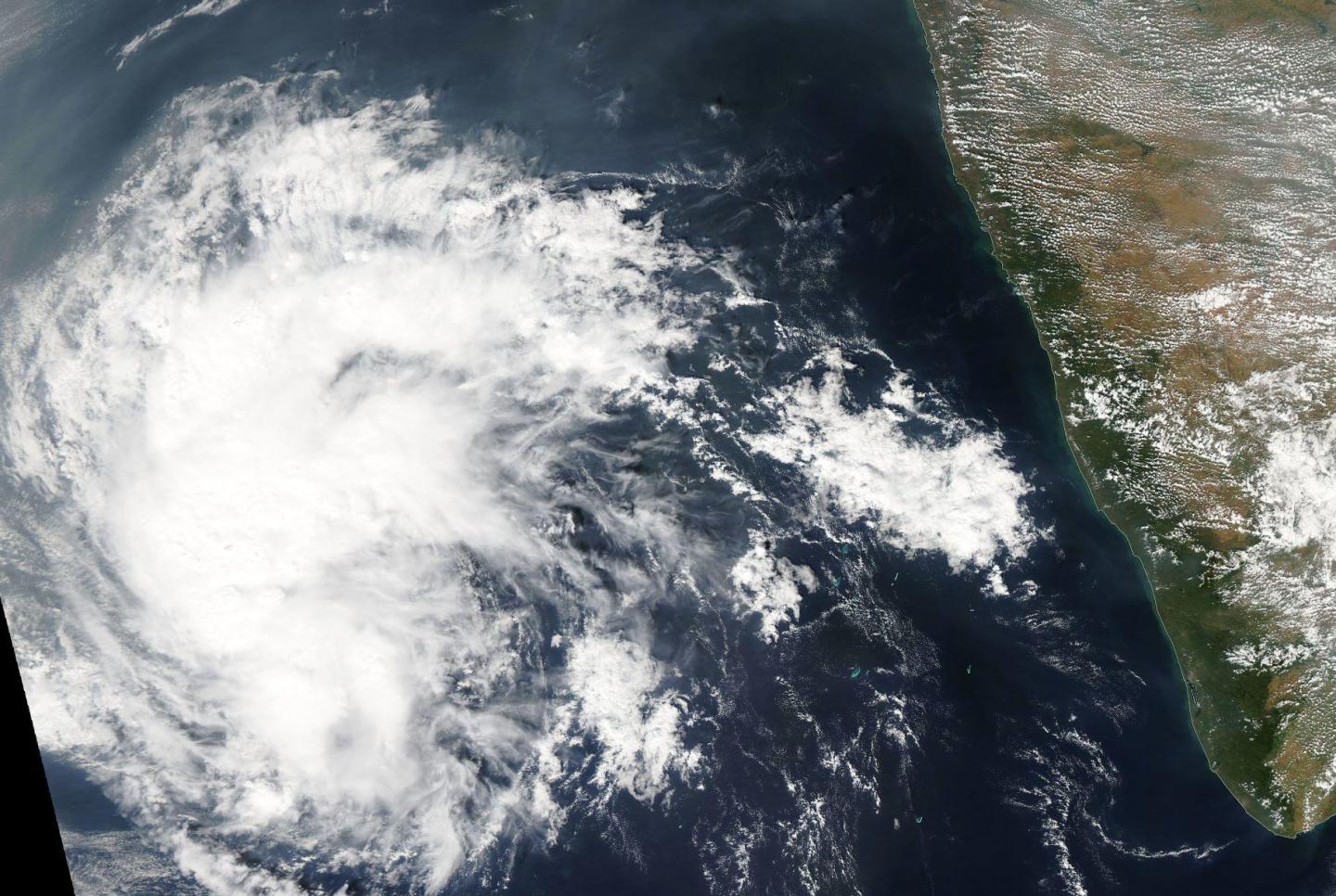
Credit: Credits: NASA Goddard MODIS Rapid Response Team
After moving into the very warm waters of the southeastern Arabian Sea the remnants of Tropical Cyclone Vardah seemed to have regained some life. Both NASA's Aqua satellite and the Global Precipitation Measurement mission or GPM core satellite saw some strong storms develop in the remnant low pressure area.
The GPM core observatory satellite had a good look at lively remnants of Vardah when it flew over on Dec. 15 at 9:21 p.m. EST (Dec.16 at 0221 UTC). GPM's radar (DPR Ku Band) found that powerful convective thunderstorms south of the low's center were dropping rain at a rate of greater than 156 mm (6.1 inches) per hour.
GPM's radar (DPR Ku Band) data were used to create a 3-D slice through the convective storms associated with Vardah's remnants. At NASA's Goddard Space Flight Center in Greenbelt, Maryland a 3-D view of precipitation revealed that some of the tall storm tops in this cluster were reaching altitudes above 17 km (10.5 miles). GPM is co-managed by NASA and the Japan Aerospace Exploration Agency.
On Dec. 16 NASA's Aqua satellite passed over the remnants of Vardah and the Moderate Resolution Imaging Spectroradiometer or MODIS instrument captured a visible image of the storm. The MODIS image showed strong storms still lingered west of the center.
The Regional Specialized Meteorological Centre or New Delhi is monitoring this system as it continues moving through the Arabian Sea and away from India.
###
Media Contact
Rob Gutro
[email protected]
@NASAGoddard
http://www.nasa.gov/goddard
############
Story Source: Materials provided by Scienmag


