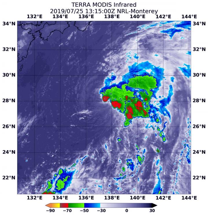
Credit: Credit: NASA Worldview, Earth Observing System Data and Information System (EOSDIS)
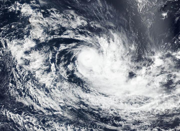
Tropical Cyclone Savannah weakened and “lost” its eye as high clouds filtered over it. NASA-NOAA’s Suomi NPP satellite passed over the Southern Indian Ocean and captured a visible image of the tropical storm that revealed high clouds had moved over its eye.
Wind shear weakened Tropical Storm Savannah and satellite imagery showed that it had become slightly elongated with clouds pushing southeast of the center. In general, wind shear is a measure of how the speed and direction of winds change.
On March 18, the Visible Infrared Imaging Radiometer Suite (VIIRS) instrument aboard the Suomi NPP satellite showed that Savannah still had a defined center, although the storm appeared somewhat elongated to the southeast, as a result of northwesterly winds. Visible imagery showed bands of thunderstorms were wrapping around the center, but the eye disappeared.
The Joint Typhoon Warning Center, noted that “animated multispectral satellite imagery showed the system continued to weaken as deep rain bands unraveled and the eye, albeit discernible, became cloud-filled.”
At 11 a.m. EDT (1500 UTC) Tropical Cyclone Savannah was located near latitude 17.7 degrees south and longitude 87.7 degrees east. That’s approximately 1,115 nautical miles east-southeast of Diego Garcia, has tracked west-southwestward. Maximum sustained winds were near 60 knots (69 mph/111 kph) and the storm is on a weakening trend.
Savannah is forecast to continue to track west-southwestward and increasing vertical wind shear is expected to adversely affect the storm. The JTWC said that the overall unfavorable environment will gradually weaken Savannah leading to dissipation by four days (March 22), possibly sooner.
###
Media Contact
Rob Gutro
[email protected]
Original Source
https:/


