Credit: Image: NASA Worldview
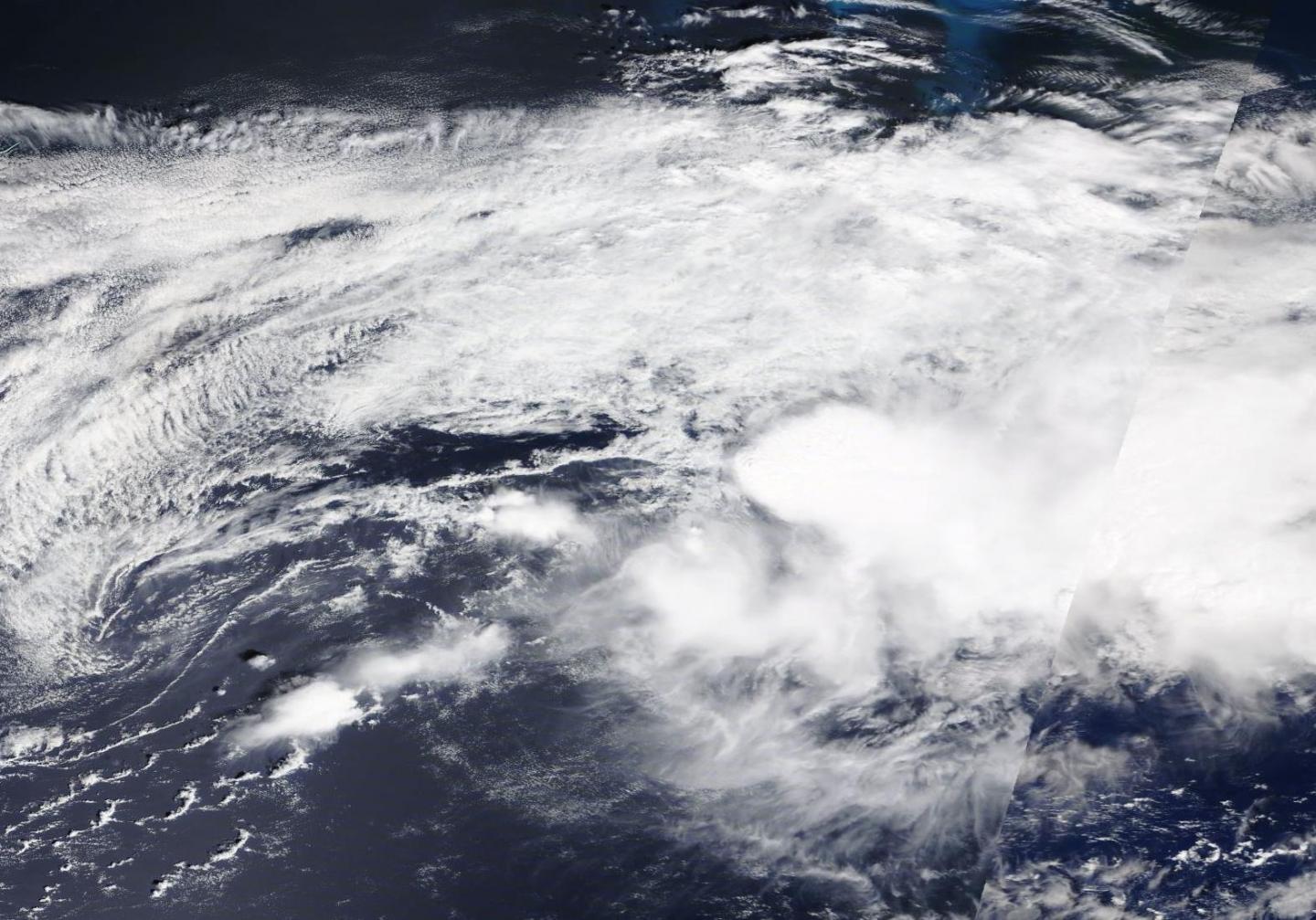
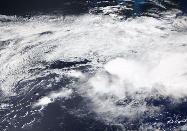
NASA’s Terra satellite provided a visible image of the end of Post-tropical Storm Kyle in the North Atlantic Ocean on Aug. 16.
Kyle was a tropical storm for only one day, when it formed a couple of hundred miles off the coast of Rhode Island on Aug. 15. The next day, Aug. 16, Kyle had become a post-tropical storm.
NHC defines a post-tropical cyclone as a former tropical cyclone. This generic term describes a cyclone that no longer possesses sufficient tropical characteristics to be considered a tropical cyclone. Post-tropical cyclones can continue carrying heavy rains and high winds. Two classes of post-tropical cyclones include extratropical and remnant low pressure areas.
On Sunday, Aug. 16, at 5 a.m. EDT (0900 UTC), the National Hurricane Center issued the final advisory on Kyle. The center of Post-Tropical Cyclone Kyle was located near latitude 40.0 degrees north and longitude 58.9 degrees west. The post-tropical cyclone was moving toward the east near 20 mph (31 kph). The estimated minimum central pressure is 1003 millibars. Maximum sustained winds had decreased to near 40 mph (65 kph) with higher gusts.
The Moderate Resolution Imaging Spectroradiometer or MODIS instrument that flies aboard NASA’s Terra satellite captured a visible image of Kyle at 2:30 p.m. EDT on Aug. 16 and the storm’s circulation had become very elongated. The center had become ill defined.
Model analyses and satellite imagery suggested on Aug. 16 that the low-pressure area became attached to a prominent warm/stationary front to its east and a weaker trailing cold front to its southwest. As a result, Kyle had become an extratropical low-pressure area.
By Monday morning, Aug. 17, Kyle had dissipated.
###
By Rob Gutro
NASA’s Goddard Space Flight Center
Media Contact
Rob Gutro
[email protected]
Original Source
https:/


