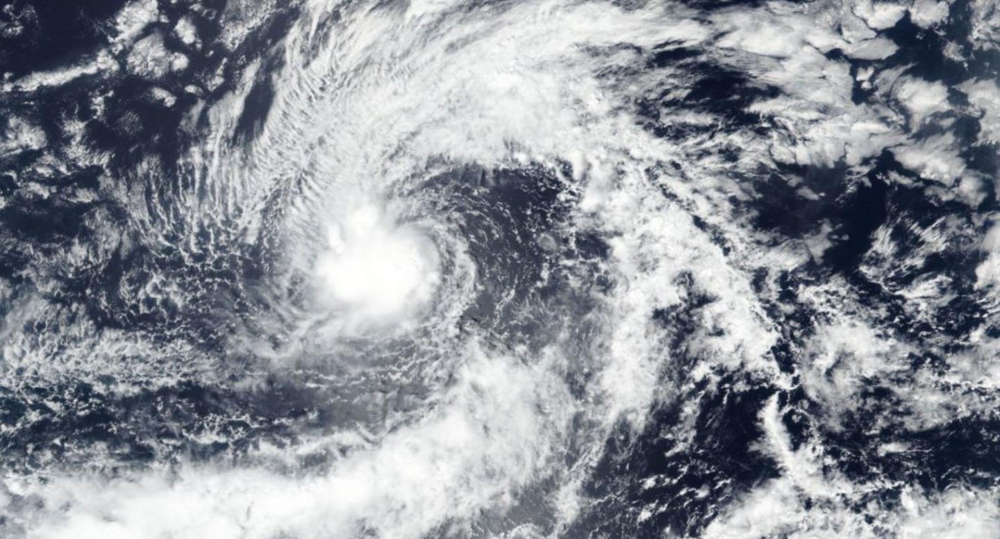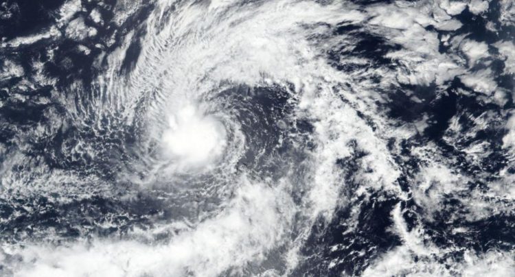
Credit: Credit: NASA Worldview, Earth Observing System Data and Information System (EOSDIS)
NASA-NOAA’s Suomi NPP satellite imagery revealed that Tropical Storm Kiko had a tight circulation center.
The Visible Infrared Imaging Radiometer Suite (VIIRS) instrument aboard Suomi NPP provided a visible image of Kiko on Sept. 22 that revealed the storm consisted of a tight circulation of low clouds with intermittent bursts of deep convection. The VIIRS image showed some powerful storms circled the low-level center and a large band of thunderstorms were located over the northern quadrant of the storm.
By early on Sept. 23, Kiko’s structure had improved on satellite imagery.
NOAA’s National Hurricane Center or NHC said, “At 11 a.m. EDT (1500 UTC) on Sept. 23 the center of Tropical Storm Kiko was located near latitude 15.7 north, longitude 135.8 west.
That is about 1,755 miles (2,825 km) west-southwest of the southern tip of Baja California, Mexico. Kiko is moving toward the west-northwest at near 8 mph (13 km/h). This general motion is expected today, followed by a turn toward the northwest on Tuesday. Kiko could begin to turn back toward the west in a few days as it weakens. Maximum sustained winds are near 50 mph (85 kph) with higher gusts. The estimated minimum central pressure is 1002 millibars.
NHC said some additional strengthening is possible today, but weakening is forecast to begin by Tuesday and Kiko is forecast to become a remnant low later this week.
Hurricanes are the most powerful weather event on Earth. NASA’s expertise in space and scientific exploration contributes to essential services provided to the American people by other federal agencies, such as hurricane weather forecasting.
For updated forecasts. visit: http://www.
###
Media Contact
Rob Gutro
[email protected]
Original Source
https:/


