Credit: NASA Worldview, Earth Observing System Data and Information System (EOSDIS)
A new animation of nighttime imagery from NASA-NOAA’s Suomi NPP satellite followed the path of former Hurricane Laura from its landfall in southwestern Louisiana to its movement over the Mississippi Valley.
As Laura tracks across the eastern U.S., it is generating heavy rain and has triggered watches.
On Aug. 28, Flash Flood Watches were posted for portions of northeast Arkansas, southeast Missouri, western Kentucky and Tennessee, northern of Mississippi, and northwest Alabama.
NASA’s Night-Time Imagery Tracks Laura
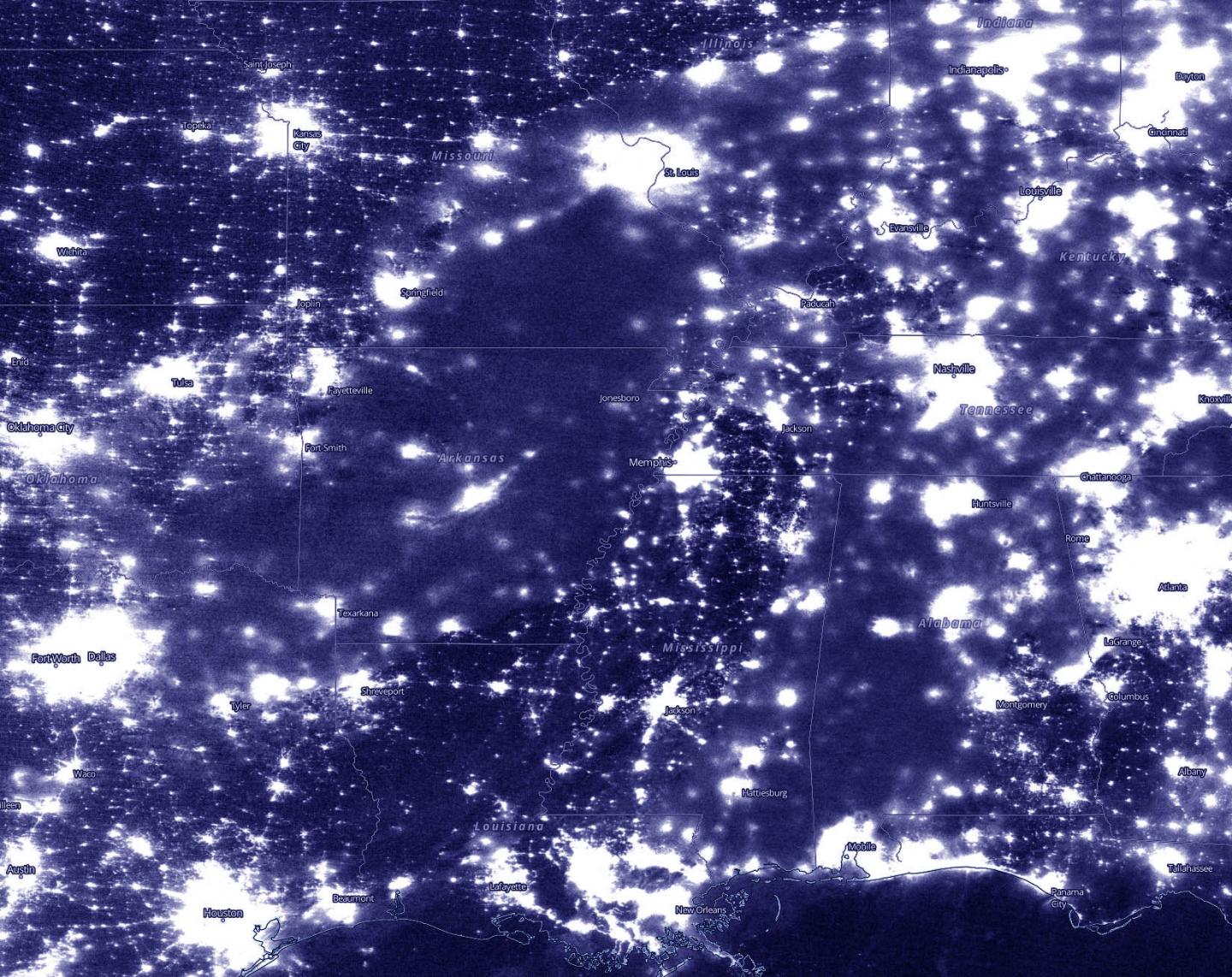
The Visible Infrared Imaging Radiometer Suite (VIIRS) instrument aboard Suomi NPP provided days of infrared nighttime imagery of the now former hurricane Laura. Using the Worldview Application at NASA’s Goddard Space Flight Center, Greenbelt, Md. an animation was created of nighttime imagery from Aug. 23 to 28, 2020 (0000 UTC) that showed the track of Hurricane Laura from the landfall and movement from southwestern Louisiana to the Mississippi Valley.
Tropical Depression Laura’s Status on Aug. 28
At 11 a.m. EDT (1500 UTC) on Aug. 28, NOAA’s Weather Prediction Center (WPC) noted the center of Tropical Depression Laura was located near latitude 36.6 north, longitude 90.5 west. That puts the center about 85 miles (140 km) northwest of Memphis, Tenn. and about 105 miles (170 km) west-southwest of Paducah, Kentucky. The depression was moving toward the east-northeast near 20 mph (31 km/h) and this motion is expected to continue as Laura tracks along and south of the Ohio Valley through tonight. Maximum sustained winds were near 30 mph (45 kph) with higher gusts. The estimated minimum central pressure is 1001 millibars.
Hazards Laura Brings Along its Path
NOAA’s WPC provided a look at the hazards that Tropical Depression Laura is expected to bring along its path toward the Atlantic Ocean over the next 2 days: “Expect 1 to 3 inches, with isolated 5-inch totals from western and central Kentucky and Tennessee into northern Alabama and Mississippi. One to 2 inches, with isolated 4-inch totals are possible over southern parts of Louisiana, Mississippi, and Alabama. By Saturday, 1 to 3 inches of rain is forecast from the central and southern Appalachians to the Mid-Atlantic States. This rainfall will continue to contribute to isolated flash and urban flooding, and overflow of small streams and creeks across the aforementioned regions. Minor to moderate river flooding is occurring or forecast in Louisiana and Arkansas.
Gusty winds of 25-30 mph will accompany Laura’s circulation as it moves toward the Lower Ohio Valley through the afternoon. Stronger gusts are possible within thunderstorms.
A few tornadoes remain possible, mainly over parts of Mississippi, Tennessee and southern Kentucky. The risk for a couple of tornadoes should redevelop Saturday afternoon and evening over parts of the mid-Atlantic from Virginia to North Carolina.”
Forecast for Laura
Eventually, the remains of Laura will cross the central Appalachians Saturday, before becoming absorbed by an approaching cold front that is forecast to move off the mid-Atlantic coastline by late Saturday.
###
About NASA’s EOSDIS Worldview
NASA’s Earth Observing System Data and Information System (EOSDIS) Worldview application provides the capability to interactively browse over 700 global, full-resolution satellite imagery layers and then download the underlying data. Many of the available imagery layers are updated within three hours of observation, essentially showing the entire Earth as it looks “right now.”
NASA Researches Earth from Space
For more than five decades, NASA has used the vantage point of space to understand and explore our home planet, improve lives and safeguard our future. NASA brings together technology, science, and unique global Earth observations to provide societal benefits and strengthen our nation. Advancing knowledge of our home planet contributes directly to America’s leadership in space and scientific exploration.
For updated forecasts, visit: http://www.
By Rob Gutro
NASA’s Goddard Space Flight Center
Media Contact
Rob Gutro
[email protected]
Original Source
https:/


