Credit: NASA/NOAA/NRL
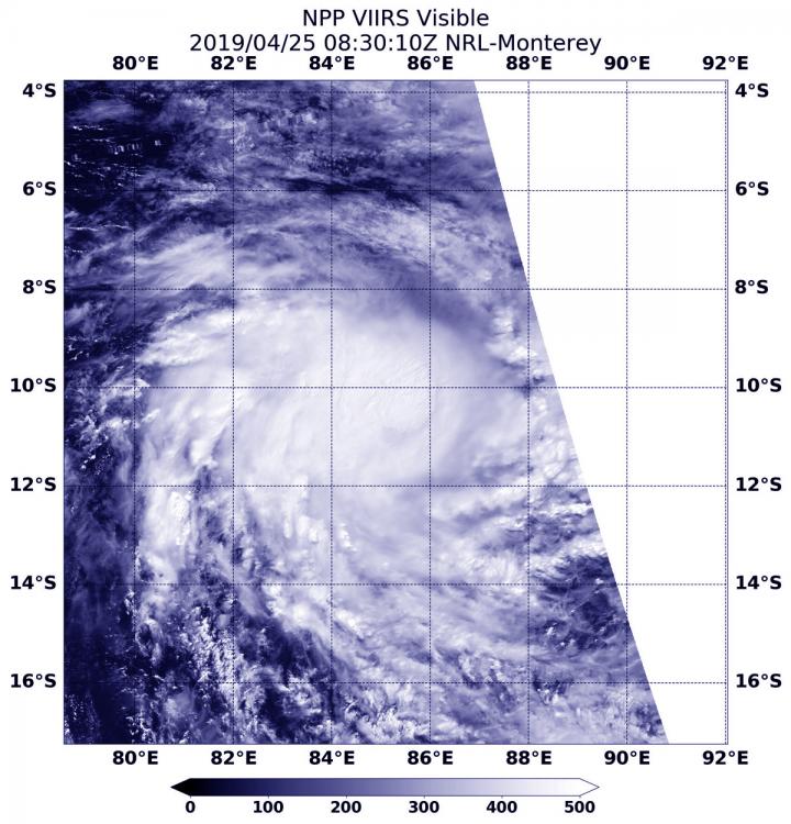
NASA-NOAA’s Suomi NPP satellite passed over the Southern Indian Ocean and captured a visible image of what appeared to be a more organized Tropical Cyclone Lorna.
The Suomi NPP satellite flew over Lorna on April 25 at 4:30 a.m. EDT (0830 UTC) and the Visible Infrared Imaging Radiometer Suite (VIIRS) instrument provided a visible image of the storm. The VIIRS image showed a more circular storm, indicating that the storm was consolidating and strengthening. Microwave data revealed an eye feature.
At 11 a.m. EDT (1500 UTC) on April 25, Tropical Cyclone Lorna was centered near 10.8 degrees south latitude and 85.9 degrees east longitude, about 824 miles east-southeast of Diego Garcia. Lorna was moving to the east-southeast and had maximum sustained winds 50 knots (57 mph/92 kph).
Lorna is no threat to land areas. Lorna is expected to move southeast while strengthening to 75 knots (86 mph/139 kph) attaining hurricane strength. After three days, the storm will turn south and become extra-tropical.
###
Media Contact
Rob Gutro
[email protected]
Original Source
https:/


