Credit: Credit: JAXA/NASA Worldview
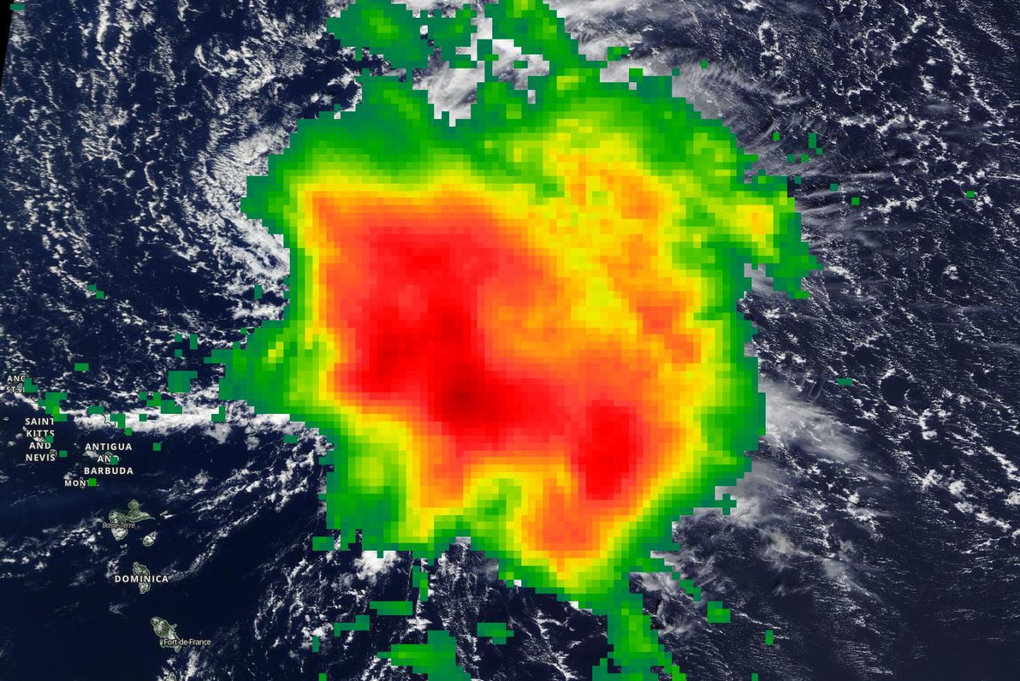
NASA found moderate rainfall occurring over a large area in Tropical Storm Sebastien, as it moves through the Atlantic Ocean.
NASA has the unique ability to measure and calculate rainfall rates in storms from the Global Precipitation Measurement mission or GPM satellite. That data is combined with data from other satellites to form NASA’s Integrated Multi-satellitE Retrievals for GPM (IMERG) forecast .
The near-real time rain estimate comes from the NASA’s IMERG algorithm, which combines observations from a fleet of satellites, in near-real time, to provide near-global estimates of precipitation every 30 minutes. By combining NASA precipitation estimates with other data sources, we can gain a greater understanding of the major storms that affect our planet.
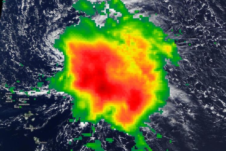
When IMERG analyzed Tropical Storm Sebastien on Nov. 19, calculations indicated moderate rainfall occurring. Rainfall rates around 17.0 mm or 0.7 inches per hour were falling east of the center. Sebastien continues to struggle with dry air and northwesterly wind shear, with satellite imagery showing an exposed low-level center to the west of the deep convection.
Sebastien’s Status on Nov. 20
NOAA’s National Hurricane Center or NHC reported on Nov. 20 at 5 a.m. EST (0900 UTC), the center of Tropical Storm Sebastien was located near latitude 21.0 degrees north and longitude 61.0 degrees west. That is about 235 miles (380 km) northeast of the Northern Leeward Islands.
Sebastien is moving toward the northwest near 8 mph (13 kph). A turn to the north-northwest and then north is expected later today. A turn toward the northeast with an increase in forward speed is expected tonight and Thursday. Maximum sustained winds have increased to near 50 mph (85 kph) with higher gusts. Some strengthening is forecast during the next 48 hours. Tropical-storm-force winds extend outward up to 150 miles (240 km) from the center. The estimated minimum central pressure is 1002 millibars.
About IMERG
IMERG fills in the “blanks” between weather observation stations. IMERG satellite-based rain estimates can be compared to that from a National Weather Service ground radar. Such good detection of large rain features in real time would be impossible if the IMERG algorithm merely reported the precipitation observed by the periodic overflights of various agencies’ satellites. Instead, what the IMERG algorithm does is “morph” high-quality satellite observations along the direction of the steering winds to deliver information about rain at times and places where such satellite overflights did not occur. Information morphing is particularly important over the majority of the world’s surface that lacks ground-radar coverage.
Sebastien’s Fate
Sebastien is expected to become an extratropical cyclone in a couple of days and be absorbed by a cold front on Friday, Nov. 22.
Hurricanes are the most powerful weather event on Earth. NASA’s expertise in space and scientific exploration using a fleet of satellites contributes to essential services provided to the American people by other federal agencies, such as hurricane weather forecasting.
###
For more information about NASA’s IMERG, visit: https:/
For local forecasts, visit: http://www.
By Rob Gutro
NASA’s Goddard Space Flight Center
Media Contact
Rob Gutro
[email protected]
Original Source
https:/


