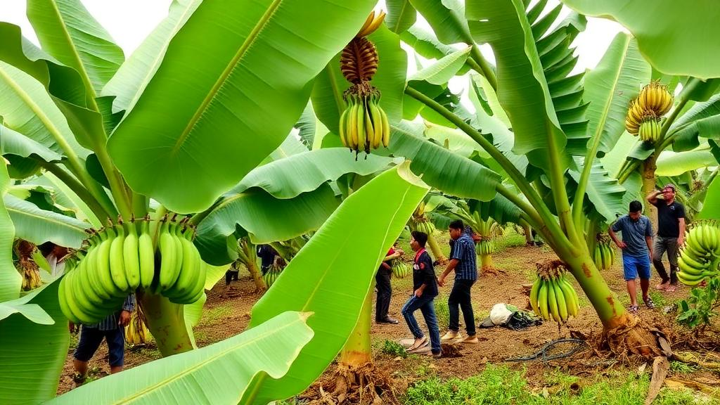
Bananas are more than a fruit in Northeast India. They are woven into religious rituals, household economies, and regional trade networks, and nowhere is this more evident than in Goalpara district in western Assam, a landscape that hosts Daranggiri, once regarded as the largest banana retail market in Asia. Yet despite this heritage, farmers and planners in the district have long relied on tradition and land availability rather than scientific analysis to decide where to plant. A new study published in Discover Soil changes that, offering the first comprehensive, spatially explicit map of where banana cultivation can flourish across Goalpara’s 1,824 square kilometers, and where it is likely to fail.
The research, led by Kalyanjit Sarmah of the Assam Agroforestry Development Board together with colleagues at Assam University, the Assam State Space Application Centre, and Mangaldai College, employed a geographic information system based multi-criteria decision-making approach to evaluate land suitability for banana plants. Rather than treating the district as a uniform banana-friendly zone, the team dissected it into seven thematic layers: soil texture, soil depth, soil pH, soil drainage, soil stoniness, slope, and groundwater status. Each layer captured a different physical dimension of the landscape, and each was weighted according to its influence on banana productivity before being integrated through a weighted overlay technique in ArcMap 10.5.
The weighting scheme is where the agronomic insight lies. Soil texture, drainage, and stoniness received the highest weights of 4, 3, and 2 respectively, because these properties directly control soil aeration, root penetration, and water retention, the three physiological gatekeepers of banana growth. Bananas demand deep, well-drained, friable soils; waterlogged or stony profiles suffocate their root systems and stunt pseudostem development. By contrast, soil depth, pH, slope, and groundwater availability were assigned a weight of 1, reflecting their comparatively uniform and generally favorable distribution across the district. This deliberate emphasis on the most limiting factors, guided by the National Bureau of Soil Survey and Land Use Planning framework and consultations with the State Horticulture Department, ensured the model highlighted genuine constraints rather than averaging away important differences.
Goalpara’s physical geography makes such an analysis essential. The district sits on the southern bank of the Brahmaputra River in the Lower Brahmaputra Valley, within Agro-Ecological Region 15 of the Eastern Himalayan zone. Its climate is humid subtropical, with average maximum temperatures between 24 and 30 degrees Celsius, winter minima between 12 and 24 degrees, and monsoon rainfall from June through September that can push temperatures as high as 36 degrees. Elevations reach 510 meters, and the terrain ranges from flat alluvial plains near the river to undulating uplands toward the Meghalaya border. This heterogeneity means that two villages only a few kilometers apart can present radically different prospects for a banana plantation.
When the weighted layers were combined, the district resolved into four suitability classes: highly suitable, moderately suitable, marginally suitable, and not suitable. The headline finding is that 4,124.61 hectares of Goalpara qualify as highly suitable for banana cultivation, but that land is strikingly concentrated. Matia Circle alone contains 2,476.62 hectares of prime banana territory, followed by Dudhnoi with 1,418.56 hectares, Rangjuli with 154.66 hectares, Lakhipur with 49.31 hectares, and Balijana with just 25.46 hectares. The highly suitable zones share a signature: flat terrain, deep and well-drained alluvial soils, and low stoniness, precisely the conditions the weighting scheme predicted would matter most.
The spatial contrast between circles tells a story about micro-topography and soil management. Marginal and unsuitable areas are constrained by poor drainage, higher soil stoniness, and unfavorable local relief, conditions that raise input costs and depress yields even under otherwise favorable subtropical skies. Most striking is Balijana Circle, which contains approximately 3,838.27 hectares of marginally suitable land. The study’s authors argue this represents a substantial opportunity rather than a dead end: with targeted interventions such as improved drainage systems, better soil management, and appropriate agronomic practices, these marginal lands could be upgraded into higher suitability classes, effectively unlocking a second banana heartland within the district.
The findings align closely with international evidence on what governs banana productivity. Research in Venezuela by Olivares and colleagues demonstrated that physical and biological soil properties are key determinants of banana yields, while a biophysical land evaluation in Andhra Pradesh by Bhaskar and coauthors identified soil depth, texture, drainage, alkalinity, and organic carbon as critical constraints, noting that shallow soils, coarse fragments, and poor drainage significantly limit productivity, particularly in semi-arid conditions. The Goalpara study echoes these conclusions from a humid subtropical setting, reinforcing the idea that soil texture, drainage, and stoniness are near-universal arbiters of banana success across climates.
But the Venezuelan comparison also exposes a gap in the model. Olivares and colleagues showed that Fusarium wilt, including the devastating TR4 strain, is highly sensitive to agro-environmental conditions, especially excessive moisture and poor drainage. The same waterlogged conditions that constrain banana roots in Goalpara could also foster disease outbreaks, meaning a suitability map built solely on soil and terrain parameters may overestimate sustainable cultivation potential. The authors acknowledge this limitation candidly, noting that their model excludes soil biological properties and phytosanitary risks, and they call for future assessments to integrate disease-risk mapping alongside soil suitability to improve the robustness of site selection.
Management factors add another layer of complexity. Agronomic literature, including work by Arvanitoyannis and Mavromatis on banana cultivation practices and studies of crop structure in Mexican maize systems, indicates that genotype selection, planting density, field preparation, and post-harvest handling can explain substantial yield variability, sometimes more than environmental variables themselves. The Goalpara model captures where the land is capable of supporting bananas, but not how cultivar choice or planting strategy might interact with those capabilities. The authors suggest that future work should weave agronomic and management dimensions into the environmental framework, moving from a static land inventory toward a dynamic decision-support tool.
The practical implications are considerable. India produces roughly 29.78 million metric tons of bananas annually, about 29.19 percent of global production according to FAO figures, and Assam alone had 47,900 hectares under banana cultivation in 2010-11. Yet Goalpara, the state’s leading banana-producing district, remains underutilized relative to its potential, with Matia Circle’s vast highly suitable area producing well below capacity. The study also points to land-use strategy: not all land categories are appropriate, and cultivable wastelands such as scrubland and grassland offer the greatest scope for expansion. If the district optimized its suitable land in an initial development phase, the authors estimate it could potentially meet the banana demand of the entire state of Assam without external supply, while strengthening integration with the Daranggiri market. In a region where traditional farming systems are increasingly vulnerable to climate stresses, a data-driven map of where the land says yes, and where it says not without help, may prove as valuable as any new cultivar.
Subject of Research: GIS-based agro-climatic land suitability analysis for banana cultivation in Goalpara district, Assam, India
Article Title: Spatial analysis of agro-climatic land suitability for banana plants in Goalpara district, Assam, North East India
Article References: Sarmah, K., Kashyap, P. J., Sarma, R., & Sarma, P. K. (2026). Spatial analysis of agro-climatic land suitability for banana plants in Goalpara district, Assam, North East India. Discover Soil, 3(1), Article 99. https://doi.org/10.1007/s44378-026-00262-5
Image Credits: AI Generated
DOI: 10.1007/s44378-026-00262-5
Keywords: banana cultivation, land suitability analysis, GIS, multi-criteria decision-making, Goalpara district, Assam, soil texture, soil drainage, weighted overlay, Northeast India, agro-climatic zoning, sustainable agriculture
News Source: Alan Morgan. (October 8, 2026). GIS Mapping Reveals Where Bananas Thrive in Assam’s Goalpara District. Scienmag.