In a world increasingly besieged by climate extremes, the imperative for swift and accurate flood prediction models has never been more urgent. Recent advancements spearheaded by researchers Wang, Lian, Yuan, and their colleagues mark a significant leap in the domain of flood simulation. Their groundbreaking study, published in the International Journal of Disaster Risk Science (2025), introduces a novel methodology that integrates the spatial and temporal characteristics of inundation, enabling rapid yet precise simulation of flood events. This advancement promises to revolutionize disaster preparedness and response frameworks worldwide.
Flooding remains one of the most devastating natural disasters globally, causing widespread destruction, loss of life, and economic upheaval. Traditional flood modeling techniques often grapple with the trade-off between accuracy and computational efficiency. Detailed hydrodynamic models provide meticulous results but demand intensive computing resources and time—luxuries not available in fast-unfolding flood emergencies. Conversely, simplified models run quickly but often lack spatial and temporal granularity, resulting in less actionable insights during crises.
The study by Wang et al. addresses these limitations head-on by proposing a rapid simulation framework that meticulously captures how inundation spreads across landscapes over time. Unlike conventional models that either ignore or oversimplify spatial heterogeneity and time-dependent flood behavior, this approach mathematically characterizes the evolving floodplain, leveraging state-of-the-art algorithms and high-resolution topographic data. The result is a simulation model that runs in near real-time without sacrificing critical details necessary for effective emergency management.
.adsslot_zpaLYvTMZy{ width:728px !important; height:90px !important; }
@media (max-width:1199px) { .adsslot_zpaLYvTMZy{ width:468px !important; height:60px !important; } }
@media (max-width:767px) { .adsslot_zpaLYvTMZy{ width:320px !important; height:50px !important; } }
ADVERTISEMENT
One of the key innovations lies in the model’s handling of spatial variability. Floodwaters rarely blanket terrain uniformly; instead, they follow complex paths dependent on microtopography, land use, and hydrological connectivity. Wang and colleagues employ sophisticated spatial interpolation techniques coupled with dynamic mesh refinement to ensure the model accurately reflects these physical realities. This enables the simulation to pinpoint vulnerable zones and predict inundation depths with enhanced precision across vast, diverse landscapes.
Temporally, the new model tracks the progression of floodwaters with fine granularity, capturing the dynamic nature of rising and receding events. By incorporating real-time rainfall and river discharge data streams, the system continuously updates inundation forecasts, thereby providing emergency planners and responders with a live picture of flood evolution. This temporal acuity helps in anticipating critical thresholds such as breaching of levees or onset of flash floods, allowing preemptive action.
The computational efficiency achieved is partly due to algorithmic optimizations that streamline numerical calculations without degrading simulation fidelity. Wang et al. utilize parallel processing and adaptive timestep strategies, ensuring that simulation speed scales with computational resources. As a result, the model can be deployed on standard computing infrastructures, including cloud-based platforms, facilitating widespread accessibility and rapid deployment during flood events.
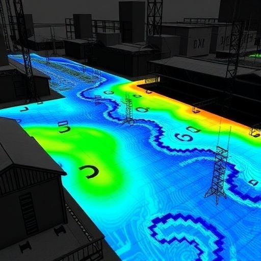
Beyond its core technical sophistication, the model’s usability is enhanced through an intuitive interface designed for disaster management professionals. It generates easily interpretable visualizations such as inundation maps, temporal flood extent charts, and risk heatmaps. Such outputs are invaluable for decision-making, enabling authorities to prioritize evacuations, allocate rescue resources, and design flood mitigation measures with unparalleled foresight.
Importantly, the researchers validated their simulation framework using historical flood events across several geographically and climatically diverse regions. These case studies demonstrated the model’s robust performance in replicating observed inundation patterns and timing, outperforming existing benchmark models. The strong correlation between predicted and actual flood extents underscores the method’s potential for operational use during emergent flood scenarios.
The study also explores the integration of remote sensing data to further enhance model inputs and calibration. Satellite imagery and LiDAR-derived elevation models offer rich datasets on terrain features and vegetation cover, which influence flood dynamics significantly. By fusing these data into the simulation workflow, Wang and colleagues elevate the model’s spatial resolution and contextual accuracy, creating a cohesive system that leverages cutting-edge geospatial technologies.
Climate change scenarios were examined within the simulation framework, highlighting the model’s utility in future planning. Predicted increases in extreme precipitation events necessitate adaptive infrastructure and policy measures. The rapid simulation tool allows stakeholders to test “what-if” scenarios under varied climate projections, informing resilient design strategies and floodplain management policies with quantitative evidence.
The implications of this research extend beyond academia into practical realms of civil engineering, urban planning, and emergency response. Rapid and accurate flood simulations can guide the strategic placement of barriers, design of drainage networks, and zoning regulations. Furthermore, real-time flood modeling can feed into early-warning systems that save lives by alerting communities ahead of catastrophic inundation.
However, the authors acknowledge certain challenges remain. Data availability and quality, especially in developing regions, can limit model applicability. The reliance on continuous hydrometeorological inputs means that disruptions in measurement networks may degrade forecast accuracy. Future work includes developing robust data assimilation techniques to mitigate these issues and exploring machine learning integrations to enhance predictive capabilities.
Overall, the research by Wang and collaborators signifies a milestone in flood risk science, blending deep physical understanding with computational prowess. By capturing the nuanced spatial and temporal patterns of floods rapidly and reliably, their simulation framework empowers communities and governments worldwide to better anticipate, prepare for, and respond to one of nature’s most formidable threats. In a future marked by uncertainty and environmental volatility, such tools will be indispensable for safeguarding lives and livelihoods.
This pioneering work also exemplifies the potential of interdisciplinary collaboration, merging hydrology, computer science, geomatics, and disaster risk management. It is a testament to how complex global challenges demand integrative approaches and innovation. As this simulation model advances into broader adoption, it could redefine standards of flood forecasting and herald a new era of proactive disaster resilience.
In conclusion, the study’s emphasis on the spatial and temporal characteristics of inundation introduces a paradigm shift in flood modeling. No longer must emergency responders choose between the speed of computation and the fidelity of simulation. Thanks to these advancements, rapid, high-resolution flood prediction is now within reach, opening pathways to smarter urban development, improved emergency response, and ultimately, enhanced protection for vulnerable populations worldwide.
Subject of Research: Rapid simulation methods for flood modeling considering spatial and temporal flood inundation characteristics.
Article Title: Rapid Simulation of Floods by Considering the Spatial and Temporal Characteristics of Inundation.
Article References:
Wang, R., Lian, J., Yuan, X. et al. Rapid Simulation of Floods by Considering the Spatial and Temporal Characteristics of Inundation. Int J Disaster Risk Sci (2025). https://doi.org/10.1007/s13753-025-00642-5
Image Credits: AI Generated
Tags: accurate flood modeling advancementsclimate change and flood managementclimate extremes and floodingcomputational efficiency in flood simulationsdisaster preparedness and responseflood simulation techniqueshydrodynamic modeling efficiencyinundation spread across landscapesnatural disaster risk sciencerapid flood prediction modelsspatial and temporal flood characteristicsWang et al. flood study


