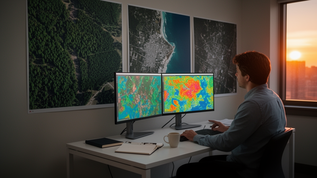
A systematic review published in the journal Discover Imaging argues that deep learning has effectively solved the easy part of satellite image analysis, while leaving the hard part—generalizing beyond the benchmark datasets where it shines—largely untouched. The survey, led by S. V. B. Subrahmanyeswara Rao and colleagues, synthesizes more than thirty peer-reviewed studies published between 2015 and 2025 and organizes the field into a single taxonomy spanning hand-crafted spectral indices, convolutional neural networks, vision transformers, self-supervised methods, and, for the first time in this literature, diffusion-based generative models.
The headline numbers are striking. On EuroSAT, a benchmark of 27,000 labelled Sentinel-2 images covering ten land use and land cover classes, multiple studies now report accuracies above 97 percent. Engelbrecht and colleagues reached 97.815 percent with a configurable residual architecture called LandNet that ingests spectral bands beyond RGB, while Vir achieved 97.23 percent using balanced multitask attention without any pretraining. On the UC Merced land use dataset, the hybrid ConvCat model, which fuses convolutional feature extraction with CatBoost gradient boosting, hit 97.44 percent, and 96.89 percent on the harder RESISC45 set of 45 scene classes drawn from Google Earth imagery.
Yet the review’s most practically significant finding is almost mundane: preprocessing matters more than architecture. Drawing on a comprehensive benchmarking study by Corley and colleagues across seven remote sensing datasets, the authors show that simply resizing images to the 224-by-224 pixel dimensions used in ImageNet pretraining and applying channelwise normalization can swing overall accuracy by more than 32 percentage points on the So2Sat dataset of 400,673 Sentinel-2 patches covering 17 urban land use classes. ImageNet pretraining with this discipline proved competitive with, or superior to, specialized self-supervised pretraining such as MoCo-v2 on SSL4EO data, meaning practitioners can often skip domain-specific pretraining entirely.
The reason such a simple step matters so much lies in how the field evolved. Before 2012, remote sensing analysis rested on hand-crafted features: vegetation and water indices like NDVI and NDWI, gray-level co-occurrence texture statistics, and classifiers such as support vector machines, random forests, and maximum likelihood. AlexNet’s victory in the 2012 ImageNet challenge triggered a decade of migration toward networks that learn hierarchical representations directly from pixels. Residual networks with 50 to 152 layers solved vanishing gradients, U-Net’s encoder-decoder structure with skip connections came to dominate pixel-level segmentation, and attention mechanisms and vision transformers introduced ways to model long-range dependencies that convolutions capture only indirectly.
Segmentation results illustrate how far lightweight design has come. In a study of high-mountain lake segmentation in Peru’s Ancash and Cuzco regions using a custom Landsat-8 dataset spanning 2013 to 2023, Perez-Torres and colleagues found that WatNet, a U-Net variant with only 3.4 million parameters, matched the heavier DeepWaterMapV2 while achieving IoU scores of 89.7 percent in conditions notorious for snow confusion, cast shadows, and thin ice boundaries. The same group demonstrated WaterSegDiff, a diffusion-based segmentation model, marking one of the first appearances of denoising diffusion probabilistic models in this application area. Anitha and colleagues added spatial and channel attention modules to U-Net to weight spectral bands by importance for water delineation from multispectral imagery.
The review is candid about what those benchmark victories conceal. Models trained on European or North American data frequently underperform when applied to equatorial or arid landscapes outside their training distribution, a domain shift problem driven by differences in land cover, climate zones, phenology, atmosphere, and sensor characteristics. The reviewed literature offers little quantitative analysis of cross-domain generalization. Geographic bias is baked into the benchmarks themselves: EuroSAT, BigEarthNet with its 590,326 Sentinel-2 patches across ten European countries, UC Merced, and RESISC45 all concentrate on well-mapped Western regions, and the authors warn that iterative optimization against fixed test sets risks inflating reported accuracy without improving real-world capability.
Spectral information presents a second paradox. Multispectral sensors such as Sentinel-2 capture 13 bands from visible blue through shortwave infrared, and hyperspectral instruments record hundreds of narrow contiguous bands, yet the payoff from using them remains modest. Engelbrecht’s LandNet gained only about one percentage point on EuroSAT by adding nine Sentinel-2 bands beyond RGB, and recall improved by 0.04 on BigEarthNet. The review concludes that architectures designed around RGB natural images simply do not exploit spectral richness, and calls for spectral attention mechanisms, three-dimensional convolutions that treat the spectral dimension explicitly, and hybrid spectral-spatial designs. Dedicated coverage of hyperspectral classification, including morphologically dilated convolutional networks and transformer models using logarithmic convolutions, is one of the survey’s stated differentiators from earlier reviews.
Label scarcity compounds the problem. Annotating satellite imagery demands expert knowledge and is expensive, especially for pixel-level segmentation masks, which motivates the growing interest in self-supervised and semi-supervised learning. Wang and colleagues’ review catalogues pretext tasks from temporal consistency prediction to spectral band reconstruction. Zhang and colleagues showed that prompt-enhanced self-supervised pretraining reduces the labelled data needed for fine-tuning, and Gupta’s MoSAiC extends contrastive learning to multilabel scenes where patches contain several land cover types simultaneously. On the semi-supervised side, MSMatch tackles multispectral classification with few labels, and Bernhard and colleagues exploit geographic location and acquisition time as auxiliary supervision signals. The practical barrier, the authors note, is computational: pretraining on large satellite archives requires GPU resources beyond typical academic budgets, though publicly released checkpoints could accelerate adoption.
Efficiency emerges as the quiet constraint on everything else. The review’s comparison tables track FLOPs, parameter counts, memory usage, and training time alongside accuracy, and identify EfficientNet-B0 as offering an optimal balance at 97.45 percent accuracy with a 30 percent training time reduction, while MobileNetV2 and SqueezeNet suit resource-constrained edge deployment. Real-time semantic segmentation surveys emphasize the trade-off between heavyweight models such as DeepLab and PSPNet and lightweight options like ENet and BiSeNet. Hybrid approaches keep proving their worth: Kumar’s combination of ant colony optimization with a region-based CNN reached 93.2 percent accuracy for environmental monitoring, outperforming traditional methods by 8.7 percent while cutting computational time by 25 percent.
The authors close with a research agenda that reads as a diagnosis of the field’s blind spots: domain adaptation and meta-learning for cross-region transfer, spectral-aware architectures, temporal modelling with recurrent networks for change detection and phenological monitoring, interpretable models—no study in their top 30 focused primarily on explainability—uncertainty quantification, and geographically diverse, multitemporal, fine-grained benchmarks. Until those exist, they argue, accuracy figures reported on EuroSAT or UC Merced should be read as upper bounds under idealized conditions rather than proxies for operational performance. For a field whose stated purpose is evidence-based environmental monitoring at global scale, that distinction may be the review’s most important contribution.
Subject of Research: A systematic review of deep learning and traditional image processing methods for remote sensing and environmental monitoring
Article Title: Deep learning and traditional methods for remote sensing image analysis
Article References: Rao, S. V. B. S., Rao, T. S., Sowjanya, M., & Aruna, C. V. (2026). Deep learning and traditional methods for remote sensing image analysis. Discover Imaging, 3(1), Article 5. https://doi.org/10.1007/s44352-026-00027-4
Image Credits: AI Generated
DOI: 10.1007/s44352-026-00027-4
Keywords: remote sensing, deep learning, convolutional neural networks, EuroSAT, semantic segmentation, transfer learning, self-supervised learning, hyperspectral imaging, benchmark datasets, vision transformers, diffusion models, environmental monitoring
News Source: Blake Davidson. (October 28, 2026). Deep learning hits 97% accuracy on satellite benchmarks, review finds. Scienmag.