Credit: Credit: NASA Worldview, Earth Observing System Data and Information System (EOSDIS)
NASA-NOAA’s Suomi NPP satellite provided forecasters with a nighttime view of Tropical Depression 13 early on Aug. 21. By 11 a.m. EDT, it had strengthened into Tropical Storm Laura.
NASA’s Night-Time View of Tropical Depression 13
The Visible Infrared Imaging Radiometer Suite (VIIRS) instrument aboard NASA-NOAA’s Suomi NPP satellite provided a nighttime image of Tropical Depression 13 during the early morning hours of Aug. 21. Nighttime imagery showed the structure of Tropical Depression 13 was still somewhat elongated but it had become better organized than it was yesterday although it still lacked well-defined banding features. Nighttime imagery from NASA-NOAA’s Suomi NPP satellite was created using the NASA Worldview application at NASA’s Goddard Space Flight Center in Greenbelt, Md.
When NOAA’s Hurricane Hunters flew over the storm later in the morning, they also found that the center of the storm is located somewhat to the south of previous estimates.
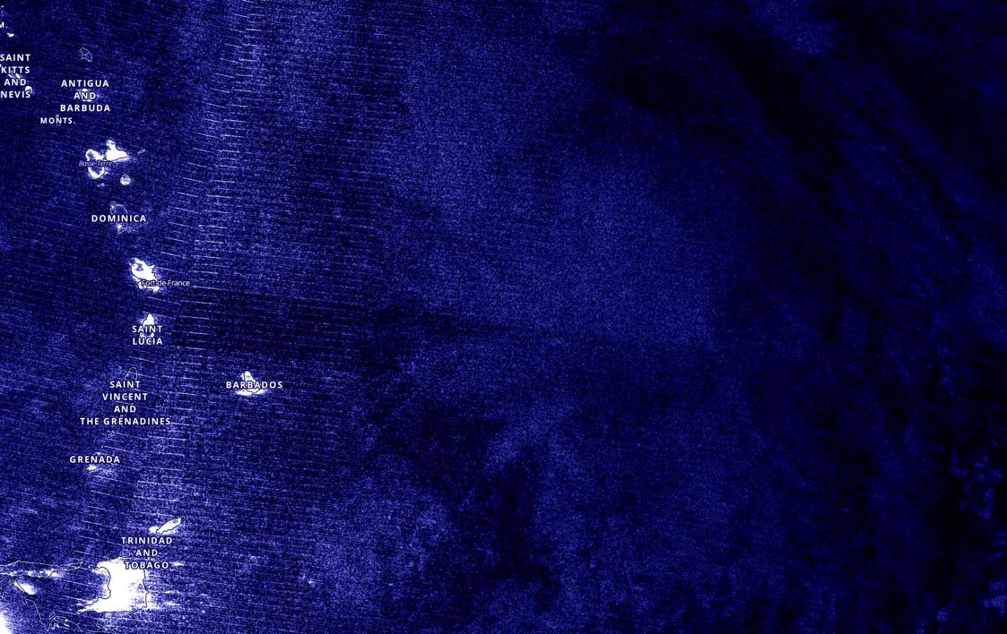
Numerous Watches and Warnings Now in Effect
NOAA’s National Hurricane Center (NHC) has posted many watches and warnings for Laura on Aug. 21. In addition to the U.S., the following governments issued warnings or watches for their islands: Antigua, the Netherlands, France, St. Maarten, Dominican Republic and Haiti.
Tropical Storm Warnings have been issued for Puerto Rico, Vieques, Culebra, and the U.S. Virgin Islands. The government of Antigua has issued a Tropical Storm Warning for Antigua, Barbuda, St. Kitts, Nevis, Anguilla, Montserrat, and the British Virgin Islands. The government of the Netherlands has issued a Tropical Storm Warning for Saba and St. Eustatius. The government of France has issued a Tropical Storm Warning for St. Martin and St. Barthelemy. The government of St. Maarten has issued a Tropical Storm Warning for St. Maarten. The government of the Dominican Republic has issued a Tropical Storm Watch for northern coast of the Dominican Republic from Cabo Cabron to the border with Haiti. The government of Haiti has issued a Tropical Storm Watch for northern coast of Haiti from Le Mole St. Nicholas to the border with the Dominican Republic.
Tropical Storm Laura’s Status on Aug. 21
At 11 a.m. EDT (1500 UTC), the National Hurricane Center (NHC) noted the center of Tropical Storm Laura was located near latitude 17.0 degrees north and longitude 60.2 degrees west. Laura was about 210 miles (335 km) east-southeast of the Northern Leeward Islands.
Laura was moving toward the west near 18 mph (30 kph) and a generally west-northwestward motion at a faster forward speed is expected over the next couple of days. Maximum sustained winds were near 45 mph (75 kph) with higher gusts. Some slow strengthening is forecast during the next 48 hours. Tropical-storm-force winds extend outward up to 150 miles (240 km) from the center. The minimum central pressure estimated from NOAA Hurricane Hunter aircraft observations was 1007 millibars.
Laura’s Forecast Track
NHC Hurricane Forecaster Richard Pasch noted, “Laura is expected to move mainly west-northwestward on the south side of a subtropical high pressure system over the next couple of days. Later in the forecast period, the tropical cyclone should turn toward the northwest as it moves around the western periphery of the high [pressure area].”
On the forecast track, the center of Laura will move near or over the northern Leeward Islands later today, Aug. 21, near or over Puerto Rico Saturday morning, and near the northern coast of Hispaniola late Saturday and early Sunday, Aug. 23.
###
About NASA’s EOSDIS Worldview
NASA’s Earth Observing System Data and Information System (EOSDIS) Worldview application provides the capability to interactively browse over 700 global, full-resolution satellite imagery layers and then download the underlying data. Many of the available imagery layers are updated within three hours of observation, essentially showing the entire Earth as it looks “right now.”
NASA Researches Earth from Space
For more than five decades, NASA has used the vantage point of space to understand and explore our home planet, improve lives and safeguard our future. NASA brings together technology, science, and unique global Earth observations to provide societal benefits and strengthen our nation. Advancing knowledge of our home planet contributes directly to America’s leadership in space and scientific exploration.
For updated forecasts, visit: http://www.
By Rob Gutro
NASA’s Goddard Space Flight Center
Media Contact
Rob Gutro
[email protected]
Original Source
https:/
