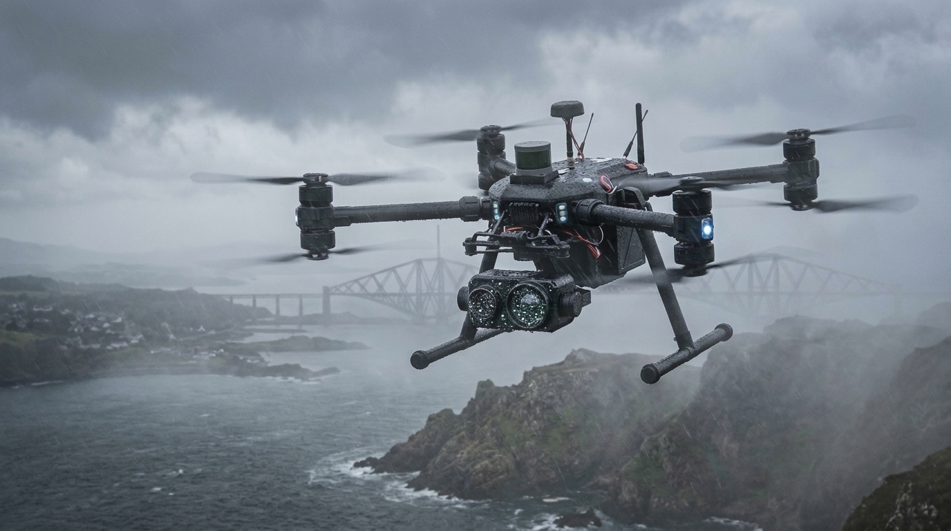
A newly reported training framework called Geo-consistent Weather Augmentation demonstrates that filtering synthetic weather transformations through strict geometric checks improves the visual localization robustness of unmanned aerial vehicles operating in environments denied global navigation satellite systems.
Reliable global visual localization for unmanned aerial vehicles remains vulnerable to domain shifts caused by adverse meteorological phenomena, specifically fog, snow, and nighttime darkness. Specifically, unconstrained generative models can distort structural boundaries and alter underlying object geometry, thereby invalidating essential pixel-level semantic labels required for accurate navigation.
To overcome these generative flaws, the authors designed Geo-consistent Weather Augmentation as a fail-closed framework operating on a Generate–Verify–Filter sequence. Rather than automatically adding every generated weather transformation to the training dataset, the system subjects candidate images to rigorous dual verification. The framework only accepts transformed samples when mask intersection over union and the structural similarity index measure applied to edge maps, termed Edge-SSIM, confirm that critical building geometry has been preserved.
In addition to structural preservation, the verification pipeline enforces a perceptual-shift criterion to ensure that the image-to-image transformation achieves a meaningful change in weather rather than a trivial or imperceptible alteration. Once candidate samples successfully pass both the geometric integrity tests and the perceptual-shift requirement, they are incorporated into the dataset.
Experimental evaluations in cross-domain semantic segmentation demonstrated severe vulnerabilities in conventional training routines when exposed to adverse weather. A baseline training setup without the new augmentation pipeline suffered steep performance degradation, dropping from a mean average precision at an intersection-over-union threshold of 0.50 of 0.826 on original clean images down to 0.397 when evaluated under foggy conditions.
In contrast, mixed-domain training incorporating the Geo-consistent Weather Augmentation framework maintained robust segmentation performance across multiple degraded environments. The augmented YOLOv11 model attained a mean average precision of 0.824 on original images, 0.815 in fog, 0.724 under nighttime conditions, and 0.753 in snowy settings, mitigating the severe accuracy drop observed in the unaugmented baseline.
Visual place recognition experiments conducted on the VPAIR urban benchmark subset confirmed that geometric filtering translates into superior retrieval resilience during adverse weather events. The YOLOv11 model trained with the augmentation pipeline recorded top-1 recall values of 0.121 in fog, 0.139 at night, and 0.125 in snow. Across these adverse settings, the augmented system retained 65.8 percent of its clean-condition localization performance, compared to 46.6 percent retention for the identical YOLOv11 descriptor trained without the augmentation method and 39.4 percent for the MixVPR baseline, although MixVPR achieved higher absolute top-1 recall in clear conditions at 0.210 versus 0.195.
Computational efficiency assessments revealed that the verification stage added 33.07 milliseconds of processing time per candidate image, while online segmentation averaged 6.54 milliseconds on the tested desktop graphics processing unit. The research team noted that while verified geometric consistency provides an effective data constraint for visual navigation under severe weather, further empirical validation on physical embedded platforms and under authentic real-world meteorological conditions remains necessary.
Subject of Research: Robust UAV visual localization under adverse weather using geometric weather augmentation
Article Title: A Geo-consistent Weather Augmentation Method for Improving UAV Localization Robustness under Adverse Meteorological Conditions
Article References: Vozniak, V., Barmak, O., Radiuk, P., & Krak, I. (2026). A Geo-consistent Weather Augmentation Method for Improving UAV Localization Robustness under Adverse Meteorological Conditions. Journal of Intelligent & Robotic Systems. https://doi.org/10.1007/s10846-026-02454-1
Image Credits: AI Generated
DOI: 10.1007/s10846-026-02454-1
Keywords: Unmanned aerial vehicles, Visual localization, Adverse weather, Generative data augmentation, Geometric consistency, Visual place recognition, YOLOv11, Semantic segmentation, GNSS-denied navigation, Edge-SSIM, Intersection over union, Domain shift, Cross-domain segmentation, VPAIR benchmark, Fail-closed verification, Perceptual shift
News Source: Denise Maddox. (November 19, 2026). Verified Geometric Weather Augmentation Improves Drone Visual Localization in Adverse Weather. Scienmag.