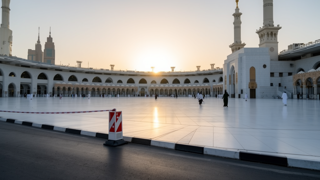
A recent diagnostic study conducted in the central district of Makkah indicates that targeted traffic restrictions, implemented during peak seasonal periods of religious gathering, can lead to substantial reductions in localized air pollutant concentrations. By utilizing the Driver-Pressure-State-Impact-Response (DPSIR) framework, researchers evaluated the environmental consequences of high-density vehicular traffic within a topographically constrained valley environment. The study, which focused on the unique challenges posed by the mass influx of pilgrims during the Hajj season, suggests that a strategically phased Low Emission Zone (LEZ) could effectively mitigate the environmental impacts of heavy-duty diesel transport on this high-density urban core.
To assess the environmental conditions, researchers performed spatial sampling and field measurements at 32 strategic locations within the central area. The team monitored four critical indicators: fine particulate matter (PM2.5 and PM10), carbon monoxide (CO), carbon dioxide (CO2), and acoustic noise levels. These parameters were selected for their direct correlation with the transit-heavy activities that characterize the region. For monitoring, the research team employed professional-grade equipment, specifically using an Extech VPC300 Video Particle Counter for particulate profiling and a portable multi-parameter detector for CO and CO2 concentrations, alongside a Testo 816-1 Sound Level Meter for ambient noise assessment. All devices underwent factory calibration and standard on-site zeroing procedures to ensure measurement reliability during the data collection process.
The study design involved comparing two distinct operational windows. Phase 1 took place on 20 Dhu Al-Qi’dah 1446 AH, representing a baseline peak congestion period that coincided with a regional dust event and extreme seasonal hot-arid conditions. Phase 2 occurred on 2 Dhu al-Hijjah 1446 AH, during which strict traffic cordon restrictions were in place, acting as a real-world proxy for a permanent Low Emission Zone. By contrasting these two periods, the researchers aimed to disentangle the impact of anthropogenic traffic emissions from the broader meteorological context. Statistical validation of the observed changes was achieved through a paired-samples t-test applied to measurements from the 32 monitoring stations, with results confirming that the reductions across all parameters were statistically significant.
Quantitative results from the environmental monitoring revealed marked differences between the baseline and restricted phases. During peak congestion in Phase 1, localized carbon dioxide concentrations reached 1,750 ppm, a level significantly exceeding atmospheric background levels. In the restricted conditions of Phase 2, these hotspots exhibited a pronounced spatial contraction, with maximum localized concentrations dropping to 950 ppm. Similar improvements were observed in noise intensity, which frequently exceeded 95 decibels in busy transit hubs during baseline operations, highlighting the severe acoustic stress experienced by the area. These findings reinforce the efficacy of restricting heavy vehicular access in improving the immediate urban microclimate.
Fine particulate matter (PM2.5 and PM10) showed the most dramatic declines, with counts falling from elevated peaks in Phase 1—driven by both intense diesel bus traffic and a concurrent dust storm—to safe baseline levels under 500 particles during the restricted period. While the researchers acknowledged that the subsidence of the dust storm contributed to this reduction, the strict prohibition of heavy-duty diesel vehicles during Phase 2 fundamentally limited the primary anthropogenic source of particulate emissions. Statistical analysis confirmed that PM2.5 and PM10 levels decreased by 91.7% and 93.1%, respectively, between the two phases. The results suggest that targeted cordon policies effectively remove the direct source of fine particulates, allowing the urban microclimate to recover more rapidly than under standard conditions.
A critical component of the research involved analyzing the carbon footprint of the pilgrim transport fleet. The study identified that the localized shuttle bus fleet, consisting of approximately 3,600 vehicles, generated a carbon footprint four times larger than the inbound regional fleet of 53,000 cumulative entries. This disparity is attributed to the continuous operational cycles and significant idling times of shuttle buses within the city’s confined street canyon geometry. The research highlighted the phenomenon of Deadhead Mileage—the return of empty vehicles to peripheral holding facilities—as a major source of logistical inefficiency. Calculations based on a standard diesel carbon emission factor of 2.68 kg/L indicated that the shuttle fleet produced 57,888 tons of CO2 during the peak period, underscoring the urgent need for internal consolidation centers.
The urban morphology of central Makkah further exacerbates these environmental stressors. The monocentric urban form, dominated by high-density hospitality infrastructure, creates deep street canyons that restrict natural wind ventilation and trap emissions at the pedestrian level. An audit of the land use revealed that asphalt and road infrastructure occupy 25.8% of the study area, while functional green spaces account for less than 1% of the total land. The analysis identifies approximately 2.5 million square meters of vacant land and 800,000 square meters of areas under construction. These underutilized zones present a significant opportunity for urban regeneration, providing the necessary space to implement the green infrastructure and logistics hubs required by a functional LEZ framework without necessitating building demolition.
Based on these diagnostic findings, the study proposes the Makkah Low Emission Zone (M-LEZ) framework, centered on six strategic pillars: spatial reallocation, green infrastructure expansion, service densification, sustainable vertical development, decarbonized mobility, and robust regulatory governance. The framework emphasizes a phased implementation strategy that leverages existing vacant land to create ecological corridors and transit hubs. By transitioning the shuttle bus network to zero-emission electric powertrains, the framework aims to reduce the carbon intensity of local mobility while enhancing the environmental comfort of pilgrims. The study suggests that such interventions can be scaled to fit similar high-density, topographically constrained cities that experience extreme seasonal population fluctuations.
Despite these findings, the researchers noted significant limitations that require future study. The brevity of the monitoring window, restricted to two specific diagnostic days, limits the capacity to capture the full longitudinal variability of the Hajj season. Additionally, the lack of continuous local micrometeorological data—such as wind speed, direction, and specific temperature profiles—makes it difficult to fully isolate the impact of traffic policies from natural weather fluctuations. The study also focused exclusively on the mass transit bus fleet, omitting contributions from decentralized diesel generators and private vehicle traffic. Consequently, the research team emphasized that these results should not be viewed as a universal blueprint but rather as a context-sensitive model requiring further verification through long-term continuous monitoring and Computational Fluid Dynamics (CFD) modeling.
Ultimately, the study concludes that targeted cordon-based controls provide a viable pathway for improving air quality in Makkah’s dense central core. The empirical evidence underscores that a successful transition to an M-LEZ requires an integrated policy approach that bridges the gap between environmental monitoring and actionable urban planning. By aligning transport regulation with sustainable land-use measures, such as the activation of vacant urban spaces, Makkah can enhance its environmental resilience during peak periods while maintaining its economic and spiritual vitality. The proposed framework serves as a reference model for integrating environmental sustainability into faith-based urban planning in topographically and seasonally constrained contexts globally.
Beyond broad zoning strategies, the proposed framework outlines concrete spatial targets to restructure the central district’s built environment. Urban planners model a 20 to 25 percent reduction in vehicular road surface area, which would reclaim approximately one million square meters of asphalt infrastructure. The reclaimed space is earmarked for shaded pedestrian pathways, high-capacity walking corridors, and dedicated lanes for electric shuttles. In parallel, the framework targets expanding functional green spaces from less than one percent to at least five percent of the total urban footprint. This expansion would be achieved by cultivating urban parks on identified vacant parcels, deploying drought-resistant flora for plaza shading, and integrating peripheral mountain parks across the 3.9 million square meters of surrounding rocky terrain to provide natural acoustic and thermal buffering.
The framework also establishes specific quantitative benchmarks to support high-density seasonal crowds and improve emergency resilience. It proposes tripling the healthcare infrastructure from its current baseline of 10,356 square meters to at least 30,000 square meters. Cultural and recreational areas, currently occupying only 26,080 square meters, would expand to exceed 100,000 square meters, incorporating climate-controlled public plazas for pilgrims. For the 3.3 million square meters of residential zones, future developments would face mandatory sustainable building codes, requiring vertical density, green facades, passive cooling, greywater recycling, and rainwater harvesting under standards such as LEED or GSAS. Crucially, the governance model rejects static year-round enforcement. Instead, it introduces an adaptive, seasonal regulatory system that activates stringent cordon checks and low-emission rules during peak surges in Hajj and Ramadan, while easing restrictions during off-peak periods to maintain everyday commercial transport and economic viability.
The study’s baseline emission calculations also reveal key methodological parameters governing transit impacts. The transport model applied an hourly fuel consumption benchmark of 20 liters of diesel per vehicle hour, adjusted according to international emissions guidelines to account for heavy continuous air-conditioning loads during hot-arid weather. Incorporating a 20 percent sensitivity variance to capture extreme stop-and-go congestion, researchers bounded the shuttle fleet’s seasonal output between 46,310 and 69,465 tons of carbon dioxide. Furthermore, the analysis highlights that practical operational transitions have already commenced locally. Regional authorities initiated hybrid transit bus operations in February 2025, followed by the introduction of electric fleets in late 2025, demonstrating existing municipal momentum for the proposed fleet electrification.
Subject of Research: Urban environmental sustainability and traffic management in central Makkah.
Article Title: The feasibility of implementing a low-emission zone in central Makkah: environmental indicators and urban quality implications
Article References: Bagasi, A. A. (2026). The feasibility of implementing a low-emission zone in central Makkah: environmental indicators and urban quality implications. Journal of King Saud University – Engineering Sciences, 38(6), Article 45. https://doi.org/10.1007/s44444-026-00119-w
Image Credits: AI Generated
DOI: 10.1007/s44444-026-00119-w
Keywords: Makkah, Low Emission Zones, Urban Air Quality, Traffic Management, Hajj, DPSIR Framework, Carbon Footprint, Sustainable Mobility, Particulate Matter, Public Health, Urban Morphology, Environmental Policy, Green Infrastructure, Vehicle Emissions, Seasonal Traffic, Saudi Vision 2030, Street Canyon Effect, Atmospheric Pollution
News Source: Russell Cooper. (November 18, 2026). Traffic Cordon Policies Mitigate Localized Pollution in Makkah’s Central District. Scienmag.