

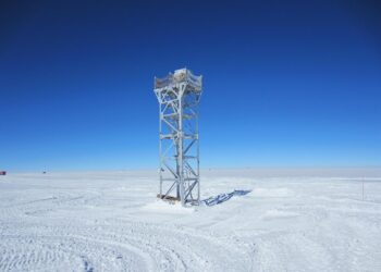
Astronomers pinpoint the best place on Earth for a telescope: High on a frigid Antarctic plateau
Credit: Zhaohui Shang au, could offer the clearest view on Earth of the stars at night, according to new research ...
Credit: Zhaohui Shang au, could offer the clearest view on Earth of the stars at night, according to new research ...
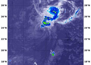
Credit: Credit: NASA/NRL Former Hurricane Douglas has encountered strong wind shear after passing the Hawaiian Islands and has now weakened ...
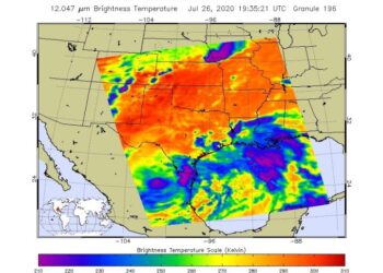
Credit: Credit: NASA JPL/Heidar Thrastarson NASA's Aqua satellite provided infrared data on Tropical Depression Hanna while imagery from NASA-NOAA's Suomi ...
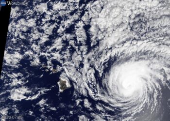
Credit: Credit: NASA Worldview, Earth Observing System Data and Information System (EOSDIS) Imagery from NASA's Terra satellite was used to ...
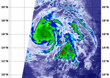
Credit: Credit: NASA/NRL Hurricane Douglas is a major hurricane tracking through the Central Pacific Ocean on a forecast track to ...
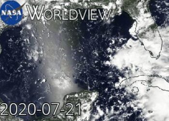
Credit: Courtesy: NASA Worldview, Earth Observing System Data and Information System (EOSDIS). NASA's Aqua satellite obtained visible imagery as Tropical ...
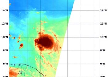
Credit: Credits: NASA/NRL When NASA's Aqua satellite passed over the North Atlantic Ocean, it gathered water vapor data on Tropical ...
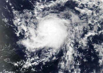
Credit: Credit: NASA Worldview Visible and microwave imagery from NASA's Aqua satellite indicated Tropical Storm Gonzalo was slightly less organized ...
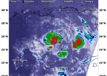
Credit: NASA/NRL NASA's Aqua satellite used infrared light to identify the strongest storms and coldest cloud top temperatures in Tropical ...
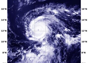
Credit: Credit: NASA/NRL Although a compact storm, hurricane Douglas in the Eastern Pacific is mighty, as it has become the ...
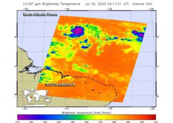
Credit: Credit: NASA JPL/Heidar Thrastarson The seventh named tropical cyclone of the North Atlantic Ocean has formed, and like some ...
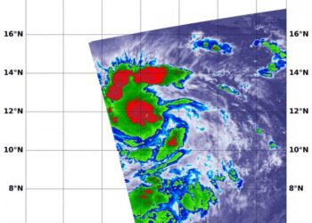
Credit: Credit: NASA/NRL Infrared data from NASA's Terra satellite showed that dry air around Tropical Storm Douglas has been inhibiting ...
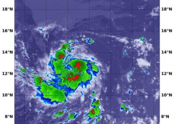
Credit: Credit: NASA/NRL Tropical Depression 8E developed on July 20 and quickly organized into a tropical storm. Infrared NASA satellite ...
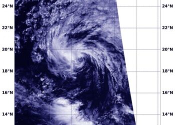
Credit: Credit: NASA Worldview, Earth Observing System Data and Information System (EOSDIS) NASA-NOAA's Suomi NPP satellite passed over the Eastern ...

Credit: © FBH/schurian.com The Franco-German satellite MERLIN is due to be launched into space in 2025 to measure the methane ...
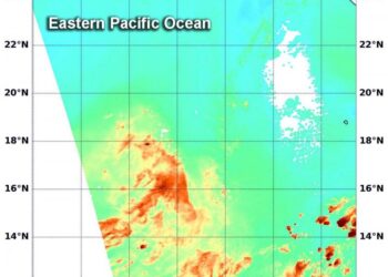
Credit: Credits: NASA/NRL When NASA's Aqua satellite passed over the Eastern Pacific Ocean, it gathered water vapor data on Tropical ...
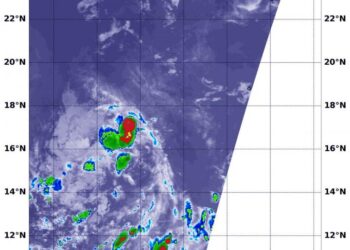
Credit: NASA/NRL NASA's Aqua satellite used infrared light to identify the strongest storms and coldest cloud top temperatures in Tropical ...
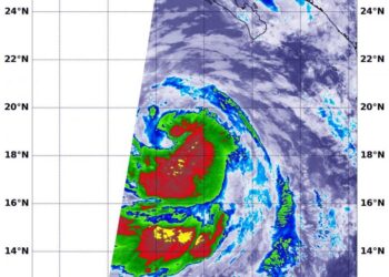
Credit: Credit: NASA/NRL NASA's Aqua satellite revealed better organization and colder cloud top temperatures in Tropical Storm Cristina, indications that ...
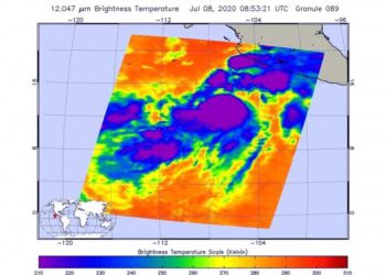
Credit: Credit: NASA JPL/Heidar Thrastarson The analysis of Tropical Cyclone Cristina's cloud top temperatures revealed some bands of thunderstorms were ...
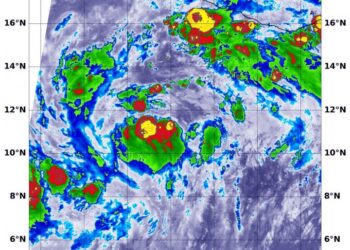
Credit: Credit: NASA/NRL A low-pressure area strengthened quickly and became Tropical Storm Cristina in the Eastern Pacific Ocean and infrared imagery ...