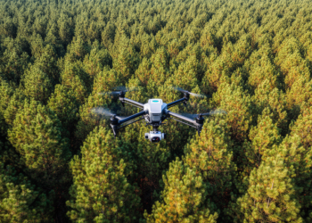
Drone Imaging Reconstructs Three-Dimensional Pine Canopy Water Dynamics for Drought Breeding
Researchers developed a multi-temporal drone remote sensing framework combining multispectral imagery and 3D LiDAR point clouds to map slash pine ...
Researchers developed a multi-temporal drone remote sensing framework combining multispectral imagery and 3D LiDAR point clouds to map slash pine ...